Ohio State Route 45, like Ohio Route 44 and Ohio Route 46, is a north-south highway in northeastern Ohio. It runs in Ashtabula, Trumbull, Mahoning, and Columbiana Counties, and it parallels Ohio Route 11 to the west. The northern end is at the lakeshore route of Ohio Route 531, which runs along Lake Erie. This northern terminus is just west of Ashtabula. Ohio Route 45 runs straight from here through farmland and very small towns until it gets to Warren. The highway serves the city center of Warren, and it continues south to bypass downtown Salem to the west. After bypassing Salem, Ohio Route 45 runs south-southeasterly into Lisbon. The terrain becomes more interesting this point, and Ohio Route 45 becomes more curvaceous for what will be its final stretch. The final stretch ends at Ohio Route 7 near the Ohio River, in Wellsville, a town just west of East Liverpool (maybe they could have called it West Liverpool?). This southern terminus of Ohio Route 45 is across from the northern tip of West Virginia's panhandle.
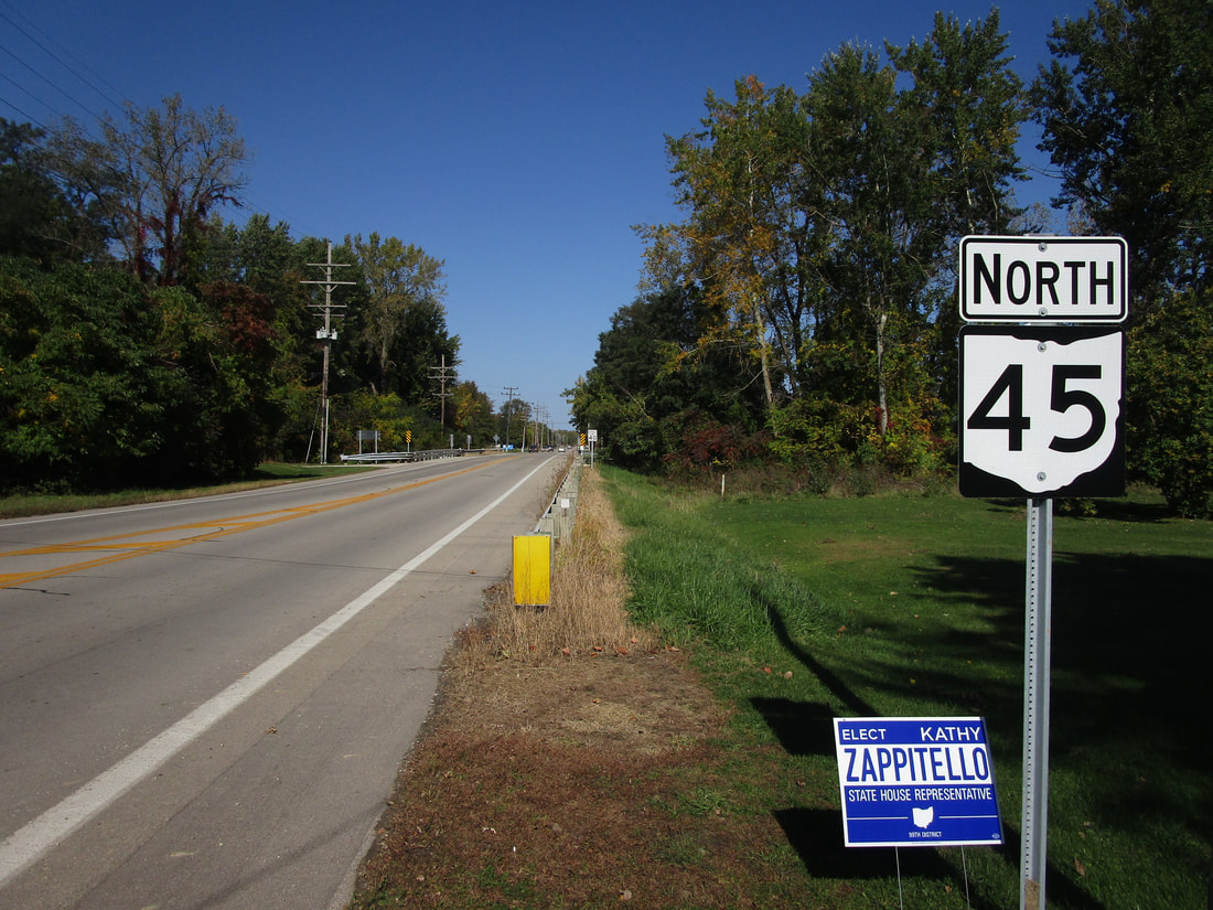
My photo of Ohio State Route 45 signage comes from its intersection with US Route 20 near the northern end of the route. Ashtabula lies only a few miles to the east. The trailblazer shown in the photo informs travelers what route they are taking if they have decided to leave this 4-way intersection toward the north. This photo was taken during the tour of northeastern Ohio in October 2022.
Back to Ohio Routes 1 through 99.
Back to the Ohio main page.
Back to the home page.
Back to Ohio Routes 1 through 99.
Back to the Ohio main page.
Back to the home page.
