Ohio State Route 49 is the westernmost north-south state highway in northern Ohio, bending southeasterly at Fort Recovery to end in the Dayton area. The northern end of Ohio Route 49 is at the Michigan border, where it becomes Michigan Highway 49. This endpoint at the border is very close to the northwestern corner of Ohio. From there, Ohio Route 49 clings to a status as a small town and rural route on the western edge of Ohio. At the town of Fort Recovery, Ohio Route 49 starts to develop an easterly component to its motion, but it's still only heading south-southeasterly departing from this town. At Greenville, Ohio Route 49 passes right through the center of town, and it bends into a solidly southeasterly route. After a short jog east, concurrent with Interstate 70, Ohio Route 49 heads south to tread the line between Dayton and Trotwood. The state highway ends as it treads this line, and Ohio Route 49 terminates at US Route 35, where the west side of Dayton meets Trotwood, Ohio.
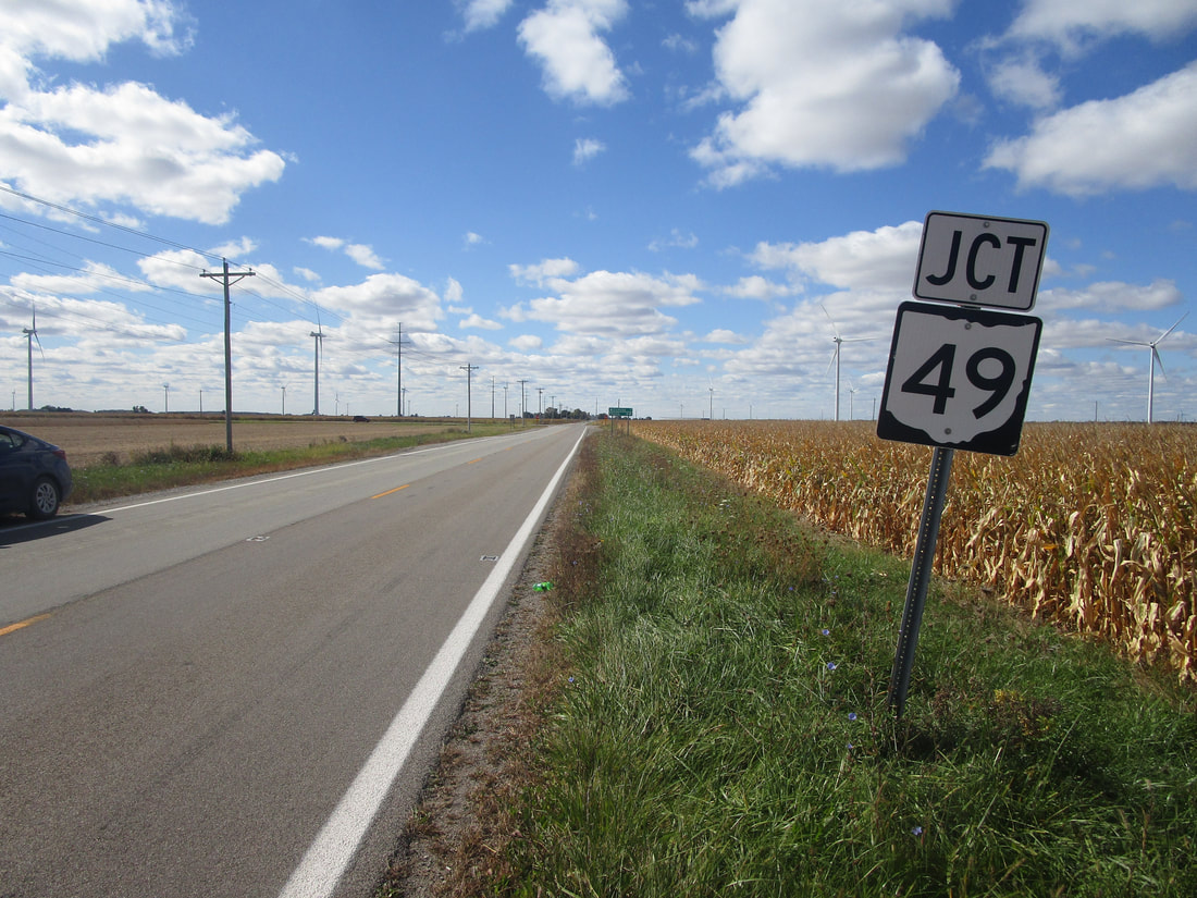
My photo of Ohio State Route 49 signage shows a junction marker on Ohio Route 114. Ohio Routes 114 and 49 meet several miles south of Payne, Ohio. This leaning junction marker notifies westbound travelers on Ohio Route 114 that the junction with Ohio Route 49 is coming up soon. This photo was taken in October, 2022, on a trip to Columbus, Mount Vernon, and various points all over northeastern Ohio.
Back to the Ohio main page.
Back to the home page.
Back to the Ohio main page.
Back to the home page.

