Ohio State Route 555 is a fairly long north-south route running from Zanesville to near Belpre. It winds its way through the hilly country of southeastern Ohio. The northern start of Ohio Route 555 is on the south side of Zanesville, at Ohio Routes 60 and 146. Ohio Route 555 actually runs westerly at this point, to cross a bridge over the Muskingum River, together with Ohio Route 719. As soon as the bridge is crossed, Ohio Route 555 turns southerly, splitting from Ohio Route 719, so it can really get started. Ohio Route 555 is a very rural route, passing only through Chesterhill and no other significant towns. The southern end of Ohio Route 555 is a few miles west of Belpre, at the triplicate concurrency of US Route 50, Ohio Route 32, and Ohio Route 7.
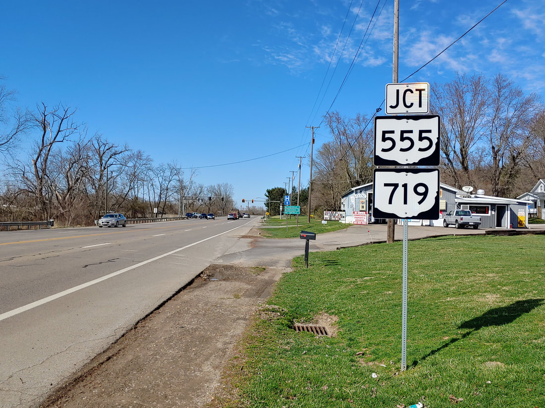
My photo of Ohio Route 555 signage comes from its northern terminus in Zanesville. The junction marker depicted is for travelers moving northward on this roadway carrying Ohio Route 60 and Ohio Route 146. These travelers will use this sign to anticipate the turn onto Ohio Route 555 and Ohio Route 719, which is at the signal just ahead. This photo was taken toward the tail end of the grand tour of southeastern Ohio in March 2021.
Back to Ohio Routes 500-599.
Back to the Ohio main page.
Back to the home page.
Back to Ohio Routes 500-599.
Back to the Ohio main page.
Back to the home page.
