Ohio State Route 60 is a long north-south route that is roughly two-thirds of the way across the state, measured from west to east. That is, about one-third of Ohio lies east of the route. Ohio Route 60 runs from Vermilion, along Lake Erie, to Marietta, where Interstate 77 crosses the Ohio River into West Virginia. The northern end in Vermilion is at US Route 6. In northern Ohio, Ohio Route 60 runs through a few small towns before converging with US Route 250 into Ashland. At Ashland, US Route 250 turns more easterly while Ohio Route 60 continues south to Loudonville. The southern pathing is interrupted in Loudonville, however, as Ohio Route 60 begins to follow Ohio Route 39 eastward. The duplex lasts for about 12 miles until Ohio Route 60 turns southerly about five miles west of Millersburg. Ohio Route 60 proceeds south as a curvy, winding route through the hills, reaching Dresden and Zanesville. Then, the route follows the Muskingum River from Zanesville to McConnellsville, where the route turns more easterly. That easterly turn is because of the Muskingum River's easterly turn, and Ohio Route 60 follows the river to Waterford, Lowell, and Devola. As the Muskingum River reaches its final destination of Marietta (emptying into the Ohio River), so, too, does Ohio Route 60. The Ohio state highway ends by crossing a bridge over the Ohio River, connecting Marietta, Ohio, with Williamstown, West Virginia.
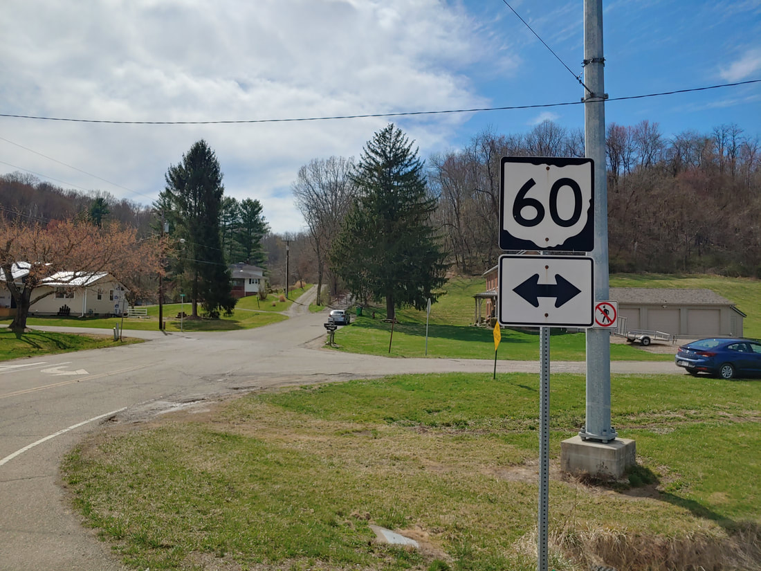
My photo of Ohio State Route 60 signage comes from Ohio Route 60's intersection with Ohio Route 208 in Dresden. The guide marker faces east at travelers on Ohio Route 208 who are pointed west. It sits right on the northwest corner of the intersection. This photo was taken in March 2021, as I was on the northern edge of a tour around the southeast quarter of Ohio.
Back to Ohio Routes 1 through 99.
Back to the Ohio main page.
Back to the home page.
Back to Ohio Routes 1 through 99.
Back to the Ohio main page.
Back to the home page.
