US Route 59 runs north-south across western Iowa. It's the second-most westerly highway spanning the entire length of Iowa from north to south; the westernmost highway to do this is Interstate 29. North of Interstate 80, it skewers through the center of the second-most westerly column of counties in Iowa. In the northern half of the United States, US Route 59 is sandwiched between US Route 75 and US Route 71 (meaning it should have the number "US Route 73"); the path US Route 59 takes through Iowa is no exception. US Route 59 first enters Iowa by crossing the border out of Minnesota near Bigelow, Minnesota, or just northeast of Sibley, Iowa. US Route 59 continues south through Cherokee, Denison, and Harlan before meeting an interchange with Interstate 80. From there, US Route 59 passes through Avoca and sets out for northwestern Missouri, passing through Shenandoah on the way. US Route 59 exits southwestern Iowa by crossing into northwestern Missouri, between Shenandoah and Tarkio, Missouri. The highway's southern continuation soon reaches St. Joseph, Missouri.
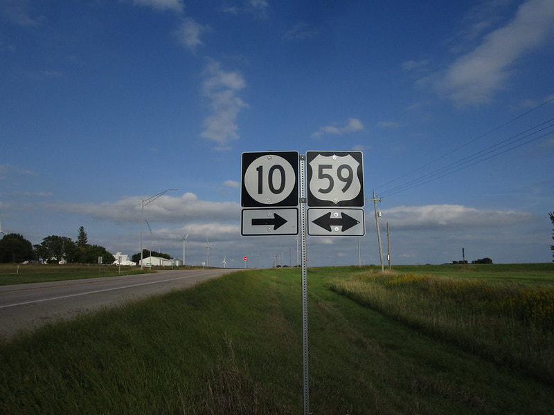
My photo of a US Route 59 marker in Iowa comes from a junction with Iowa Route 10 just east of Paullina, or north of Cherokee. At the junction in the photo, Iowa Route 10's eastbound journey is interrupted by a southerly concurrency with US Route 59. The signage depicted explains the junction to eastbound traffic on Iowa Route 10 that's encountering US Route 59 for the first time. This photo was taken in September 2019 during my trip across northern Iowa.
Back to the Iowa main page.
Back to the home page.
Back to the Iowa main page.
Back to the home page.
