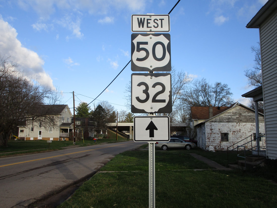
iOhio State Route 32, or the James A. Rhodes Appalachian Highway, is largely a high-speed four-lane highway across southern Ohio. The westernmost segment, west of Interstate 275, is a surface road serving some of Cincinnati's eastern suburbs. That westernmost segment reaches its western end at an interchange with US Route 50 in Milford; that interchange also serves at Ohio Route 561's southern terminus. Ohio Route 32 and Ohio Route 125 head east in Milford, soon splitting apart. Ohio Route 32 runs northeast to Newtown, and it becomes a four-lane highway in Mount Carmel. Ohio Route 32 has various interchanges interspersed with at-grade intersections until it reaches US Route 68 in Mount Orab. Though the interchanges become rarer beyond this point, Ohio Route 32 remains a divided four-lane high-speed highway with a grassy median all the way until the eastern edge of the state. Ohio Route 32 runs past Sardinia, Piketon, and Jackson. It passes through Albany, then it joins US Route 50 eastward in Athens. At Coolville, Ohio Route 7 joins to form a triplicate. Before Belpre, US Route 50 diverts southerly across the Ohio River, and at Belpre, Ohio Route 32 exits from Ohio Route 7 to go south into downtown Belpre. There, Ohio Route 32 and Ohio Route 618 join together across the Ohio River, into Parkersburg, West Virginia.
My photo of Ohio State Route 32 signage comes from Albany, where exit ramps connect with Ohio Route 681. Ohio Route 32, concurrent with US Route 50, passes northeasterly over Ohio Route 681, which runs northwesterly. This photo looks northwesterly at a guide marker at the southeastern junction with the eastern onramp, and the guide marker shows drivers where to find the other ramp. This photo was taken on Ohio Route 681 in March 2021, during the grand tour of southeastern Ohio.
Back to Ohio Routes 1 through 99.
Back to the Ohio main page.
Back to the home page.
Back to Ohio Routes 1 through 99.
Back to the Ohio main page.
Back to the home page.
