Ohio State Route 245 runs westward from Marysville to several small towns in southern Logan County and northern Champaign County. It's a very jagged route, running for about 35 miles. At an interchange marking the western end of US Route 33's concurrency with US Route 36, Ohio Route 245 is born. US Route 36 diverts to the south, and Ohio Route 245 starts off toward the west, as US Route 33 continues its diagonal course northwestward. Ohio Route 245's first order of business is to serve the town of North Lewisburg, where it meets Ohio Route 559. Next, it zigzags along an overall westward course to West Liberty, where it crosses US Route 68. The last piece of Ohio Route 245 continues west, then bends south for the final mile, to end at Ohio Route 29 near Rosewood.
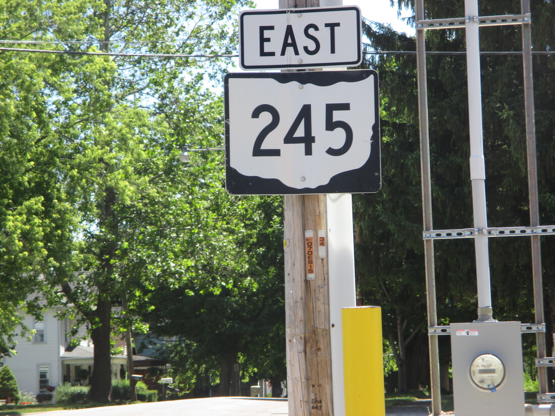
My photo for Ohio State Route 245 shows an eastbound trailblazer for those leaving the 4-way intersection with US Route 68 in West Liberty. This helps travelers confirm whether or not they made the right decision after they turned toward the east. This photo was taken in June 2016 during a convoluted route home from Columbus.
Back to Ohio Routes 200-299.
Back to the Ohio main page.
Back to the home page.
Back to Ohio Routes 200-299.
Back to the Ohio main page.
Back to the home page.
