Ohio State Route 28 is an east-west route in southwestern Ohio, between Cincinnati and Chillicothe. As both of its ends are at US Route 50, another east-west highway, one might consider Ohio Route 28 a northern alternate to US Route 50. The western end is at US Route 50 (told you so) in Milford, an eastern suburb of Cincinnati. The western end, also at US Route 50, is just shy of Chillicothe; that is, the western end is just west of Chillicothe proper. Whereas US Route 50 passes through Hillsboro and Bainbridge, Ohio Route 28 serves towns that are a little farther north, like Blanchester and Greenfield.
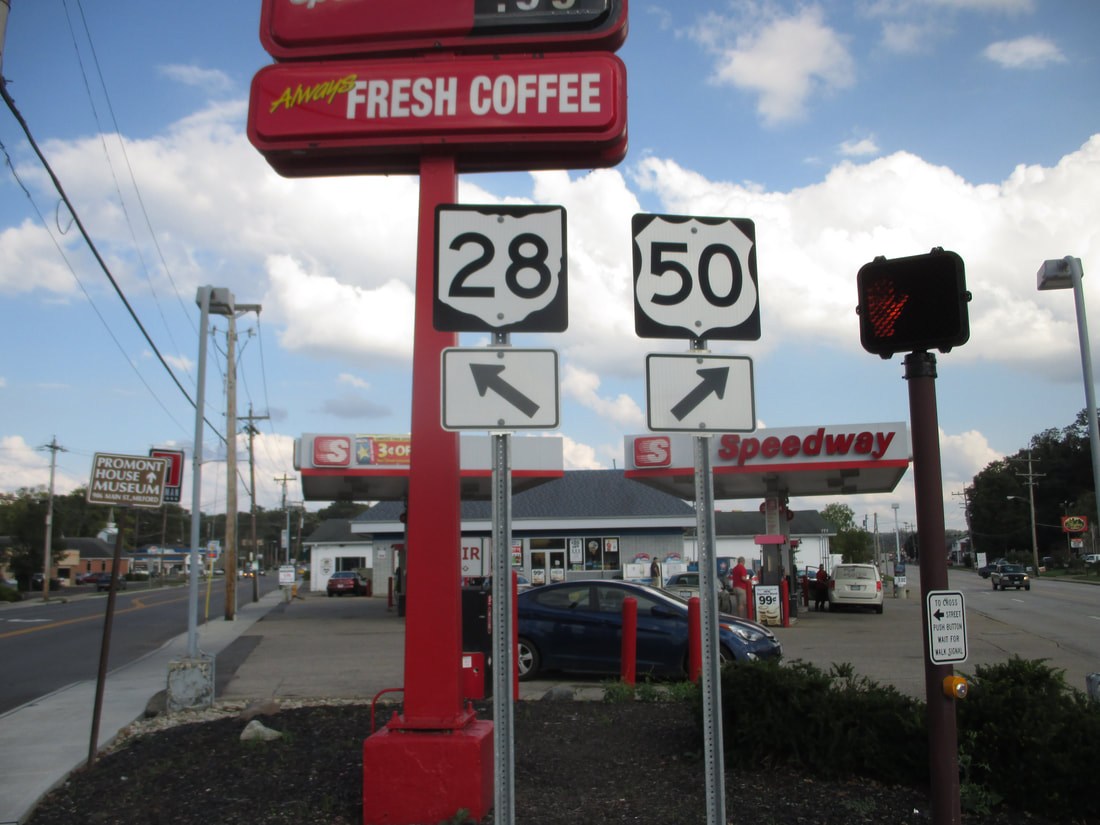
My photo of Ohio State Route 28 signage comes from the western end in Milford. The signage depicted faces west at a sort of gore point, where Ohio Route 28 splits toward the left from US Route 50. The southwestern Ohio trip of October, 2018, gave the opportunity to take this photo.
Back to Ohio Routes 1 through 99.
Back to the Ohio main page.
Back to the home page.
Back to Ohio Routes 1 through 99.
Back to the Ohio main page.
Back to the home page.
