Ohio State Route 727 runs northeast-southwest for about five miles in northern Clermont County. It's used as a shortcut between Ohio Route 131's western leg and Ohio Route 133's northern leg, and it's used as a way to reach Stonelick Lake. The southwestern end at Ohio Route 131 is a bit west of the hamlet called Newtonsville. The route runs northeast from there, past Stonelick Lake, to a junction with Ohio Route 133. Taking Ohio Route 133 for another six miles will land a traveler in Blanchester.
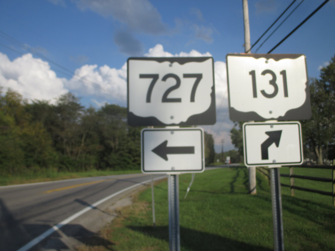
My photo for Ohio Route 727 comes from the southwestern end, where it meets Ohio Route 131. The guide assembly shown faces west for eastbound drivers on Ohio Route 131. This photo was taken in October 2018 during a drive around southwestern Ohio. Unfortunately, it's a pretty blurry photo.
Back to Ohio Routes 700 and up.
Back to the Ohio main page.
Back to the home page.
Back to Ohio Routes 700 and up.
Back to the Ohio main page.
Back to the home page.
