US Route 160States Traversed: Arizona, New Mexico, Colorado, Kansas, and Missouri.
|
|
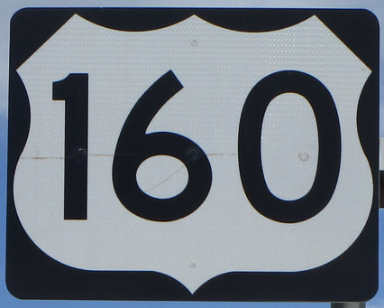
US Route 160 is a very long 3-digit US Route, running east from a point very close to the Four Corners, to southeastern Missouri. The western end is at US Route 64, at Teec Nos Pos, in the northeast corner of Arizona. US Route 160 actually provides access to the Four Corners National Monument along its first stretch, barely cutting through the northwest corner of New Mexico. US Route 160 then serves an important purpose in the southern portions of Colorado, Kansas, and Missouri, stretching across all three of those states. From Joplin to Springfield, in southwest Missouri, US Route 160 joins with its parent route, US Route 60. But in Springfield, US Route 160 is kicked off to the south to it can once again regain its own route. The eastern end of US Route 160 is at US Route 67, about 10 miles southwest of Poplar Bluff, Missouri.
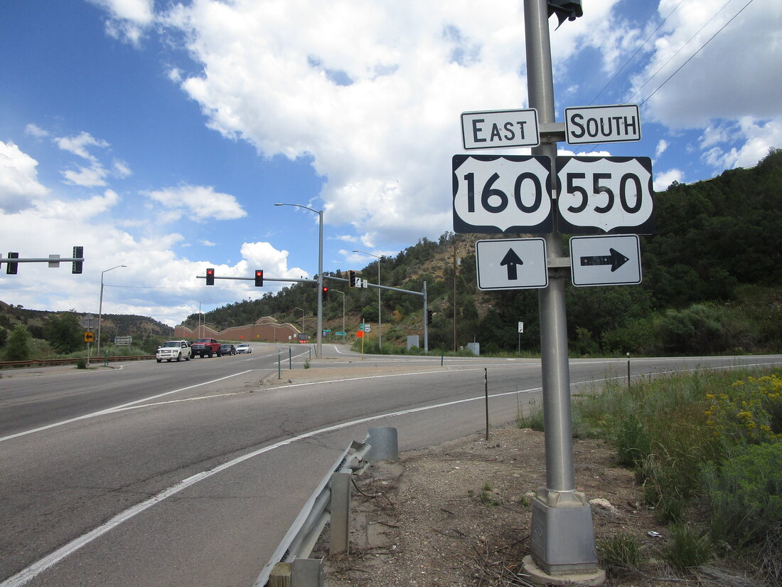
My photo of US Route 160 signage comes from Durango, Colorado, at the southern end of its duplex with US Route 550. The sign assembly depicted faces west for travelers that curved around to meet the split of the two routes. It's soon to be no longer in use, though, as Colorado's DOT is constructing a full interchange which will replace this at-grade intersection. This sign assembly was photographed in September 2022, as part of my trip to all four national parks in Colorado.
Back to the nationwide main page.
Back to the home page.
Back to the nationwide main page.
Back to the home page.
