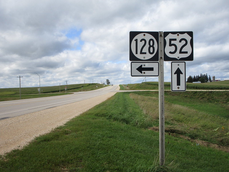
US Route 52, on a national level, is a diagonal northwest-southeast highway, and it cuts a northwest-southeast path across northeastern Iowa. Its path in Iowa is north-south more than east-west, from the Minnesota border north of Decorah to the eastern tip of Iowa's eastern lobe. The northern entrance of US Route 52 in Iowa is between Canton, Minnesota, and Decorah, Iowa. It heads south through Decorah to Calmar, where it bends east-southeasterly. US Route 18 joins US Route 52 east at Postville. About twelve miles east of there, US Route 52 turns southerly away from US Route 18, and it becomes the route that hugs the western shore of the Mississippi River; it hugs the river loosely, but more closely than any other route. In the Dubuque area, US Route 52 was recently rerouted to head south past Iowa Route 3 to join US Route 20 east. The reroute was done so US Route 52 can use the new southwesterly bypass constructed around Dubuque. The end of the bypass is at US Route 61, which US Route 52 joins northward for a short distance so it can reach its old alignment southeast away from town. Now, US Route 52 is really following the Mississippi River to Sabula, Iowa's island city. Just outside of Sabula, US Route 52 meets the northern end of US Route 67, which follows the Mississippi River farther south. US Route 52 turns easterly onto Iowa Route 64 to access Sabula and continue onward, across the Mississippi River into Savannah, Illinois (Iowa Route 64 becomes Illinois Route 64).
My photo of US Route 52 in Iowa comes from its junction with Iowa Route 128 near Garnavillo, Iowa. The sign assembly depicted faces south, identifying the location of the turn onto Iowa Route 128 for travelers on US Route 52 northbound. I took this photo as I was getting my trip across northern Iowa started, back in September 2019.
Back to the Iowa main page.
Back to the home page.
Back to the Iowa main page.
Back to the home page.

