Interstate 43States traversed: Wisconsin
|
|
Interstate 43 runs from Beloit northeast to Milwaukee, and from Milwaukee north to Green Bay near the Lake Michigan shoreline. The entire route is within the boundaries of Wisconsin. The southern extent of Interstate 43 points roughly west, at an interchange with Interstates 39 and 90 in Beloit. Interstates 39 and 90 run concurrently past Beloit, which sits just barely north of the Illinois border. From Beloit, Interstate 43 runs northeasterly to Milwaukee, passing Delavan and Elkhorn along the way. At Milwaukee, Interstate 43 turns easterly along Interstate 894; Interstate 41 comes from the north to use this stretch going east. At the Mitchell Interchange, near the Mitchell Airport, Interstate 43 trades Interstate 41 for Interstate 94, and Highways 43 and 94 go north into downtown Milwaukee. At the Marquette Interchange in downtown Milwaukee, Interstate 94 turns westerly, sprouting an easterly Interstate 794 and leaving Interstate 43 to continue north. Continue north it does, through locales along the western shore of Lake Michigan, like Port Washington, Sheboygan, and Manitowoc. The route skirts past the base of the Door Peninsula to reach Green Bay, wrapping around the eastern and northern sides of the city to end at US Route 41. The interchange marking the northern end of Interstate 43 also marks the northern end of Interstate 41.
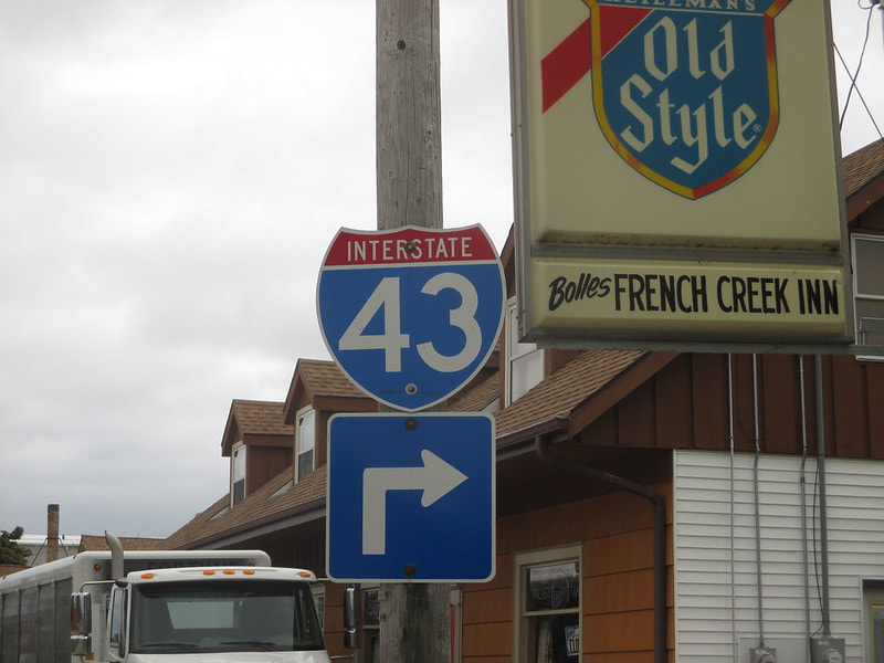
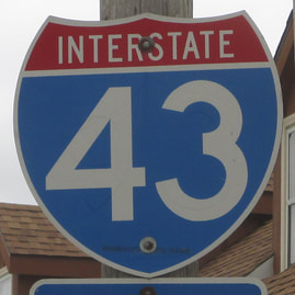
My photo for Interstate 43 is a cutout shield rather than a unisign: a rare sight in Wisconsin. The photo comes from Francis Creek, Wisconsin, where this sign faces north along the main drag through town. The sign shows southbound travelers that they need to turn ahead, if they wish to access the road heading west to the local interchange with Interstate 43. This photo was taken during a pit stop, along the way up to the Upper Peninsula of Michigan, the focus of a vacation I took in July, 2015. The exit to Francis Creek is about five to ten miles north of the exits to Manitowoc.
Back to the nationwide main page.
Back to the home page.
Back to the nationwide main page.
Back to the home page.
