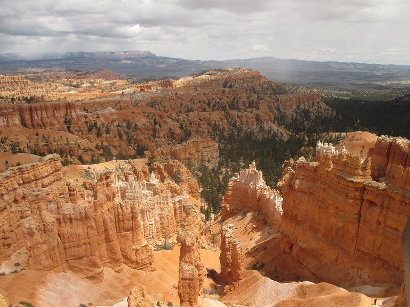
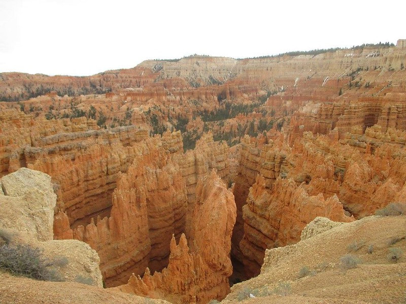
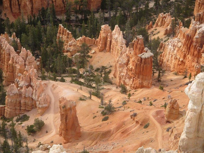
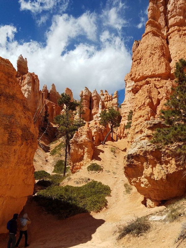
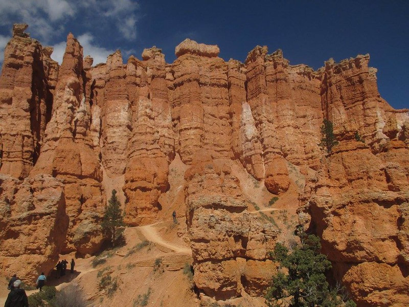
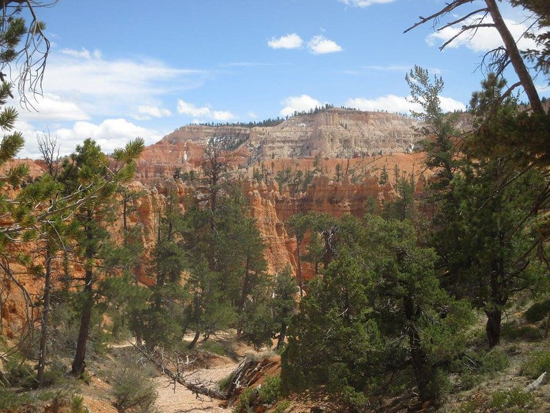
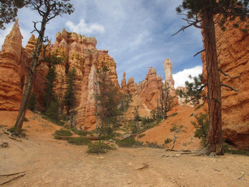
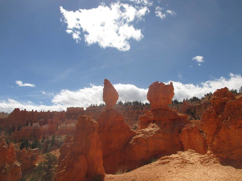
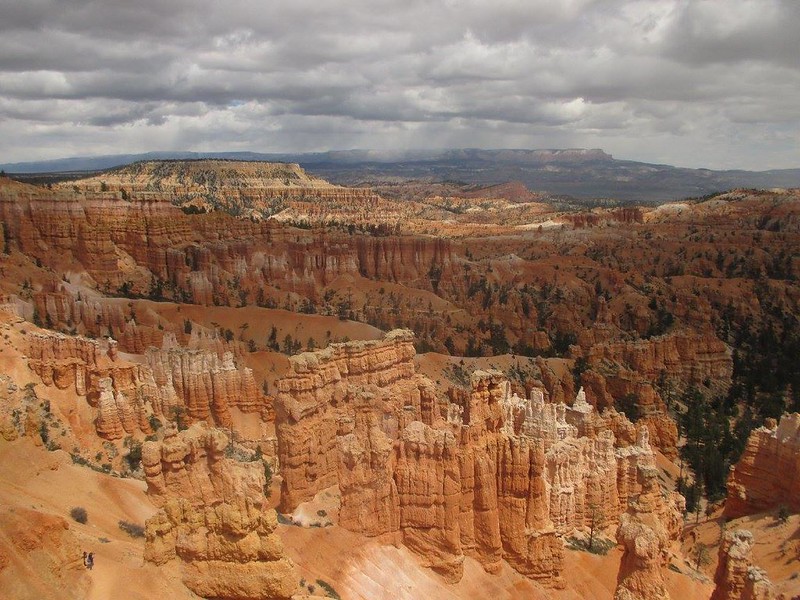
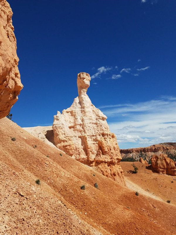
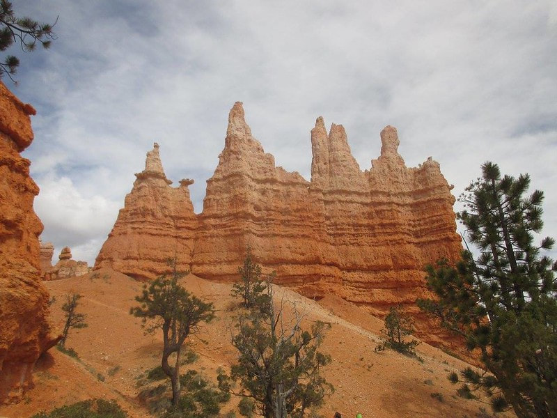
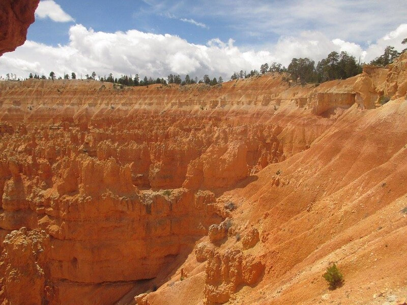
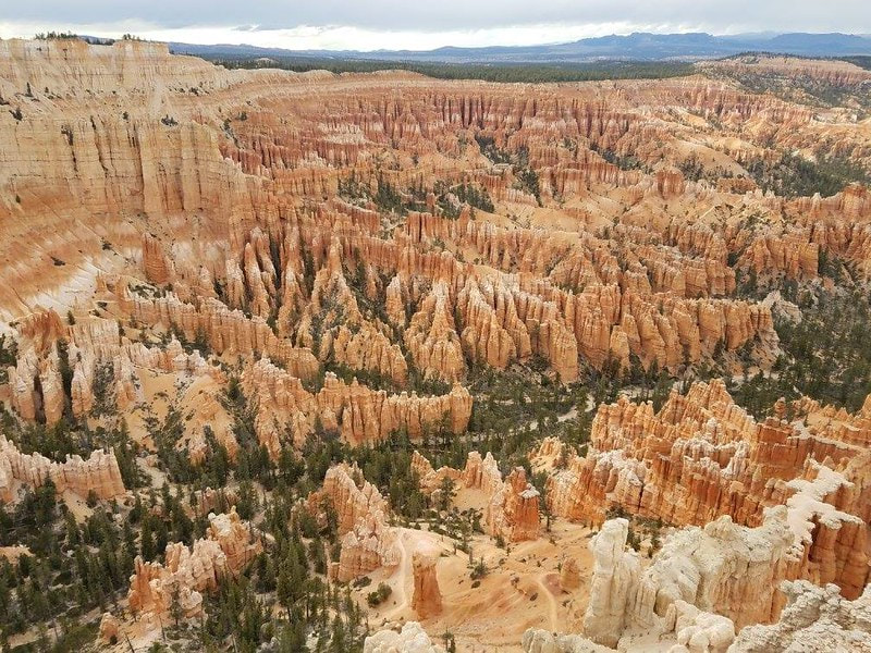
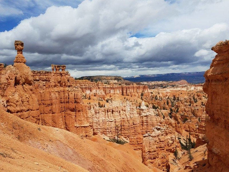
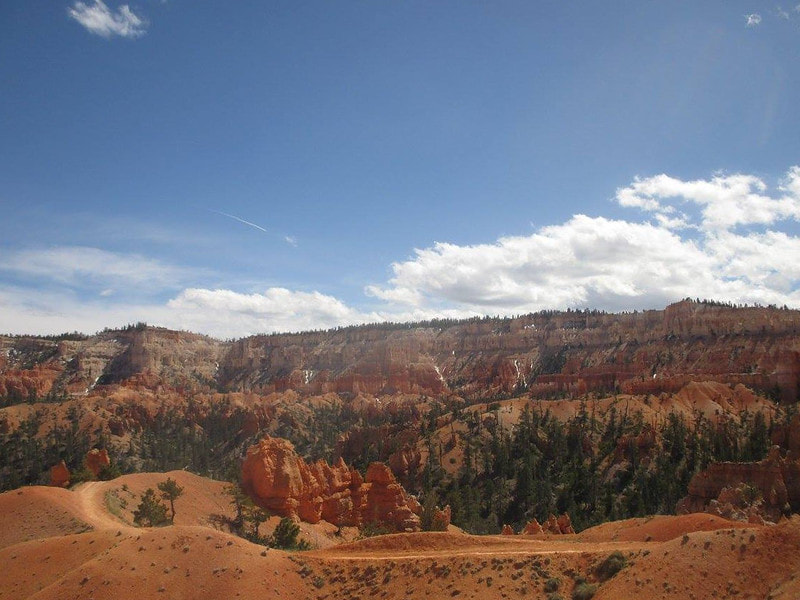
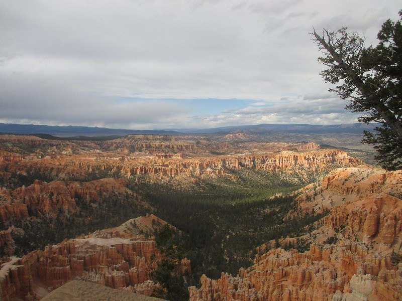
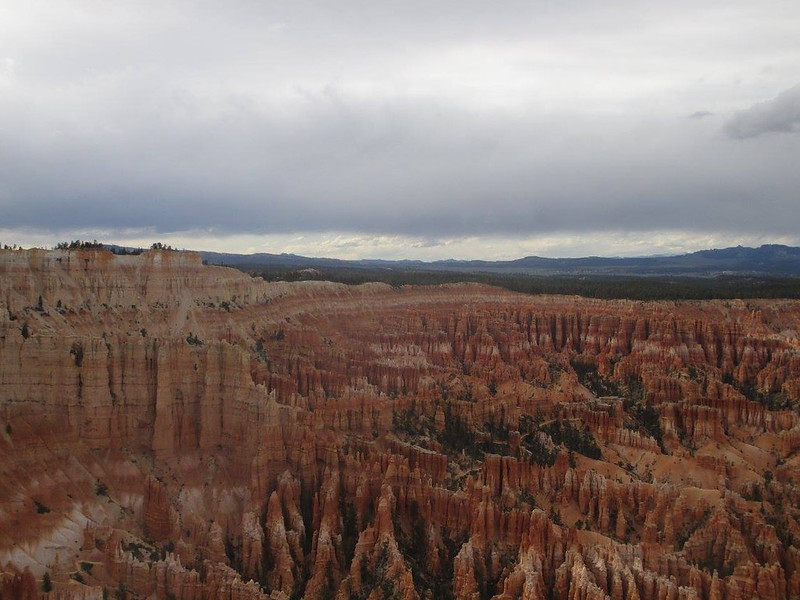
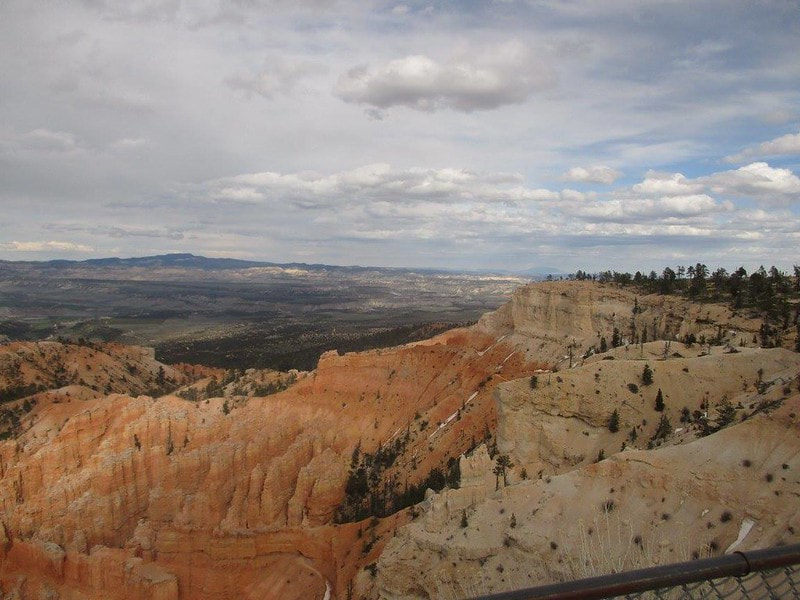
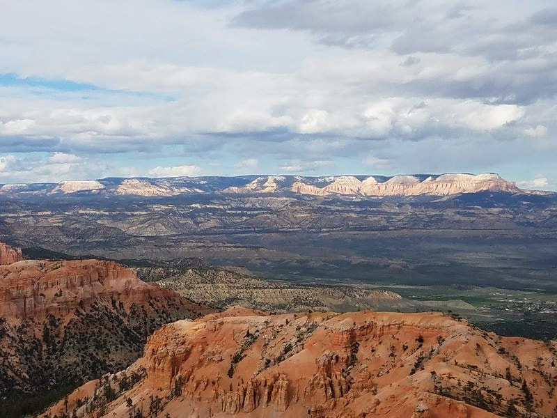
Bryce Canyon National Park is the foremost place to see dramatic views of hoodoos in south-central Utah. A hoodoo is a tall, skinny tower of rock left standing after a majority of the surrounding rock touching the ground was eroded away. The hoodoos in Bryce Canyon are the remnant sedimentary rocks that were strong enough to withstand the erosion that washed everything else away. All of the sediment on top of those rocks stayed intact as well, leaving arrays of sandstone towers that created the dramatic and distinctive landscapes found in Bryce Canyon National Park today.
During our visit to Bryce Canyon in late April 2017, we hiked a loop in the main cluster of trails, and made two more stops after that, at the Inspiration Points and at Bryce Point.
Part 1: Descending on the Navajo Loop Trail
We hiked our circuitous path in a counterclockwise direction, and I'm not sure if I recommend going in this direction because of its anticlimactic experience. We chose to make a loop out of the Navajo Loop Trail and the Queens Garden Trail, as we thought that would be an efficient way to see all of the best sights on our one-day visit. No matter which way you wrap around the circular path, you will descend somewhat into the canyon before hiking back upward. The slopes and the need for concern are not nearly as severe as at the Grand Canyon, but you should still keep in mind that the return trip back to the parking lot will be significantly more strenuous as the first half of your hike.
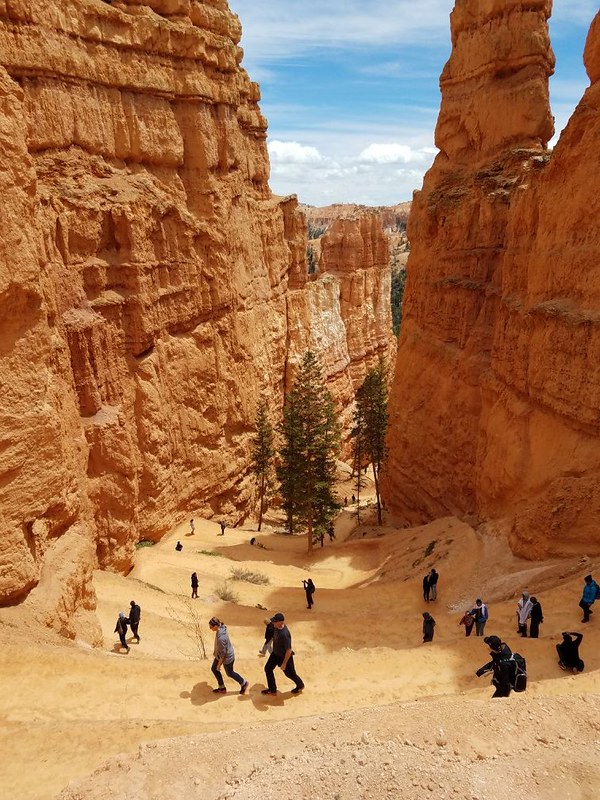
Here are a couple views of the switchbacks on the trail we hiked:
Always make sure you turn around to see the view of everything behind you! You might miss out on seeing something! We hiked downward on these switchbacks, but I was glad I turned around to look back and admire the cliff faces behind us.
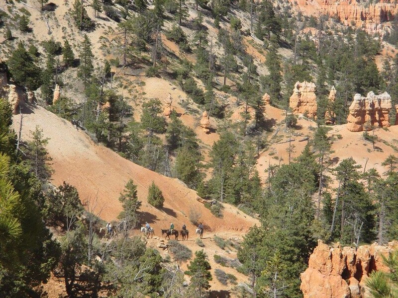
Some people opted for mules to take them down the Bryce Canyon trails. (This unfortunately means that, just like at the Grand Canyon, you have to watch for animal droppings everywhere you step.)
Part 2: The latter half of our circuit, the Queens Garden Trail:
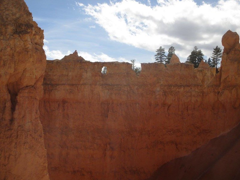
Peek-a-boo! There's a little peephole over there. I think you can walk up to it and play peek-a-boo with hikers later on in the trail (don't quote me on that, though):
FIGHT THE POWER!
Since we visited the park in late spring, we could see some narrow veins of snow on some of the distant rock formations. Though it was in the lower 40's (Fahrenheit; this is about 6°C), some snow and graupel fell on us on the morning of April 27, 2017, when we visited the park and took these photos:
Part 3: Views from Bryce Point
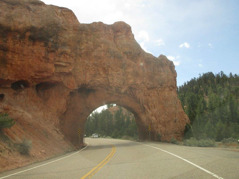
Bonus: The most beautiful and mind-boggling highway I've ever driven from end to end is Utah Route 12, the roadway everyone uses to reach Bryce Canyon National Park. Utah Route 12 starts at US Route 89 north of Zion National Park, and runs easterly through Bryce to turn northerly and end at Utah Route 24, in the town of Torrey. Utah Route 63 is the short spur south from Utah Route 12 that provides the entrance to Bryce Canyon National Park, but traveling on Utah Route 12 is almost required for getting to this entrance road. Utah Route 12 traverses dramatic and diverse landscapes ranging from semiarid red rock landscapes in the high desert, to alpine mountain forests sitting at even higher elevations. Though it was the very end of April when we visited Bryce Canyon and drove Utah Route 12, we saw snow and sleet falling from the sky as we drove the highest portion of the highway, northeast of the park. West of the park, Utah Route 12 travels through several short tunnels, forming nifty archways that reach across the roadway:
Utah Route 12 also accesses Kodachrome Basin State Park, which sits just east of Bryce Canyon. We hiked around that state park to see features like Shakespeare's Arch.
Count: Bryce Canyon was the 2nd national park we visited.
Back to the national park main page.
Back to the home page.
Count: Bryce Canyon was the 2nd national park we visited.
Back to the national park main page.
Back to the home page.
