US Route 30 runs east-west all the way across the middle of Iowa, with a southwesterly dive toward Nebraska at the western end of the state. It's a more central route than even Interstate 80, which lies to the south; with the exception of the southwesterly dive at the western end of Iowa, US Route 30 spans the central row of Iowa's nine rows of counties. US Route 30 is instrumental in the transportation to, from, and around Cedar Rapids, Marshalltown, Clinton, Carroll, and Ames. US Route 30 first enters Iowa's western extent by crossing the Missouri River out of Blair, Nebraska. From there, US Route 30 continues east to an interchange with Interstate 29, where it bends northeast through Logan to Denison, in the Loess Hills region. At Denison, US Route 30 stops bending, and holds a steady, mostly straight eastward course like a good little even-numbered route. At Ogden, west of Ames, US Route 30 widens to a four-lane expressway. The expressway continues along the south sides of Ames, Marshalltown, Cedar Rapids, and the twin cities of Mount Vernon and Lisbon. After Mount Vernon and Lisbon, though, US Route 30 reverts to a two-lane highway until Iowa's eastern lobe carved by the Mississippi River. In that lobe is DeWitt, where US Route 30 joins the US Route 61 freeway south for a mile. US Route 30 emerges from the concurrency as another expressway, until just outside of Clinton. US Route 67 joins US Route 30 east into Clinton, but departs so that US Route 30 can cross the Mississippi River into Illinois.
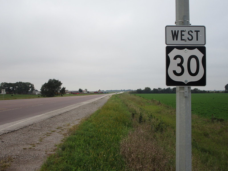
My photo for US Route 30 in Iowa shows the westbound trailblazer for travelers leaving the intersection with Iowa Route 144. This is just west of Ogden, the town marking the western end of US Route 30's expressway portion. This photo was taken in September 2019 on the way home from northwest Iowa.
Back to the Iowa main page.
Back to the home page.
Back to the Iowa main page.
Back to the home page.

