Michigan Highway 247 is a short north-south route in the Bay City, traveled for the purpose of accessing Bay City State Park. The southern terminus of Michigan Highway 247 is at a point along Michigan Highway 13, where that route's northerly course bends northwesterly. Michigan Highway 247 heads straight north, adopting the former longitude of the Michigan Highway 13 that decided to curve to the northwest. Michigan Highway 247 stays straight for three miles, turning sharply to the east for a fraction of a mile to reach Bay City State Park, which provides recreational access to Saginaw Bay. The entrance to the state park marks the end of Michigan Highway 247.
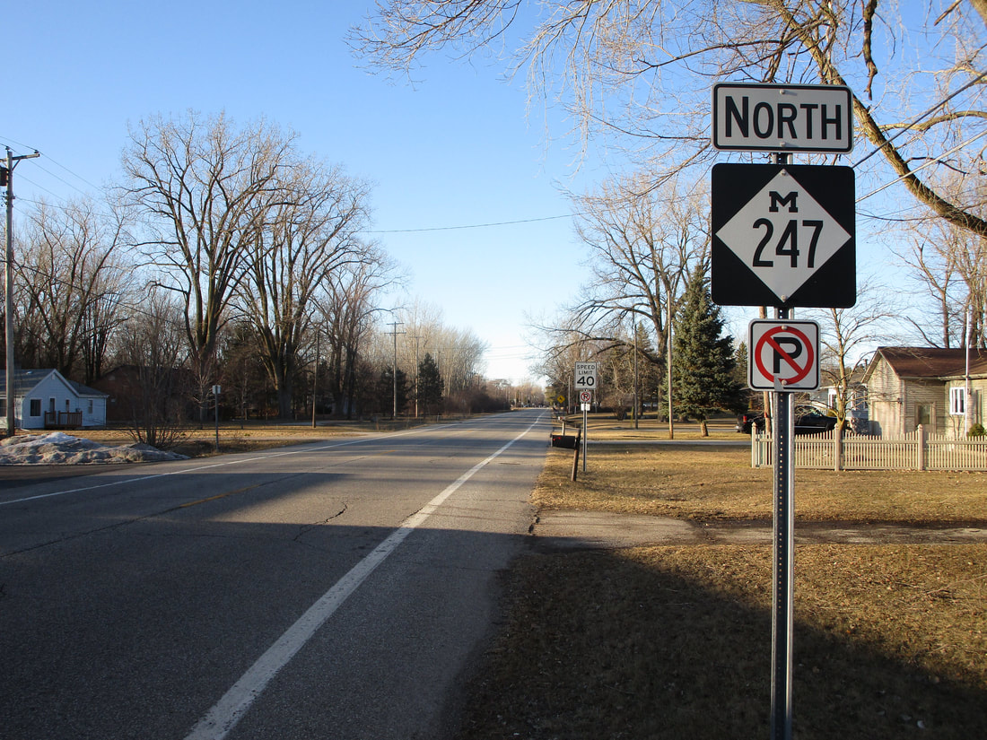
My photo of Michigan Highway 247 shows a northbound reassurance marker at the intersection with Boy Scout Road, almost two miles from the southern start of Michigan Highway 247. The signage depicted faces south. This photo was taken in March 2019, during a trip around middle and lower portions of the Lower Peninsula.
Back to the Michigan main page.
Back to the home page.
Back to the Michigan main page.
Back to the home page.
