Michigan Highway 123 is a route shaped like an upside-down "J" (or like a candy cane with the hook on the west side), in the northeastern portion of the Upper Peninsula. It goes northeast, then south beyond its initial latitude, curving southeast for its final segment. From Michigan Highway 28 near Newberry, Michigan Highway 123 runs northeast to Paradise, then south to Trout Lake, crossing Michigan Highway 28 again; the final section runs southeast from Trout Lake to an interchange with Interstate 75 north of St. Ignace. I argue that the section of Michigan Highway 123 southwest of Paradise should be an extension of Michigan Highway 117, whose northern end is just west of Michigan Highway 123's western end near Newberry. The westernmost section, between Paradise and Newberry, is the way to reach Tahquamenon Falls State Park.
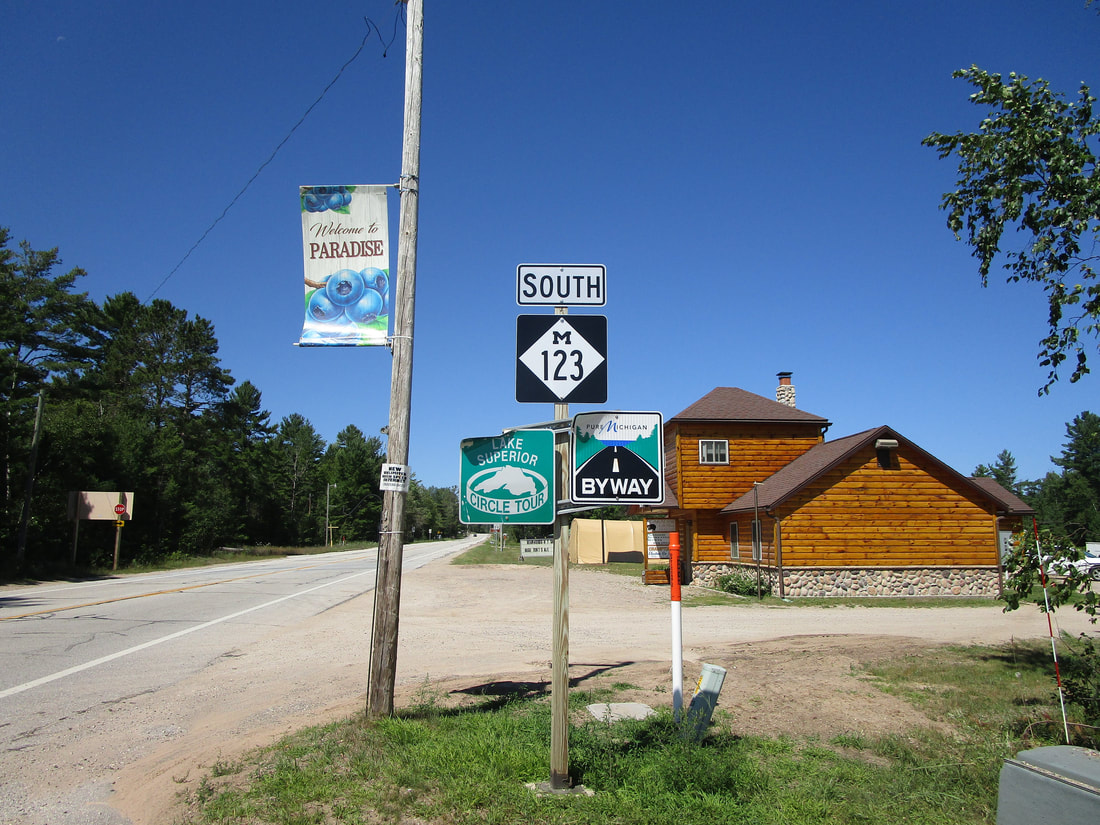
My photo of Michigan Highway 123 comes from Paradise, at the northern apex of the route. In Paradise, the western segment coming up from Newberry enters town oriented eastward; the central junction in town has Michigan Highway 123 turning from easterly to southerly. Though the reassurance marker in the photo says "south," this photo faces east for cars heading westbound from the junction. That's right, we're looking west, but the sign says "south." If that's the case, the only options for official directions taken by Michigan Highway 123 are "south", and "south". The routing for this highway makes no sense. I took this photo in August 2020 during a trip around northern Michigan involving the Porcupine Mountains, Pictured Rocks, Tahquamenon Falls, Mackinac Island, and Traverse City.
Back to the Michigan main page.
Back to the home page.
Back to the Michigan main page.
Back to the home page.
