Michigan Highway 65 is a north-south highway cutting a north-south chord across the curve of the northeastern Lower Peninsula. As US Route 23 hugs the Lake Huron shoreline, tracing the outline of the northeastern Lower Michigan, both the northern end and the southern end of Michigan Highway 65 occur at US Route 23. The southern end of Michigan Highway 65 is at an east-west section of US Route 23 along the northern edge of Saginaw Bay; this occurs between the towns of Omer and Au Gres. The northern end, also at US Route 23, is north of Posen in Presque Isle County.
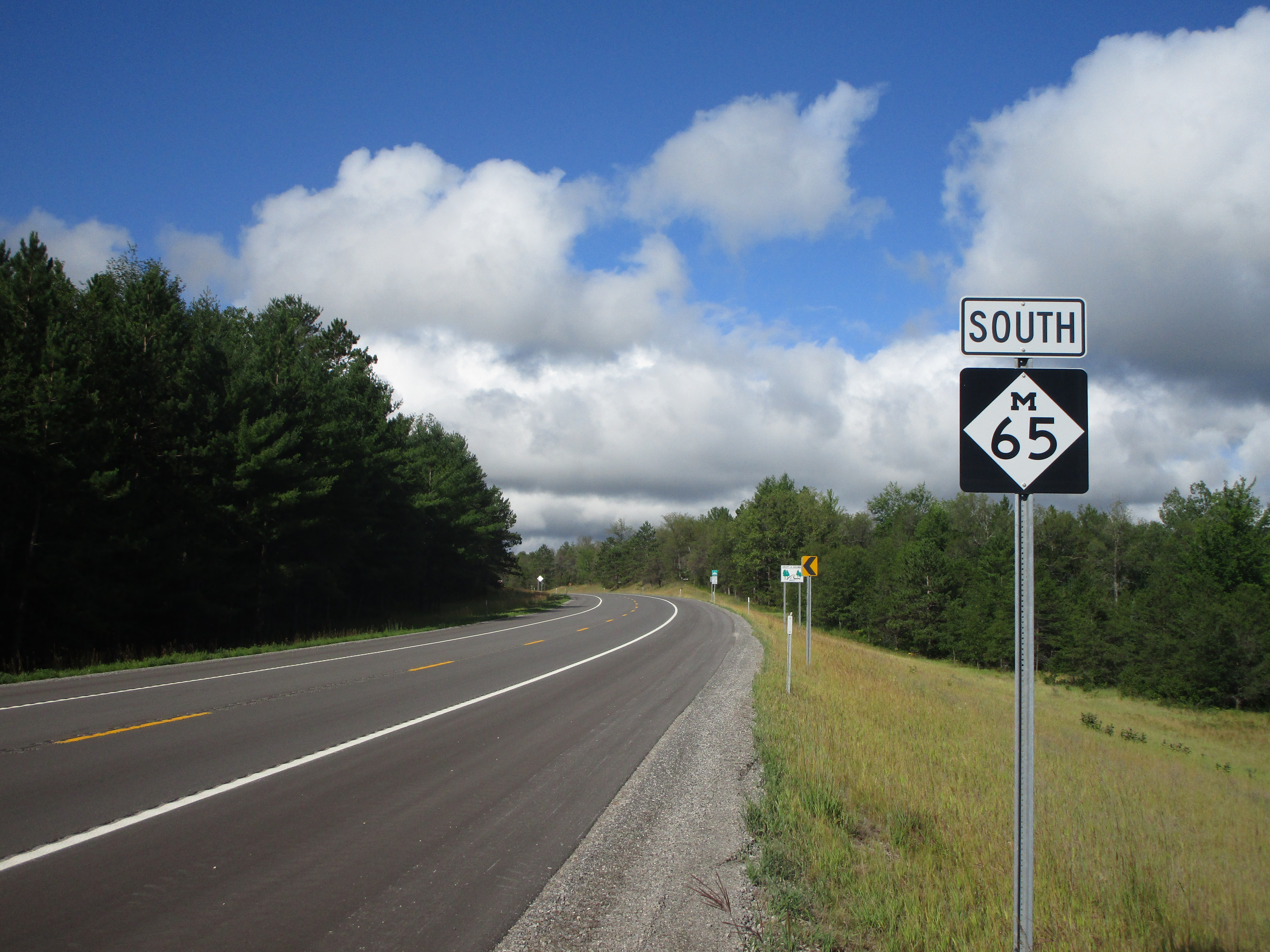
My photo of Michigan Highway 65 is a southbound reassurance marker, about 8 miles north of Curran and Michigan Highway 72. The photo was taken right at the county line between Alpena and Alcona Counties. This photo was taken at the very start of August, 2022, as I was driving home from Alpena. (That trip involved visits to the Keweenaw and Drummond Island at earlier stages.)
Here are a few more photos of Michigan Highway 65:
Here are a few more photos of Michigan Highway 65:
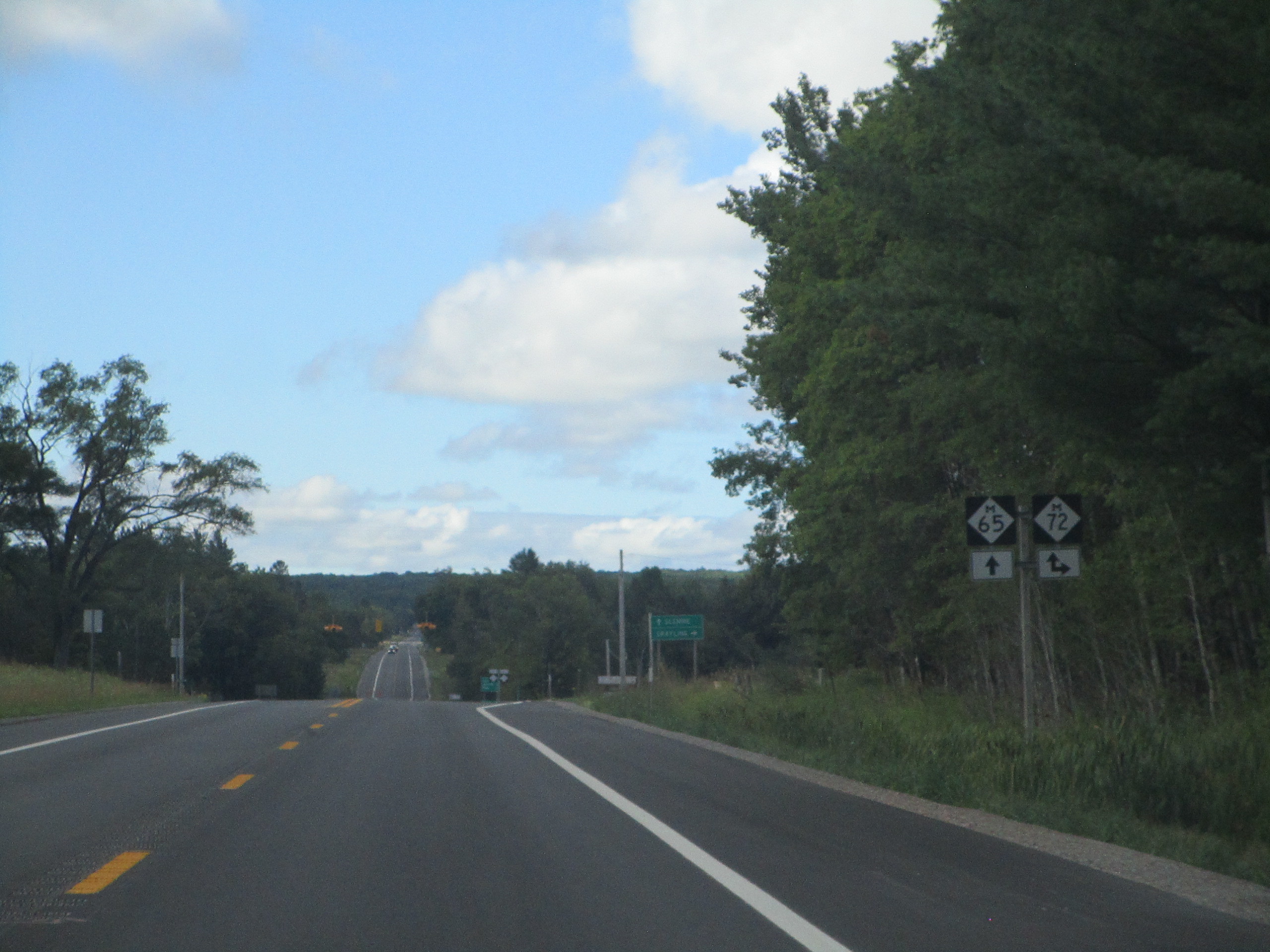
Michigan 65 heading south approaching the point where Michigan 72 joins from the west. This concurrency is a short one, and it's east of Mio.
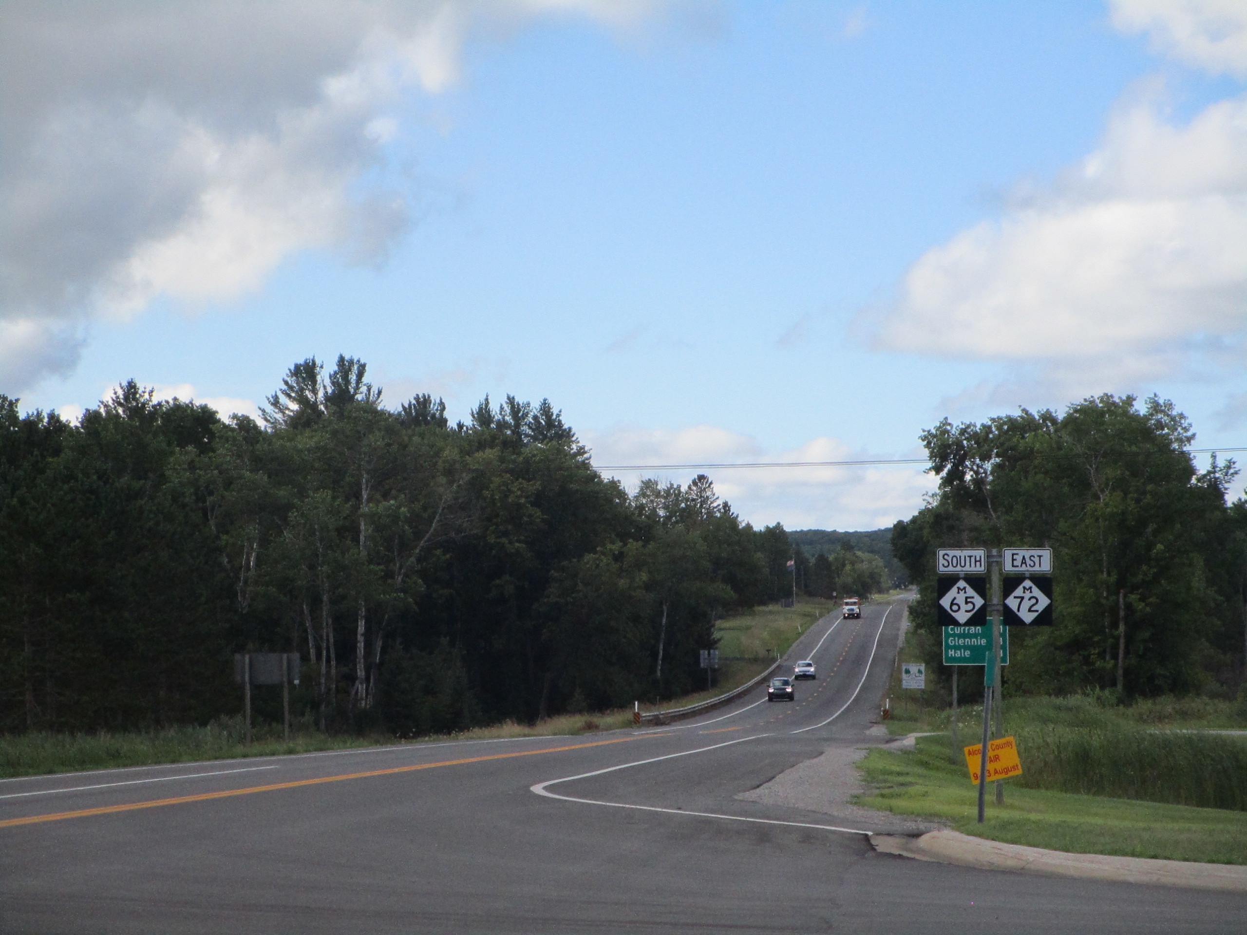
Michigan 65 comes from the south and joins Michigan 72 east.

The first northbound trailblazer seen by travelers leaving the southern end near Standish.
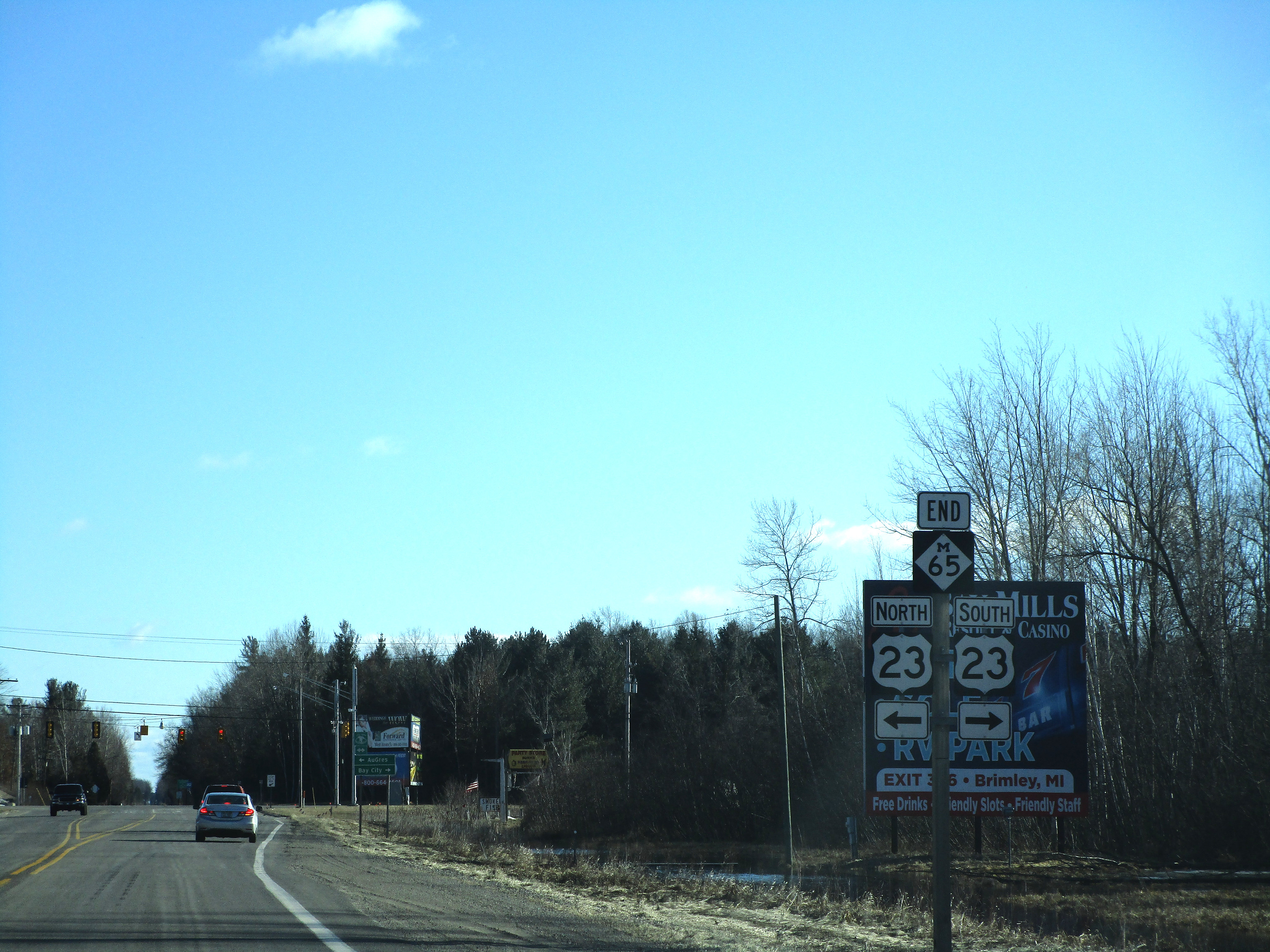
Michigan 65 reaches its southern end near Standish. Both ends of Michigan 65 are at US Route 23.
