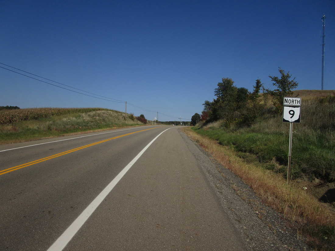
Ohio State Route 9 runs north-south as a rural highway in east-central Ohio. The highway connects Salem, Carrollton, St. Clairsville, and an area west of Powhatan Point where Ohio Route 148 runs. Ohio Route 9 begins as US Route 62 is heading southwest from Canfield to Salem; just before reaching Salem, US Route 62 diverts to the west onto a bypass, leaving Ohio Route 9 to continue southwest into Salem. Ohio Route 9 continues beyond Salem, south-southwesterly to Carrollton. After that, Ohio Route 9 winds through the hilly country past Jewett, Cadiz, and St. Clairsville. The last stretch south of St. Clairsville and Interstate 70 reaches about 13 miles beyond that town, to end unceremoniously at Ohio Route 148 west of Powhatan Point.
My photo of Ohio State Route 9 signage shows a northbound trailblazer at Ohio Route 171 north of Carrollton. Travelers on Ohio Route 9 will see this sign if they departed from the intersection with Ohio Route 171 toward the north. This photo was taken in October 2022 with most of the other photos from the northeastern quarter of the state. The trip I took that month landed me in Columbus, then Mount Vernon, then all over northeastern Ohio.
Back to Ohio Routes 1 through 99.
Back to the Ohio main page.
Back to the home page.
Back to Ohio Routes 1 through 99.
Back to the Ohio main page.
Back to the home page.

