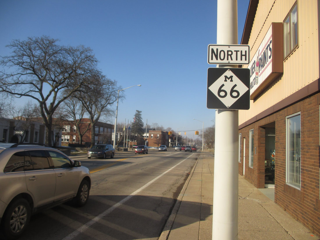
Michigan Highway 66 is a long north-south highway across the Lower Peninsula, about a third of the way to the east of its western extent. The southern end of Michigan Highway 66 occurs near Sturgis, Michigan, where Indiana Route 9 crosses the state border. From there, Michigan Highway 66 heads north through Sturgis itself, bound for Battle Creek. Interstate 194 is a freeway spur carrying Michigan Highway 66 north from Interstate 94 into downtown Battle Creek. Michigan Highway 66's journey is far from over though, but it only serves smaller towns north of here. The state highway serves Nashville, Ionia, Stanton, and Lake City, before joining US Route 131 north at Kalkaska. At Mancelona, Michigan Highway 66 enters its final stretch, along a curvier road through East Jordan. The northern end of this segment, and all of Michigan Highway 66, is at US Route 31 in Charlevoix.
My photo of Michigan Highway 66 shows a northbound reassurance marker in Sturgis, for travelers leaving the intersection with US Route 12. I was looking north, photographing this sign, which faces south. A short day trip mainly focused on Indiana gave me the opportunity to take this photo in February 2019.
Here are some more photos I took along Michigan Highway 66:
Here are some more photos I took along Michigan Highway 66:
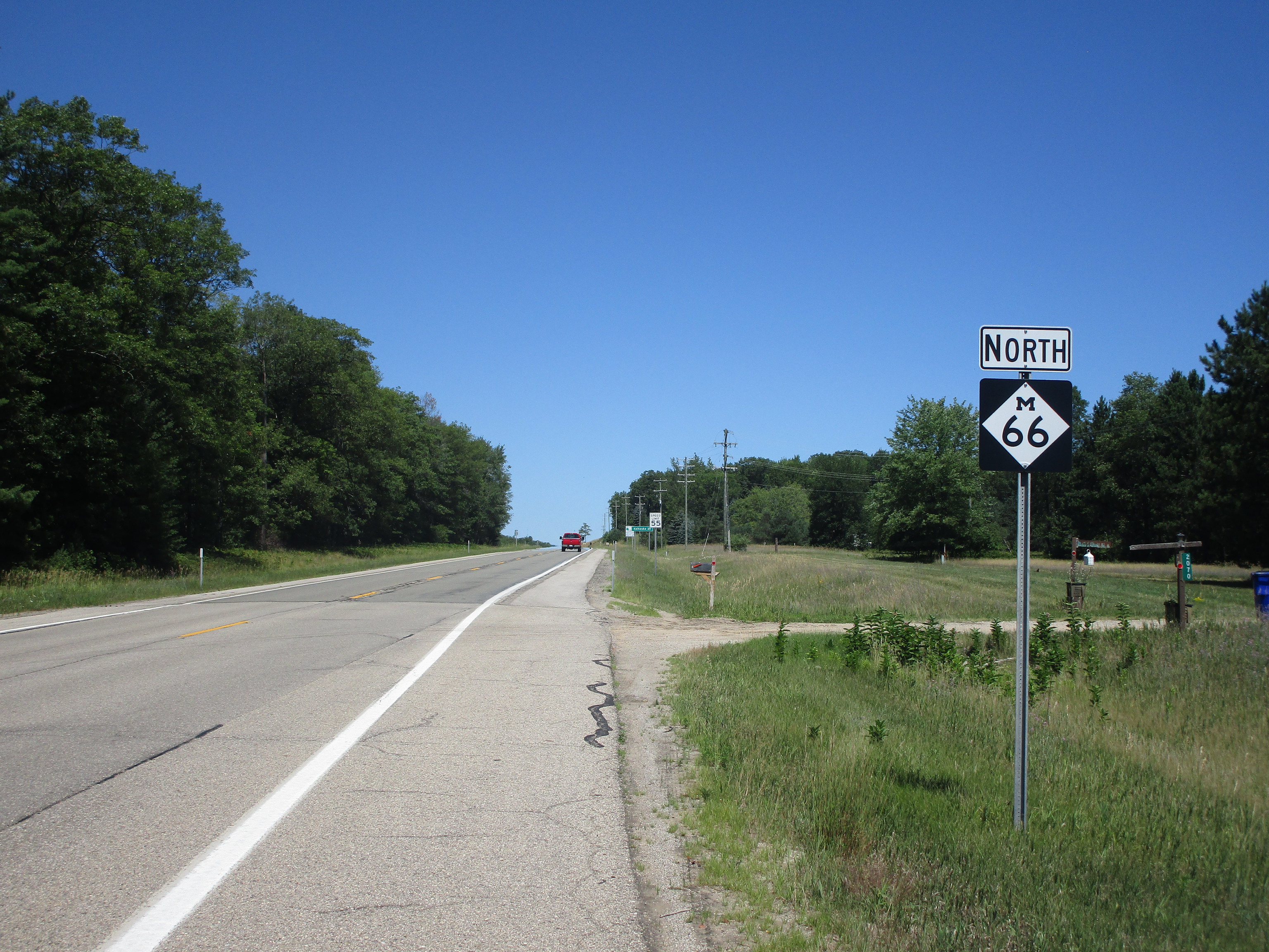
Michigan 66 continues north past the junction with Michigan 42, just north of Lake City.
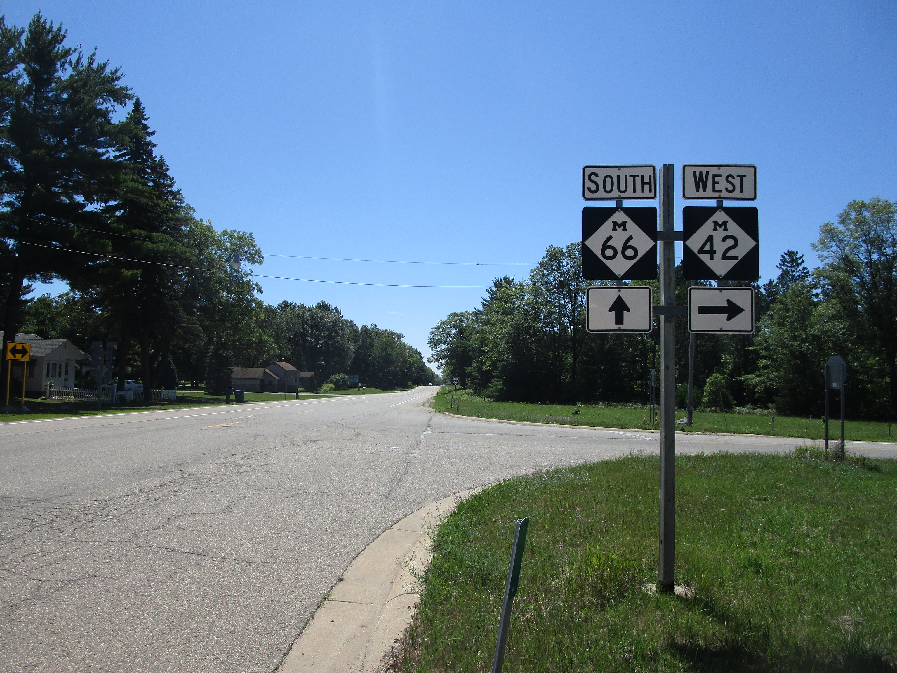
This photo looks south from the same spot as the previous photo, at the junction of Michigan Highways 42 and 66 north of Lake City.

Michigan 66 crosses Michigan 50 east of Lake Odessa, but Michigan 43 jumps from one route to the other.
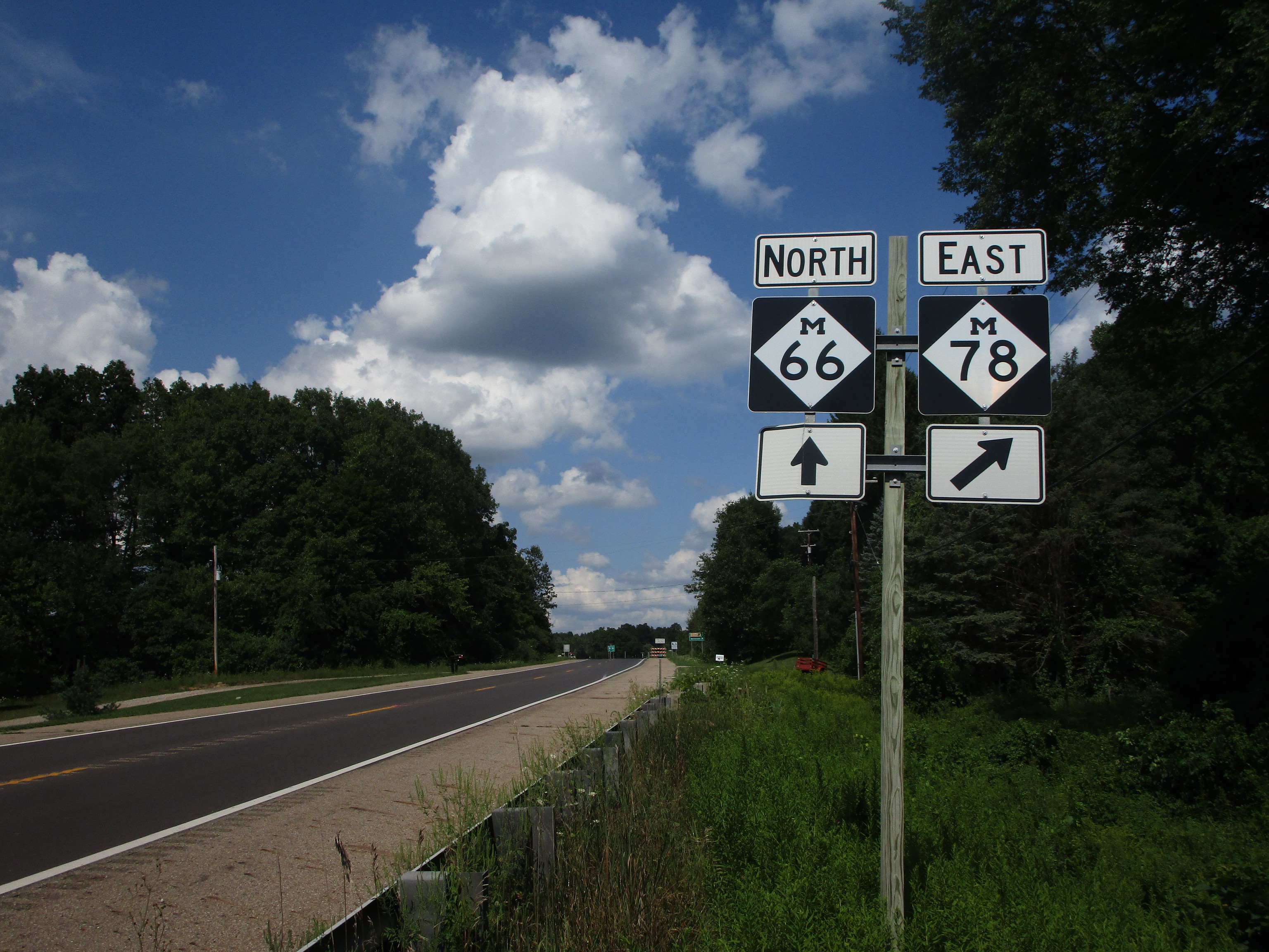
Michigan 66 meets the western end of Michigan 78, north of Battle Creek.
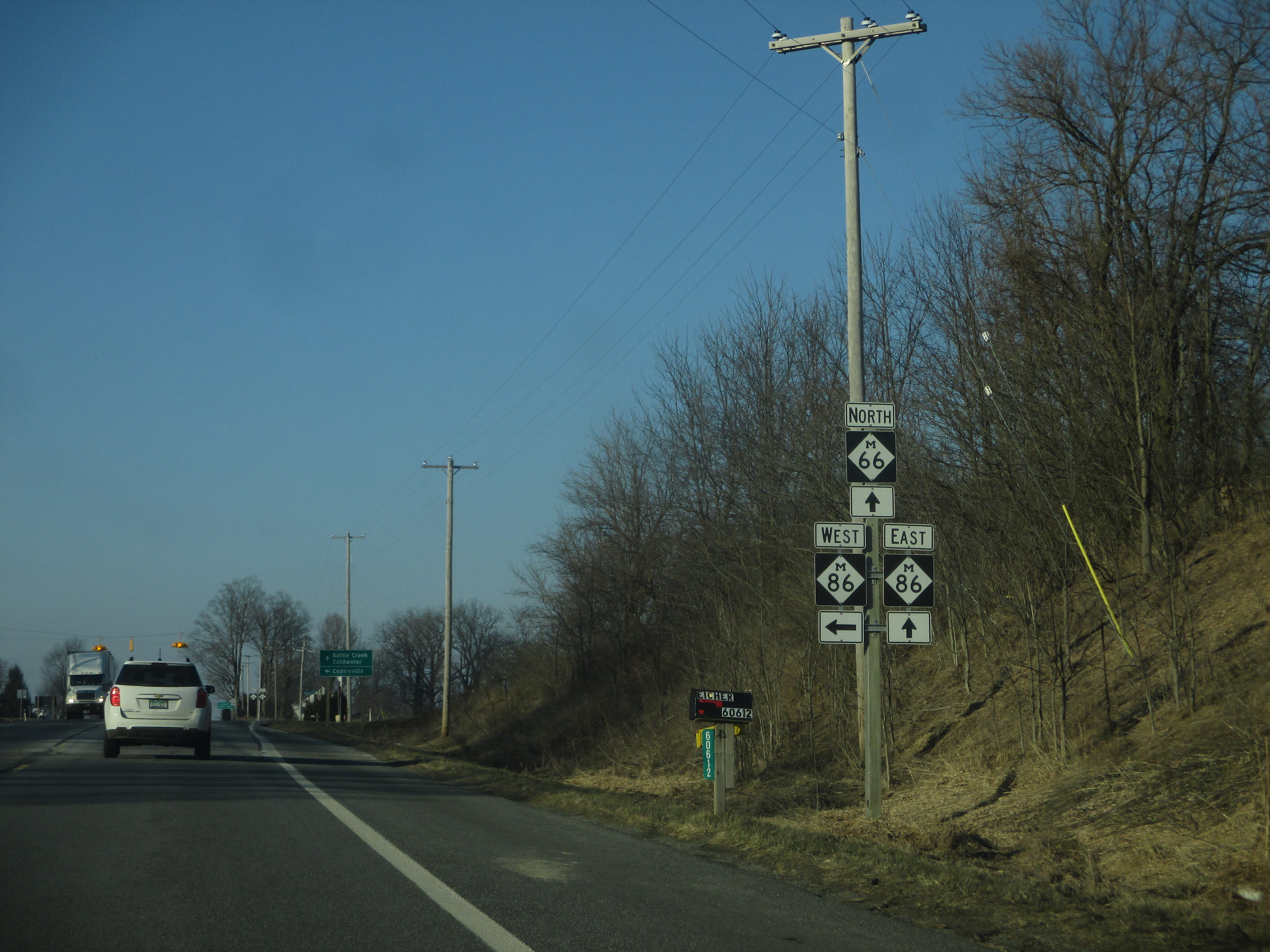
Michigan 66 has a short concurrency with Michigan 86 west of Colon; this is looking north at the north end of that concurrency.
