^Looking north from US Route 52 and Indiana Route 18 in Fowler, August 2024.
Indiana State Route 55 runs north-south in northwestern and west-central Indiana. It begins on the southern end of Gary at Business US Route 6, continuing through mainly rural areas all the way to Attica. Then, Indiana Route 55 cuts southeasterly for a little longer, ending at Indiana Route 25 in Wingate, a tiny town in western Montgomery County.
A previous photo served as the focal point for this page, and as the source for the shield image that appears on the Indiana menu page. A new photo, shown next, replaces that previous photo, but the older photo is still visible at the bottom of this page.
My photo for Indiana Route 55 shows a guide marker in downtown Fowler, Indiana. We are looking east at the point, a fraction of a block east of US Route 52, where Indiana Route 55 turns northward on the road it will take out of Fowler. Behind me was the road carrying Indiana Route 18 west away from US Route 52 and Indiana Route 55. This photo was taken on the way home from Cincinnati in August 2024.
Another photo once took center stage on this page; that older photo is shown below.
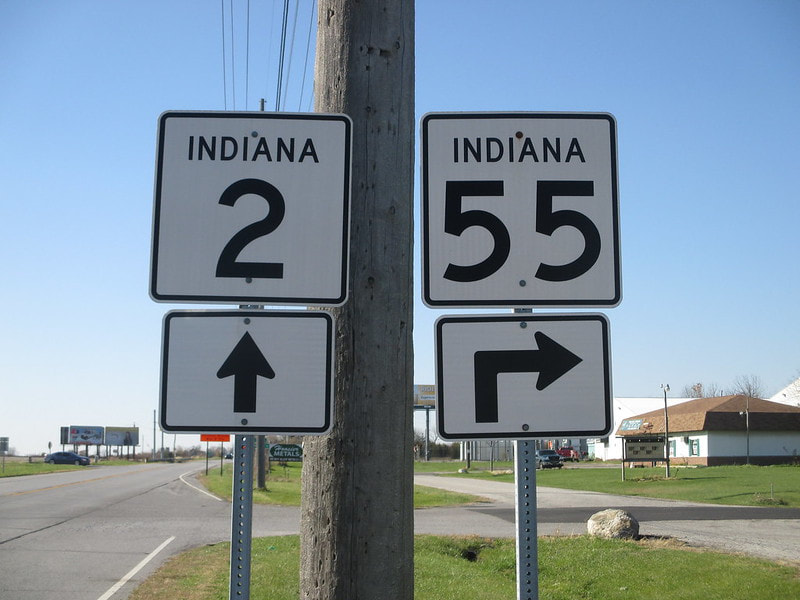
My older photo for Indiana State Route 55 is along its concurrency with Indiana Route 2 west, approaching the split where Indiana Route 55 turns back northerly on its own. This is just east of Lowell. I took this picture in November 2015.