Michigan Highway 29 is a highway hugging the eastern edge of Michigan between Metro Detroit and Port Huron. Its overall pathing heads east, south, east, and north, with the final northern stretch along the St. Clair River having the greatest length. The initial moves easterly and southerly follow alongside the northeast shore of Anchor Bay, the northernmost extent of Lake St. Clair. The rest of the route follows along the St. Clair River. The southwestern end of Michigan Highway 29 is an interchange with Interstate 94 at Chesterfield; the road continues westerly to form the northeastern beginning of Michigan Highway 3. From its inception here, Michigan Highway 29 heads east through New Baltimore, then south and east to Algonac. Just west of Algonac is the ferry terminal marking the northern end of Michigan Highway 154; this highway designation and ferry boat provide a connection to Harsens Island. Algonac is the southeastern corner of Michigan Highway 29; the road continues north along the St. Clair River for the remainder of its route. After passing through Marine City, St. Clair, and Marysville, Michigan, Highway 29 ends approaching Port Huron. As Interstate 94 approaches the Port Huron area from the southwest, it sends a Business Loop east to turn north onto the roadway Michigan Highway 29 was using. The Business Loop of Interstate 94 cuts off Michigan Highway 29 where Marysville meets Port Huron, and the state highway is made to end here.
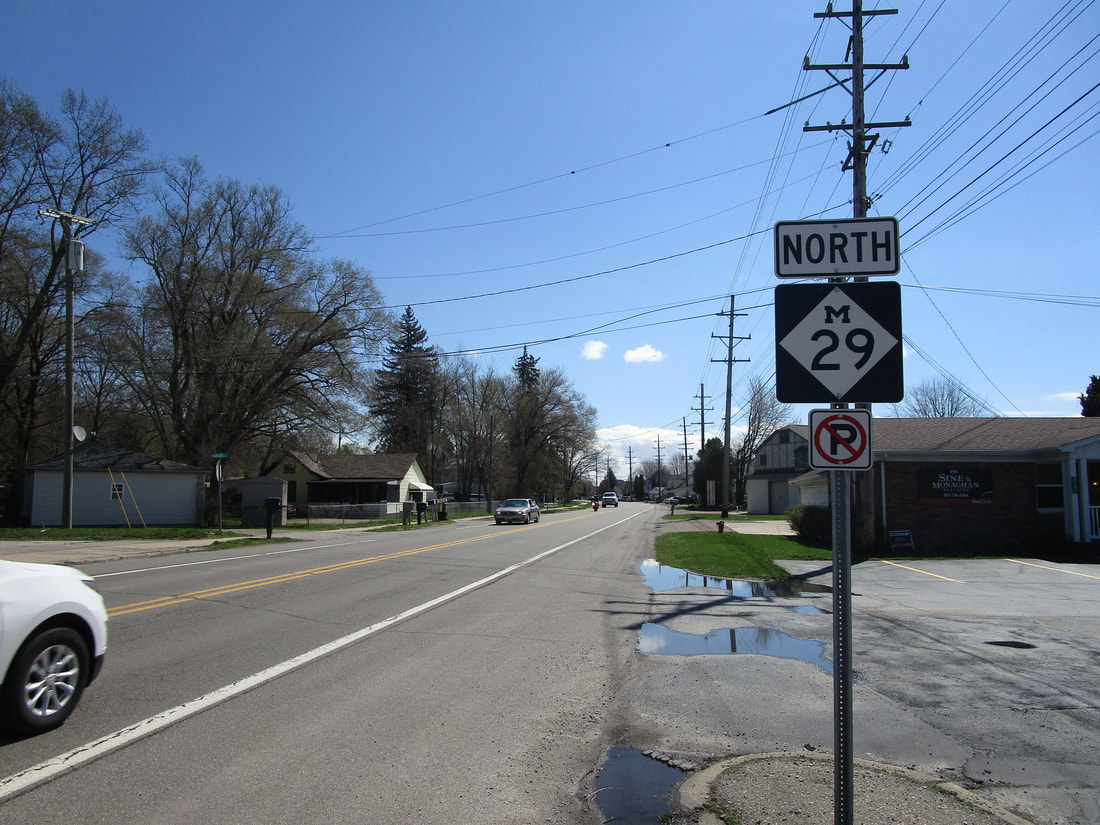
My photo for Michigan Highway 29 shows an eastbound reassurance marker near Island Drive in Algonac, Michigan. The ferry terminal to Michigan Highway 154 and Harsens Island is about another half mile eastward into the photo. All of Michigan Highway 29 is signed as a north-south route; while this is definitely appropriate for the portion of the route between Algonac and Port Huron, the efficacy of the directional banners is questionable elsewhere. But drivers on this portion of Michigan Highway 29 definitely know that they'll eventually be heading north to Port Huron if they continue in this direction, and that's a plus! This photo was taken during the April 2021 trip to Metro Detroit and Michigan's Thumb (Michigan Highway 29 is right between these two areas!).
Here are a few more photos from Michigan Highway 29:
Here are a few more photos from Michigan Highway 29:

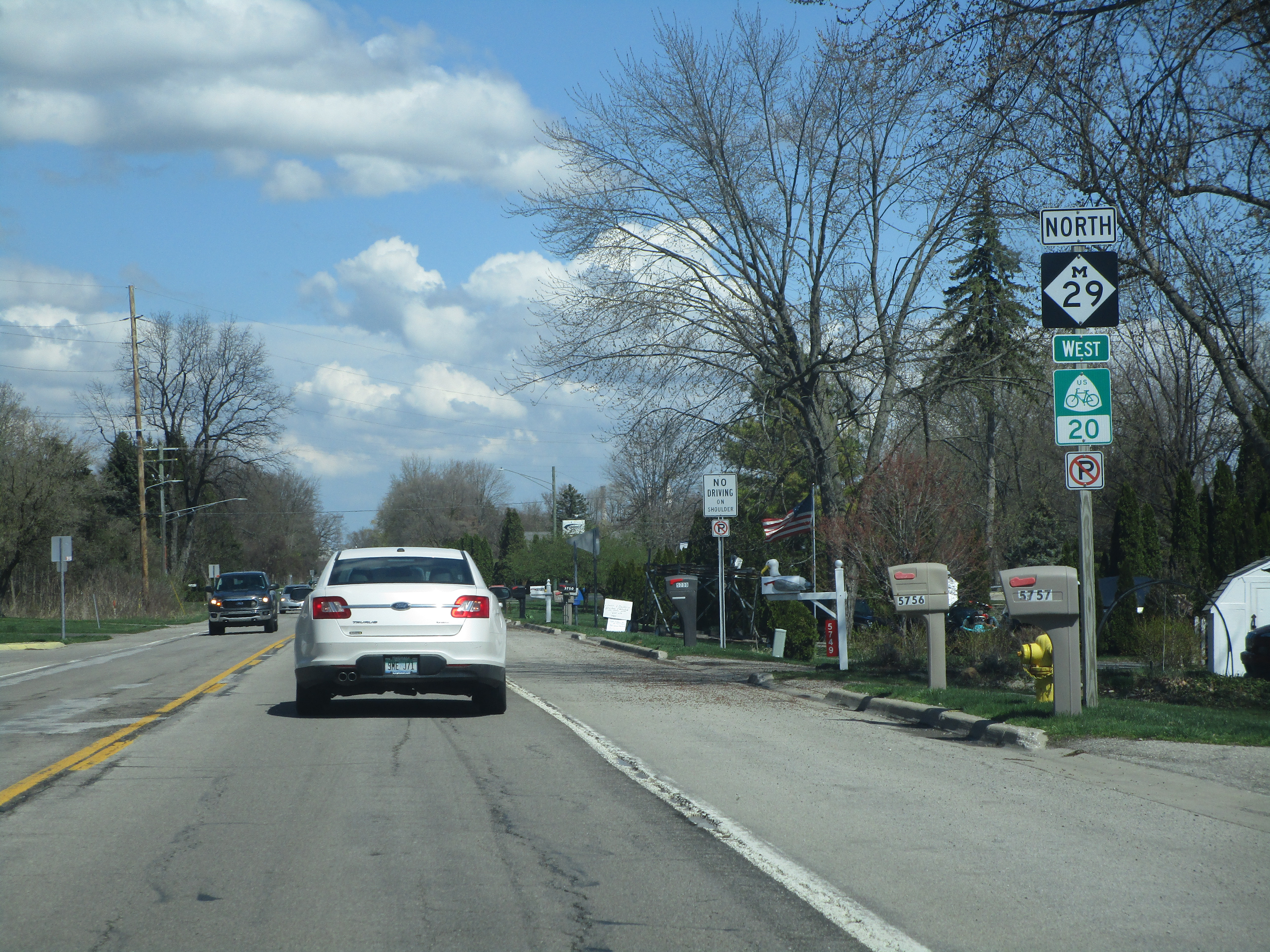
Michigan Highway 29 shares pavement with National Bicycle Route 20. This is just east of New Baltimore, MI.

Michigan Highway 29 making a turn in Marine City.

