Ohio State Route 16 runs east-northeast out of downtown Columbus to end in Coshocton. All of Ohio Route 16 is in central Ohio. While the eastern half of the highway is mostly an expressway, the western half is a surface street, specifically the one called Broad Street in Columbus. The eastern end bends northerly to US Route 36 in Coshocton. From there, Ohio Route 16 uses a road south through town, eventually curving westerly onto an expressway. The expressway is the main highway serving Newark, Ohio. At Granville, this expressway becomes Ohio Route 161, and Ohio Route 16 is relegated to exiting the expressway to continue west-southwesterly. At this stage, the route passes through Pataskala into the Columbus area. At Bexley, US Route 40 joins Ohio Route 16 west for the rest of the state highway's length. One might wonder why Ohio Route 16 doesn't just end here at Bexley; instead, it follows US Route 40 and Broad Street to the banks of the Scioto River. The end of Ohio Route 16 occurs not at a route, but at Marconi Boulevard and the Discovery Bridge, over the aforementioned Scioto River.
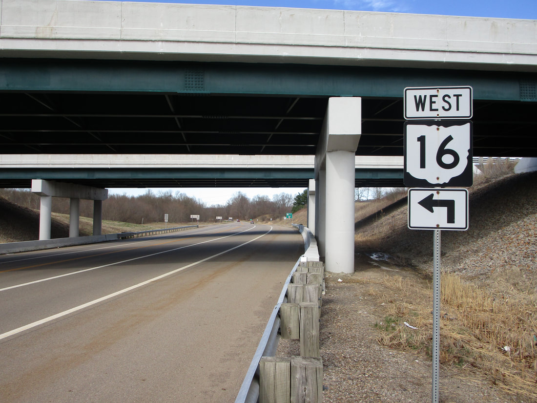
My photo of Ohio State Route 16 signage comes from Ohio Route 60 just north of Dresden. Ohio Route 60 runs north-south through this diamond interchange with Ohio Route 16, and the signage depicted faces south for northbound traffic looking for the left turn onto Ohio Route 16 westbound. That onramp lies just beyond the underpass. This photo was taken looking toward the north in March 2021, as I was wrapping up my tour of southeastern Ohio.
Back to Ohio Routes 1 through 99.
Back to the Ohio main page.
Back to the home page.
Back to Ohio Routes 1 through 99.
Back to the Ohio main page.
Back to the home page.

