Ohio State Route 86 is a southeasterly route out of Painesville, instated to connect that town to points in southern Ashtabula County, like the village of Orwell. The northwestern end in Painesville occurs at US Route 20, just a couple of blocks east of Ohio Route 283. It gets tangled up with Ohio Route 84 for a bit, but it eventually wrenches itself away from Ohio Route 84 to continue southeast under Interstate 90 (with no interchange). Ohio Route 86 spends a little more than 20 miles winding southeasterly until it reaches the southwestern part of Ashtabula County (the rest of the route has been in Lake County and northeastern Geauga County). Ohio Route 86 ends in southwestern Ashtabula County, at Ohio Route 534, just north of US Route 322. The traffic meeting the end of Ohio Route 86 mostly uses US Route 322 east toward Orwell or Ohio Route 534 south toward Newton Falls.
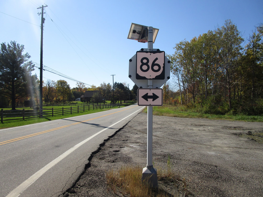
My photo of Ohio State Route 86 signage comes from its four-way junction with Ohio Route 166 in northeastern Geauga County. Westbound travelers on Ohio Route 166 will see this guide marker on the back of a secondary stop sign (which isn't an MUTCD-approved place to put a guide marker), so they are able to locate the turn onto Ohio Route 86. Like all of my other northeastern Ohio photos, this photo was taken during the grand tour of northeastern Ohio in October 2022.
Back to Ohio Routes 1-99.
Back to the Ohio main page.
Back to the home page.
Back to Ohio Routes 1-99.
Back to the Ohio main page.
Back to the home page.
