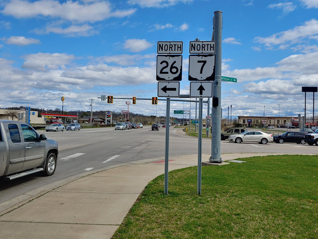
Ohio State Route 26 is a twisting, turning, route running northeast from Marietta into the wooded hills of Monroe and Belmont Counties. Ohio Route 26 begins at Ohio Route 7, just west of Interstate 77, and just north of the Ohio River. From this point in Marietta, Ohio Route 26 heads northeast into the backcountry of eastern Washington County. The route sort of parallels Ohio Route 7 and the Ohio River, about ten to twenty miles northwest of the river, as it continues into Monroe County and western Belmont County. The northern end of Ohio Route 26 is at Ohio Route 148, west of the southern end of Ohio Route 9. One might wonder if Ohio Route 9 and Ohio Route 26 should be the same route. This northern endpoint is southeast of Barnesville and west of Powhatan Point.
My photo of Ohio State Route 26 signage comes from the southwestern endpoint at Ohio Route 7 in Marietta. You can see signage for the Interstate 77 interchange just to the east, in the background of the photo. The aperture looks east at signage showing travelers on Ohio Route 7 where to turn, if their goal is to reach the beginning of Ohio Route 26. This photo was taken in March 2021 during the grand tour of the southeastern quarter of Ohio.
Back to Ohio Routes 1 through 99.
Back to the Ohio main page.
Back to the home page.
Back to Ohio Routes 1 through 99.
Back to the Ohio main page.
Back to the home page.

