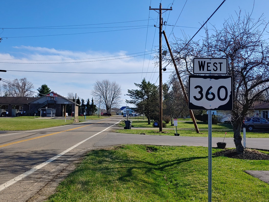
Ohio State Route 360, like many Ohio State Highways in the 360's, is a short route serving a lake. Ohio Route 360 is a southerly loop route intended to serve the northern bank of Buckeye Lake. In fact, it runs along a road known as North Bank Road. Both ends of Ohio Route 360 are at an east-west portion of Ohio Route 79, on the western outskirts of the town of Buckeye Lake. The county line of Licking and Fairfield Counties runs along Ohio Route 79, and the northwestern end of Ohio Route 360's flattened "U" shape" occurs at the county line. The eastern end of Ohio Route 360 pokes a bit farther north, entering Licking County to meet anOhio Route 79 that has curved a bit toward the northeast.
My photo of Ohio Route 360 comes from the eastern end of the route. The aperture looks south at the first trailblazer. Those turning off of Ohio Route 79 toward the south, at the east end of Ohio Route 360, will see the scene in the picture. This photo was taken at the tail end of my drive around the southeastern quarter of Ohio, in March 2021.
Back to Ohio Routes 300-499.
Back to the Ohio main page.
Back to the home page.
Back to Ohio Routes 300-499.
Back to the Ohio main page.
Back to the home page.

