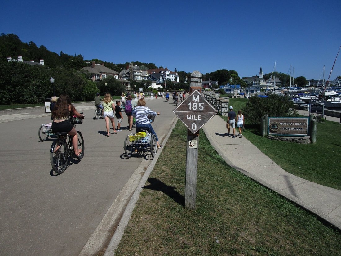
Michigan Highway 185 is the state-maintained circuitous path along the entire circumference of Mackinac Island, whose use is limited only to pedestrians and bicyclists! No automobiles are allowed on Mackinac Island (except emergency vehicles), meaning that this "highway" only allows people who walk or use bikes! Michigan Highway 185 has close to eight miles of length, and the mile markers along the route help visitors and residents identify locations. The "zero" mile marker occurs just east of the ferry dock, at the southern end of Mackinac Island. I guess that would identify the start and end of this cyclical route. The main town of Mackinac Island is at the southern end of the island, with most of the hubbub occurring west of "mile zero". The waters of Lake Huron are right alongside Michigan Highway 185 for its entire length (except at some points in the town where the buildings block your view), so the entire circuitous path is a scenic bike ride with views of the water!
No sheet metal signs of Michigan Highway 185 exist, so my photo for Michigan Highway 185 is the "zero" mile marker, chosen because it's the only diamond-shaped sign showing the highway number. As stated above, this "zero" mile marker occurs at the south end of the island, just east of the ferry dock and the most built-up section of town. This photo was taken during a trip to the Upper Peninsula, Mackinac Island (pictured), and Traverse City in August 2020.
Back to the Michigan main page.
Back to the home page.
Back to the Michigan main page.
Back to the home page.

