Ohio State Route 265 is an east-west route, mostly in southeastern Guernsey County. It begins at US Route 40, about two miles east of Interstate 77 and the city of Cambridge. Ohio Route 265 starts out facing south, but it soon bends into the east-southeasterly course that dominates the rest of the route. Ohio Route 265 goes on to serve Lore City, where it crosses Ohio Route 285. It later meets the northern end of Ohio Route 761 at Salesville. Next, Ohio Route 265 crosses Ohio Route 513 in Quaker City. Next, Ohio Route 265 sets out for Barnesville, but it is intercepted by Ohio Route 147 before it can get there. Ohio Route 265 thus ends at Ohio Route 147, which carries travelers the rest of the way to Barnesville.
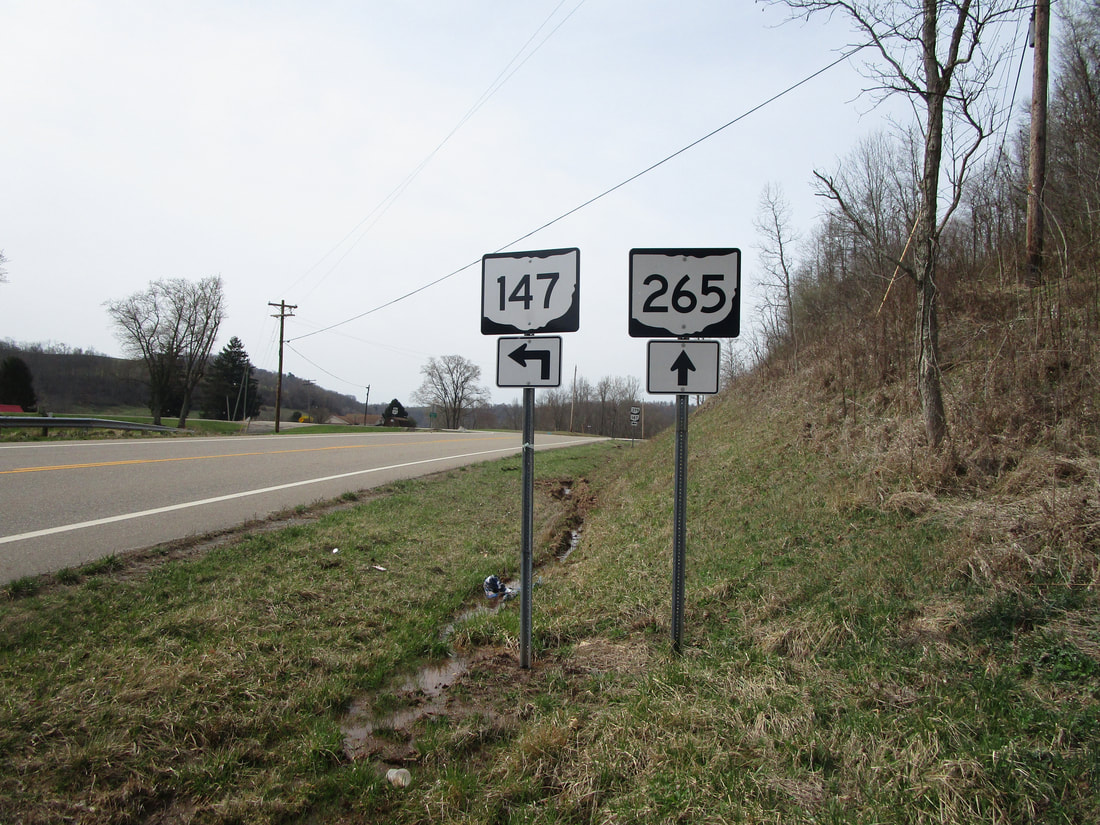
My photo for Ohio State Route 265 comes from the east end at Ohio Route 147, southwest of Barnesville. This is at the unincorporated place named Baileys Mills, near the point where Guernsey, Noble, and Belmont Counties all come together (triple point). As Ohio Route 147 heads west from Barnesville, it encounters an intersection where Ohio Route 265 takes over as the westward route. Ohio Route 147 turns toward the south, as indicated by the signage shown here. The aperture looks west, and so do the drivers making use of the signage. This photo was taken in March 2021, during the tour around the southeastern quarter of Ohio.
Back to Ohio Routes 200-299.
Back to the Ohio main page.
Back to the home page.
Back to Ohio Routes 200-299.
Back to the Ohio main page.
Back to the home page.
