Michigan Highway 24 is a north-south highway from the Pontiac area north to the Michigan Thumb. The Thumb is formed by the "mitten" shape of the Lower Peninsula of Michigan. The route looks like it serves as a northern extension of US Route 24, whose northern end is Pontiac. A lot of state highways extending beyond a US highway with the same number will indicate that the state highway is a remnant of a former additional portion of the US highway; however, I don't see any evidence of US Route 24 continuing north of the Pontiac. There are just two north-south routes in Michigan with the same number having endpoints in the same little area. The northern end of Michigan Highway 24 is just southeast of Saginaw Bay, at the west end of the Thumb's northern edge. The tiny town of Unionville is home to this northern end at Michigan Highway 25. The southern end is at exit 81 from Interstate 75 in Auburn Hills, a municipality that sort of serves as an eastern suburb of Pontiac. The roadway continues south to assume the new identity of Business Loop I-75 through Pontiac.
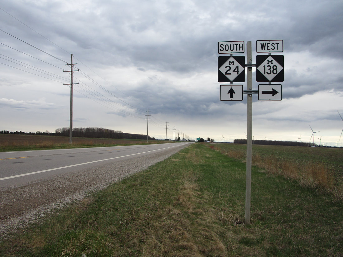
My photo of Michigan Highway 24 comes from its second-most northerly junction with another state highway, at Michigan Highway 138. The intersection indicated by the signage is just east of Akron. I took this photo of these guide markers looking south, as the guide markers are facing north for southbound traffic. The photo comes from the April 2021 trip to the Thumb and Metro Detroit.
Here are a few more photos from Michigan Highway 24:
Here are a few more photos from Michigan Highway 24:

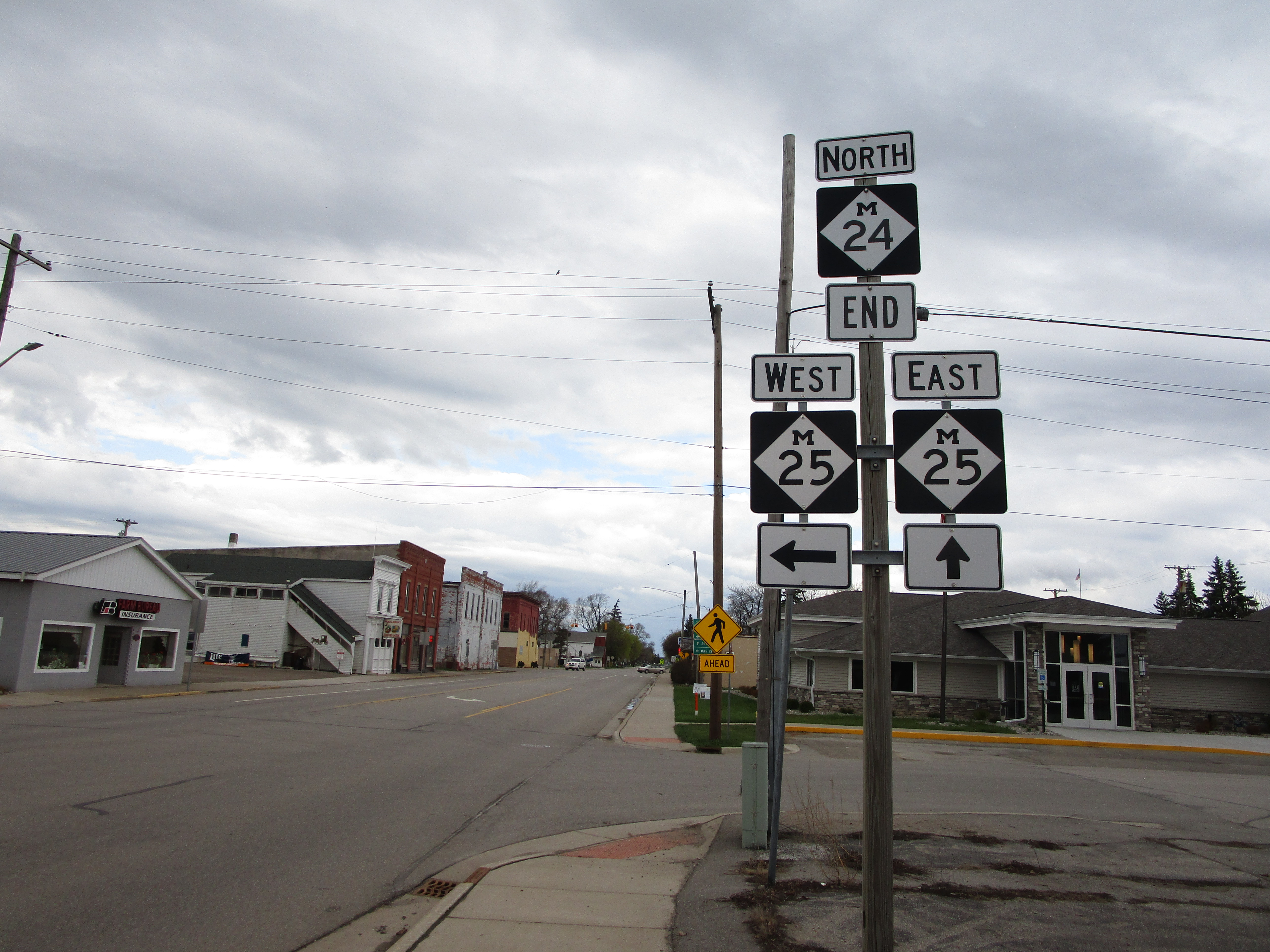
The northern end marker for Michigan Highway 24 at Michigan Highway 25, in the western areas of Michigan's "Thumb".

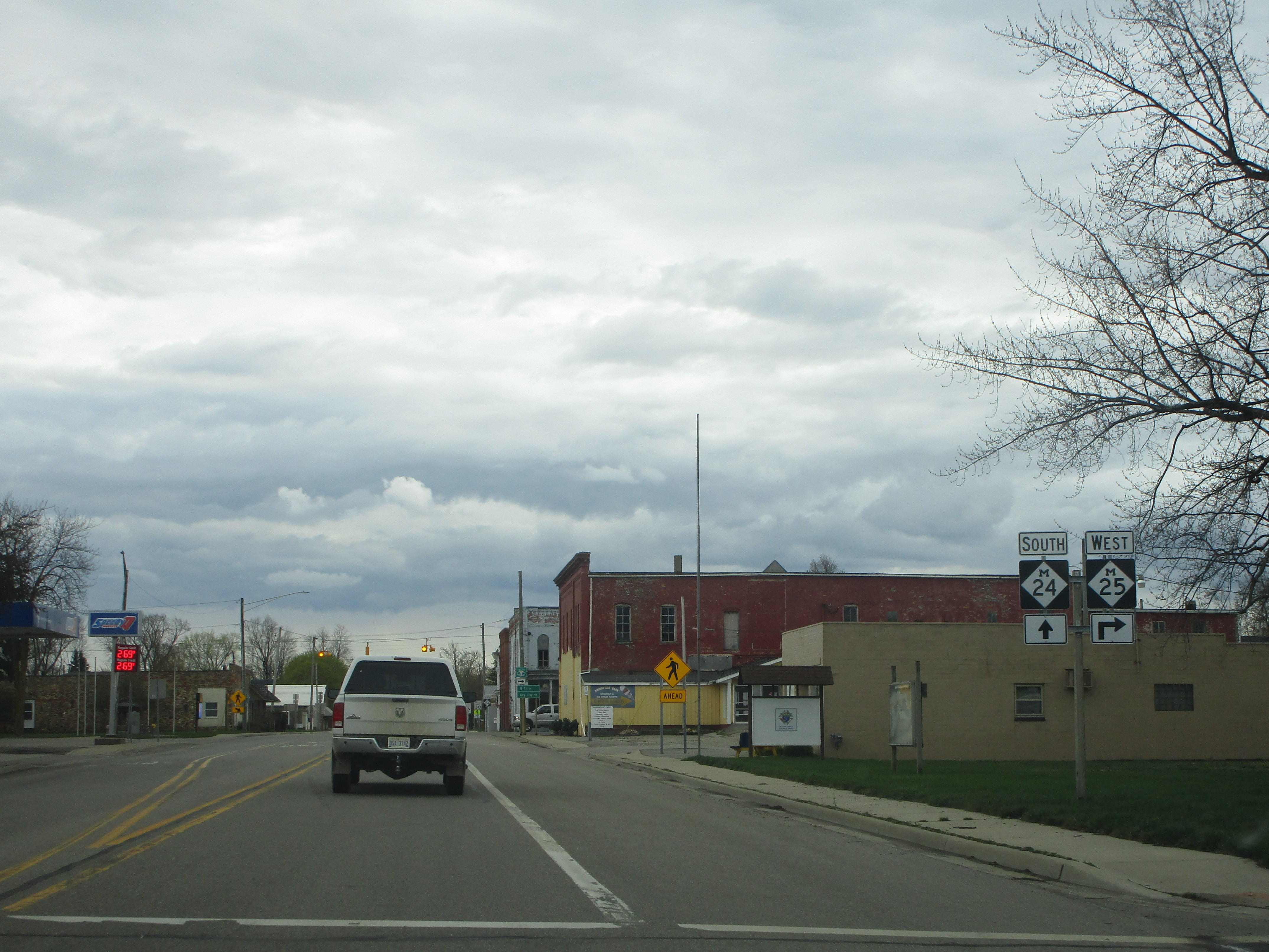
The northern end Michigan Highway 24 as viewed from the north along Highway 25.

