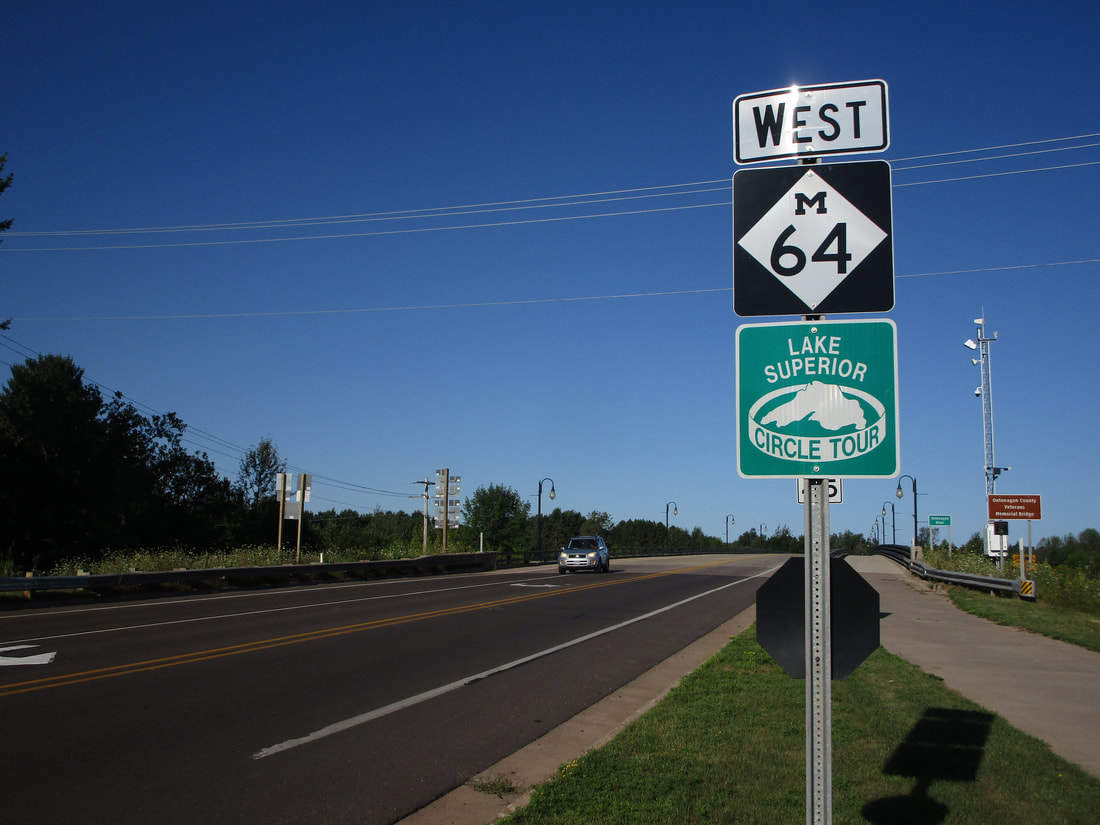
Michigan Highway 64, which runs across the western Upper Peninsula is a north-south highway with an eastern appendage continuing from the northern end. The southern end is a point at the Wisconsin state border near the tiny town of Presque Isle, Wisconsin, where the roadway continues south as County Highway B. From here, Michigan Highway 64 goes north through Marensico to follow the western shore of Lake Gogebic. At Bergland, Michigan Highway 64 joins Michigan Highway 28 for a bit before continuing northward. At the tiny hamlet of Silver City along the southern shore of Lake Superior, Michigan Highway 64 turns easterly (it certainly wasn't going to continue north into the lake!). The road continuing west along the lakeshore is the entrance to Porcupine Mountains State Park (it was marked as Michigan Highway 107 until about 15 years ago). The final section of Michigan Highway 64 runs east from Silver City to Ontonagon, along the southern shore of Lake Superior. Michigan Highway 64 ends at US Route 45, but the roadway continues east as the beginning of Michigan Highway 38.
My photo of Michigan Highway 64 comes from the start of the highway in Ontonagon. Travelers will see this sign as they start out on Michigan Highway 64, once they turn off of US Route 45 or continue straight from Michigan Highway 38. Though most of Michigan Highway 64 is signed as north or south, this northern segment along Lake Superior is signed as east-west. This photo was taken during a trip to the Upper Peninsula in August 2020.
Back to the Michigan main page.
Back to the home page.
Back to the Michigan main page.
Back to the home page.

