Iowa Route 4 runs north-south in the northern half of Iowa, along a longitude roughly fifty miles west of Interstate 35. North of Estherville, Iowa Route 4 becomes Minnesota Route 4 as it crosses into Minnesota, at a point along the state border home to Iowa Route 4's northern terminus. At the other end, the southern terminus of Iowa Route 4 is at Iowa Route 44 in Panora, about 40 miles west-northwest of Des Moines. Iowa Route 4 only connects small towns; some of these towns are Estherville, Emmetsburg, Pocahontas, Pomeroy, and Jefferson.
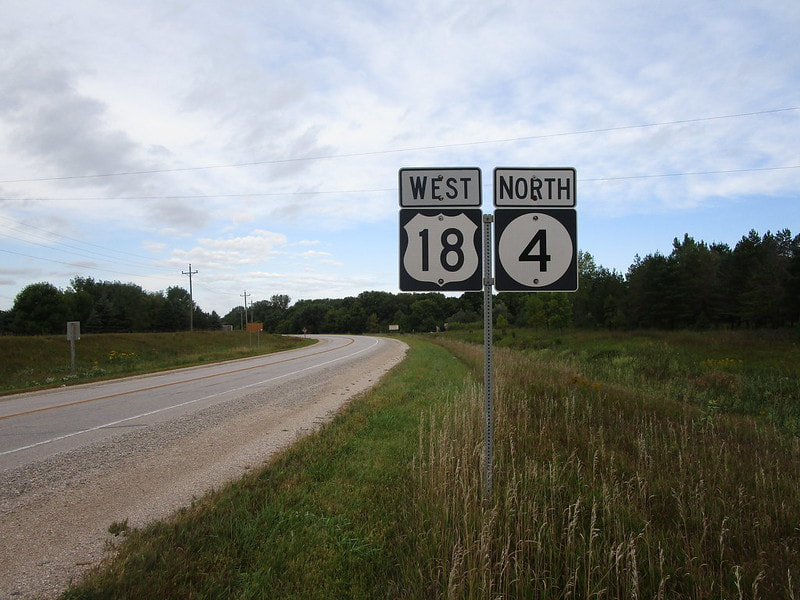
My photo for Iowa Route 4 comes from a spot along its concurrency with US Route 18. Traffic seeing this westbound reassurance marker is leaving Emmetsburg heading west out of town. The photo you see here was taken in September 2019 as part of the northern Iowa trip.
Back to the Iowa main page.
Back to the home page.
Back to the Iowa main page.
Back to the home page.
