Ohio State Route 219 runs east-west in Mercer and Auglaize Counties, in west-central Ohio. The western end is at the Indiana state line, north of Fort Recovery; the roadway does not continue farther west as any numbered highway. Ohio Route 219 starts out by heading eastward through Coldwater and Montezuma. It follows the south side of Lake St. Marys. Then, it passes through New Knoxville to the former alignment of US Route 25 (or the surface route that got replaced by Interstate 75). Ohio Route 219 hops on the old US Route 25 toward the south to poke into Shelby County and serve the town of Botkins. In Botkins, Ohio Route 219 turns east for a fraction of a mile to end at Interstate 75.
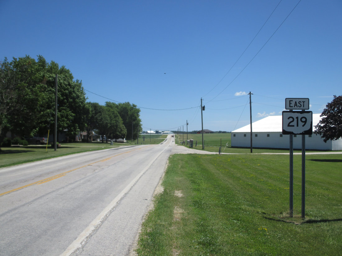
My photo for Ohio State Route 219 comes from the western terminus, at the Indiana state line. The signage depicted is the first eastbound trailblazer. This photo was taken on the way home from Columbus in June 2016; I took a convoluted route home to maximize sign photo potential.
Back to Ohio Routes 200-299.
Back to the Ohio main page.
Back to the home page.
Back to Ohio Routes 200-299.
Back to the Ohio main page.
Back to the home page.
