Michigan Highway 75, not to be confused with Interstate 75, is a C-shaped alternate route for accessing Boyne City from the northeast and from the southeast. Both ends of Michigan Highway 75 occur at US Route 131, so Michigan Highway 75 almost serves as a business alignment of US Route 131 through Boyne City. The northern end is at Walloon Lake, and the southern end is at Boyne Falls. The numbering of this highway irritates me, as it's rather close to Interstate 75, which has the name number.
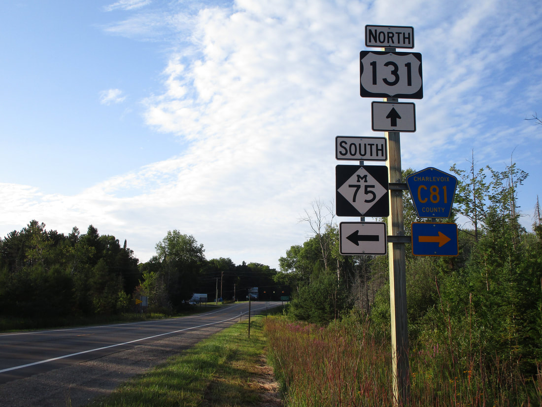
My photo of a Michigan Highway 75 marker comes from its northern endpoint at Walloon Lake. The signage shown faces south along US Route 131 for the northbound traffic on that route. Most people heading north on US Route 131 would opt for a left turn onto the southern end of Michigan Highway 75, but this signage is in place for those who want to turn southwesterly toward Boyne City. This photo was taken in August 2020 along a trip to the Porcupine Mountains, Pictured Rocks, Mackinac Island, and Traverse City (I was between the last two destinations when taking this photo).
Back to the Michigan main page.
Back to the home page.
Back to the Michigan main page.
Back to the home page.
