Ohio State Route 44 is one of a series of fairly straight north-south highways in northeastern Ohio. Ohio Routes 44, 45, and 46, are north-south routes arranged from east to west in northeastern Ohio; of these, Ohio Route 44 is the westernmost. The southern end splits from Ohio Route 43 in Waynesburg, a town southeast of Canton. Ohio Route 44 heads northerly from there, serving East Canton and Louisville in eastern Stark County. Beyond that, Ohio Route 44 straightens out and heads northerly through farm country to Ravenna. It bypasses downtown Ravenna to the east, and resumes its northerly course to Chardon. In Chardon, Ohio Route 44 jogs west on US Route 6 to a new course with a slight northwesterly tilt. A terminal stack interchange appears as Ohio Route 44 reaches Ohio Route 2 near Painesville, but Ohio Route 44 isn't quite done yet. It jogs westerly along Ohio Route 2 for a very short distance to a northerly road serving Headlands Beach State Park. Ohio Route 44 dead-ends at the State Park, and that's how the route finishes.
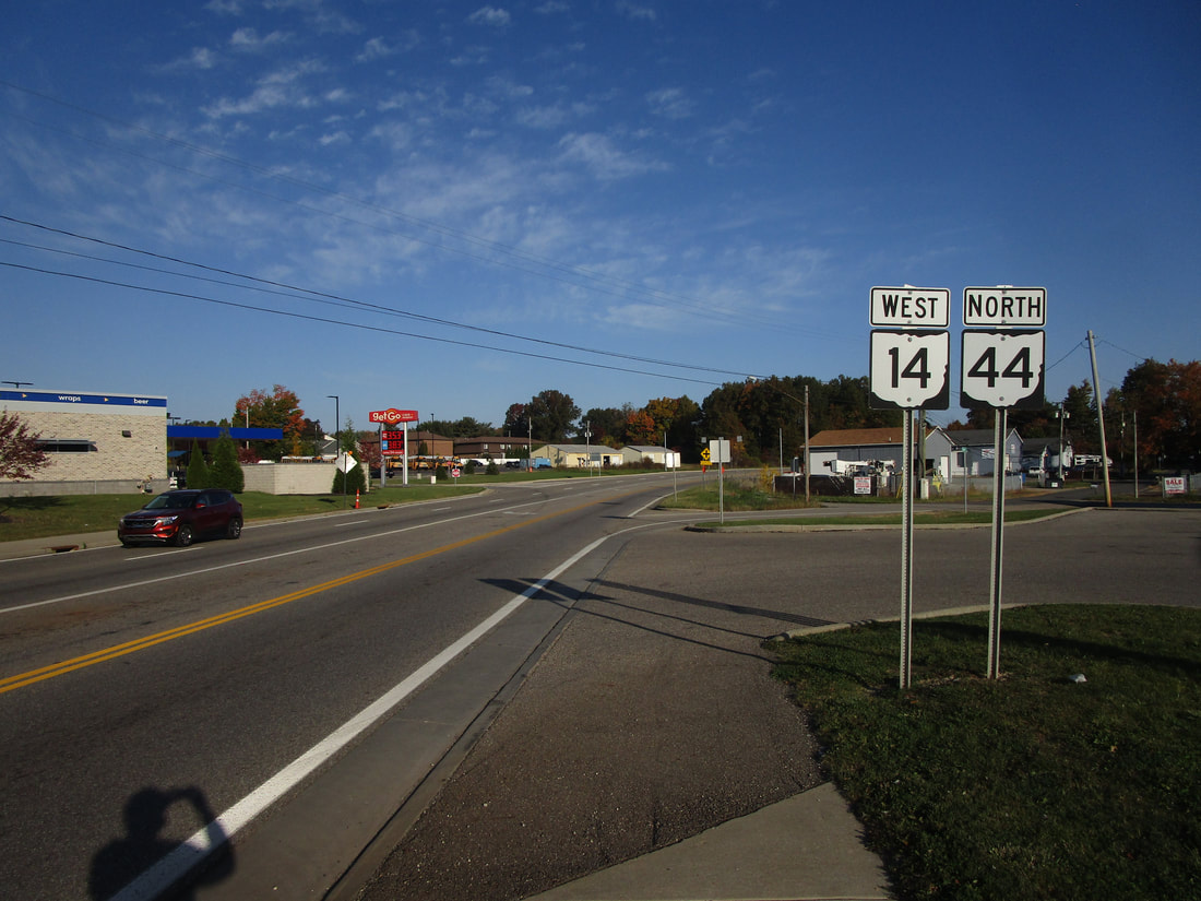
My photo of Ohio State Route 44 signage shows a pair of trailblazers on the east side of Ravenna. A bypass around the east side of Ravenna was built, carrying various different state highways around town. This photo looks east at an intersection due east of downtown Ravenna, between the bypass and Ohio Route 59. The bypass is carrying Ohio Route 14 and Ohio Route 44 at this point. This photo was taken during the grand tour around the northeastern quarter of Ohio in October 2022.
Back to Ohio Routes 1 through 99.
Back to the Ohio main page.
Back to the home page.
Back to Ohio Routes 1 through 99.
Back to the Ohio main page.
Back to the home page.

