Ohio State Route 672 is a very short east-west connector near Cumberland, Ohio, or about ten miles south of Chillicothe. As Ohio Route 146 departs Cumberland toward the northeast, it meets a fork where Ohio Route 672 begins. Veering left will keep an eastbound traveler on Ohio Route 146, but taking the rightmost option lands such a driver on Ohio Route 672. Ohio Route 672 ventures three miles to the east before ending at Ohio Route 821 south of Pleasant City. This eastern terminus is two miles west of Interstate 77.
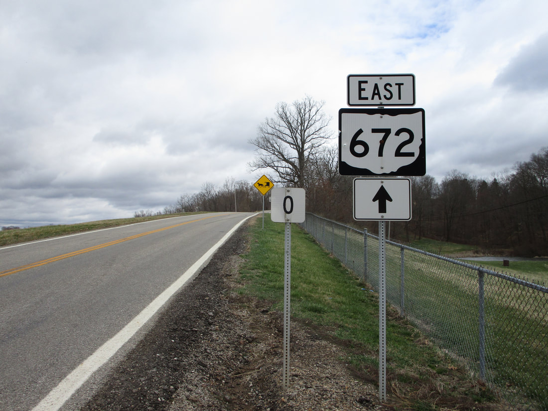
My photo for Ohio Route 672 comes from the western terminus at Ohio Route 146, just northeast of Cumberland, Ohio. The sign assembly shown serves as a guide marker to those heading northeastward on Ohio Route 146 at the fork, and it sort of serves as the first trailblazer as well. It's hard to tell that this is at the fork itself from the photo's background, but the "zero" mile marker assures us that this is at the very intersection where Ohio Route 672 begins. This photo was taken during my exhaustive tour of the southeastern quarter of Ohio in March 2021.
Back to Ohio Routes 600-699.
Back to the Ohio main page.
Back to the home page.
Back to Ohio Routes 600-699.
Back to the Ohio main page.
Back to the home page.
