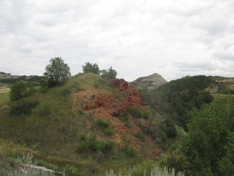
Theodore Roosevelt National Park comprises two detatched areas of badlands and natural wonders, both located in western North Dakota. While Badlands National Park sits in western South Dakota, Theodore Roosevelt National Park also hosts visitors to badlands farther north. The south unit of the national park, directly adjacent to Medora and Interstate 94, is much more heavily visited than the north unit, which is fifty miles to the north, near Watford City, North Dakota. The entrance to the south unit's road into the park is in Medora, which sits between two interchanges from Interstate 94. My visit to Theodore Roosevelt National Park was a short one that took place in August 2018. We saw an overlook of the Little Missouri River, the Painted Canyon Overlook, the Coal Vein Trail, and a Prairie Dog Town. Some shots were taken from roads traversing the badlands through the park. This first photo shows petrified wood, reminiscent of Petrified Forest National Park in Arizona:
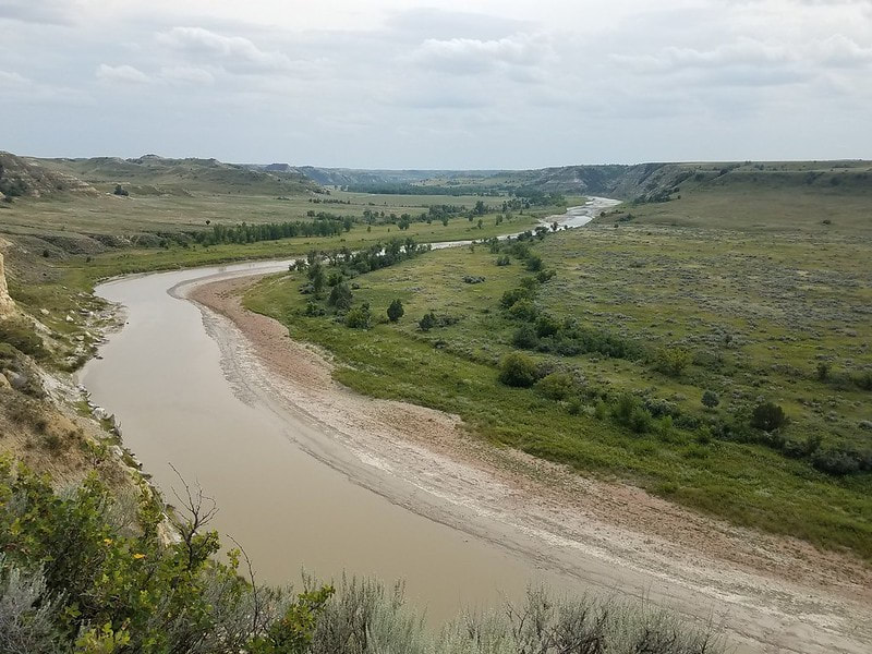
A half-canyon carved by the Little Missouri River:
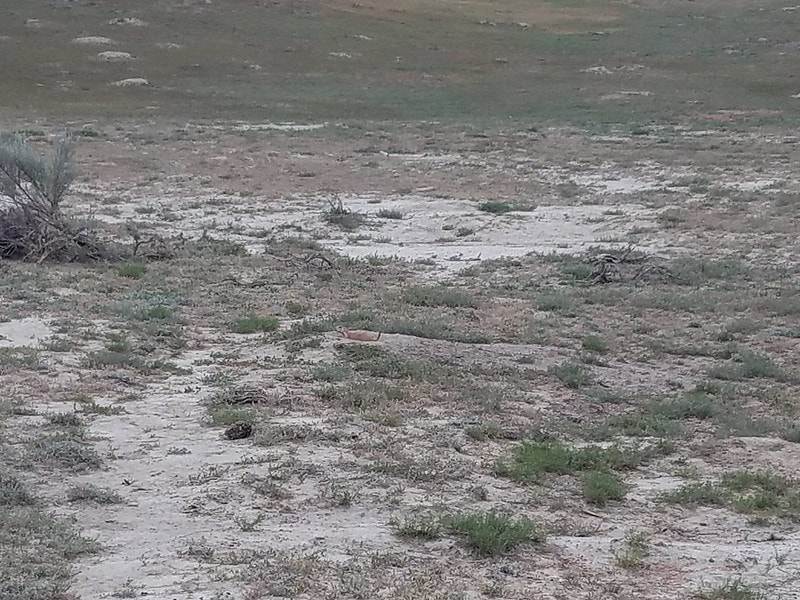
Here's just one of the squeaky prairie dogs we saw at a prairie dog town, which was a short hike along the Paddock Creek Trail. The official trail map of the South Unit from the National Park Service identifies the locations of several prairie dog towns. Prairie dogs are North America's answer to meerkats: little long-bodied rodents that squeak, dig networks of burrows to use as dwellings, and peer at things standing up on their hind legs. The colonies of underground burrows and entryways are known as "towns". This little guy was squeaking constantly to alert his cohorts of the potential dangers coming from the two human beings that just walked up to them:
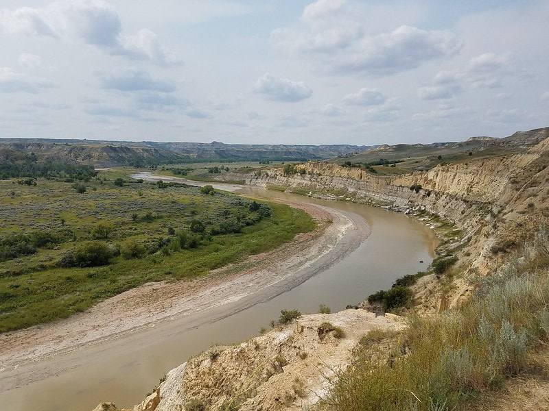
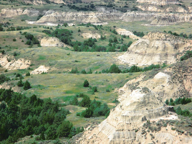
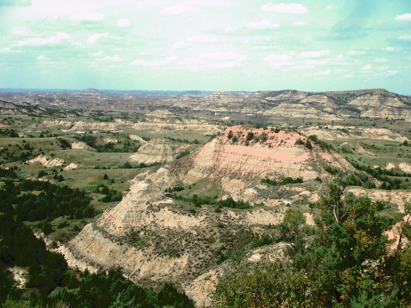
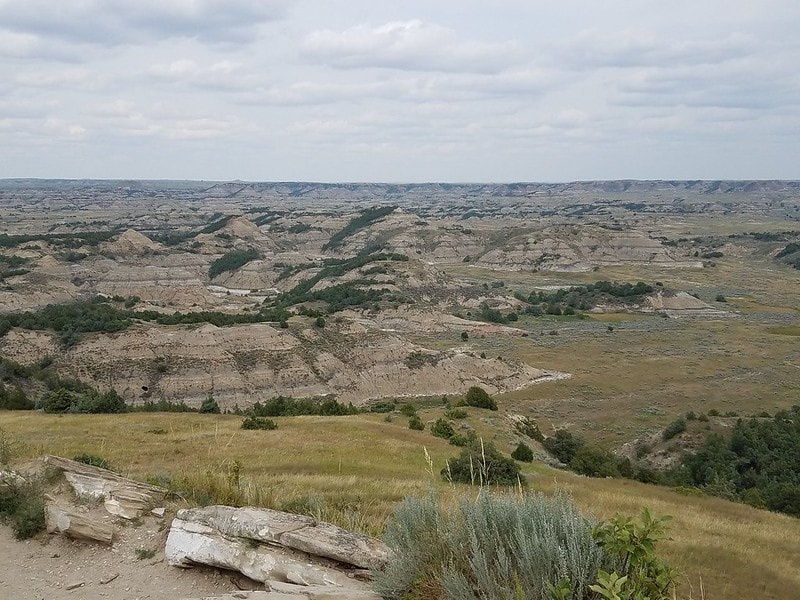
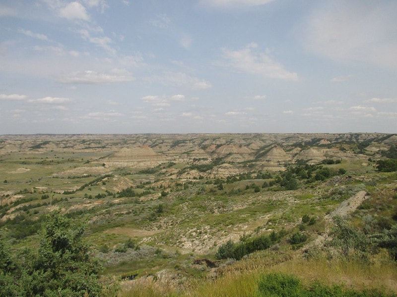
Here are some views of the badlands from the Painted Canyon Overlook, which is a viewing area to the east along Interstate 94. Note the distant bison in the center of the first shot:
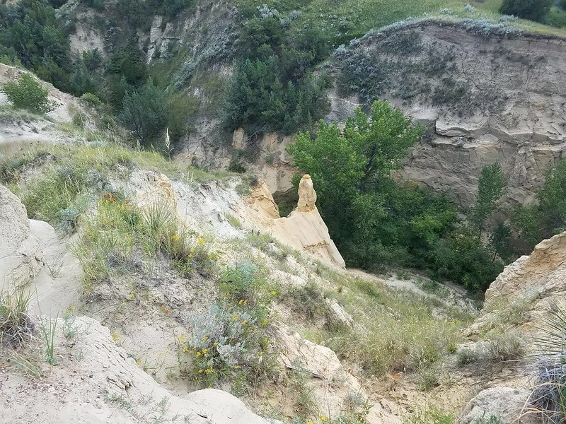
A single hoodoo (for more on hoodoos, read about Bryce Canyon National Park):
Count: Theodore Roosevelt National Park is the 9th national park we've visited.
Back to the national parks main page.
Back to the home page.
Back to the national parks main page.
Back to the home page.
