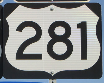
US Route 281States traversed: North Dakota, South Dakota, Nebraska, Kansas, Oklahoma, and Texas
|
|
US Route 281 is one of the longest north-south highways in the United States, running from Canada to the Mexican border at the southern tip of Texas. The northern end, near Dunseith, North Dakota, is the Canadian border crossing home to the International Peace Garden. The route heads south through all of the Great Plains states, passing mainly through rural areas. It lies toward the eastern side of the Dakotas, and continues south through the middles of Nebraska and Kansas. US Route 281 runs through the western part of Oklahoma outside the panhandle. In Texas, US Route 281 dives straight through the middle of the state to the Mexican border, but in McAllen, US Route 281 turns easterly along the north side of the Rio Grande. Its last eastward segment ends at US Route 77 in Brownsville. Texas Highway 48 continues east where US Route 281 leaves off, and honestly, US Route 281 should continue south to the border crossing in McAllen with Highway 48 taking over the east-west alignment of US Route 281. I don't know why US Route 281 splits into a separate east-west route.
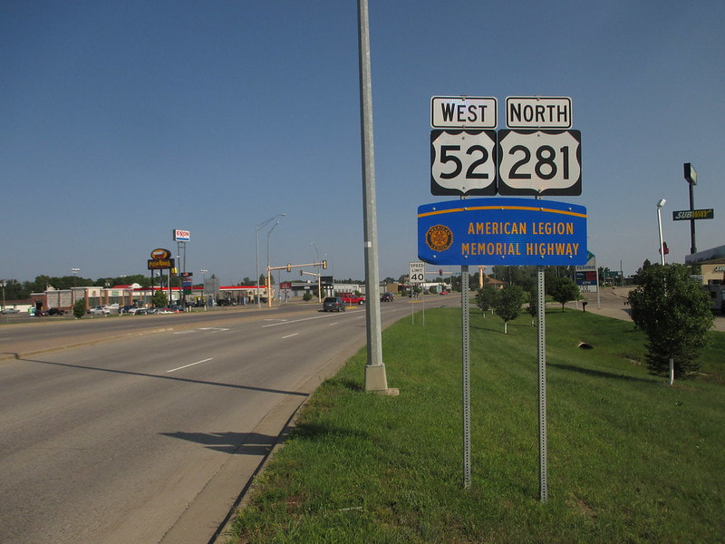
My photo of US Route 281 is the northbound trailblazer coming off of Interstate 94 in Jamestown, North Dakota. This sign faces those coming off of the interchange with Interstate 94 where US Route 52 leaves that freeway to join US Route 281 north. I took this photo heading west during the early part of my drive to the Pacific Ocean in August, 2018.
Back to the nationwide main page.
Back to the home page.
Back to the nationwide main page.
Back to the home page.
