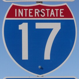
Interstate 17States traversed: Arizona
|
|
Interstate 17 runs from Phoenix north to Flagstaff, completely within the state of Arizona. The northern end in Flagstaff is at Interstate 40. From there, Interstate 17 heads south past Sedona and through mountainous terrain. When Interstate 17 reaches downtown Phoenix, it passes south of Interstate 10, before turning easterly to its final endpoint. Interstate 17 thus forms the western and southern parts of an inner loop around downtown Phoenix, while Interstate 10 forms the northern and eastern parts. Interstate 17 ends by merging with the eastern leg of the loop carrying Interstate 10, which turns back easterly.
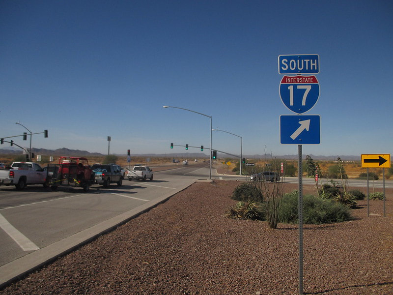
My photo for Interstate 17 comes from its interchange with Arizona State Route 74, near the Anthem area of far northern Phoenix. The guide marker shown in the photo faces east, marking the start of a cloverleaf ramp from the surface road onto Interstate 17 southbound. This picture was taken during a trip to the Phoenix area in November 2017.
Here are some more bonus photos from Interstate 17, as I drove it from end to end in September 2023:
Here are some more bonus photos from Interstate 17, as I drove it from end to end in September 2023:
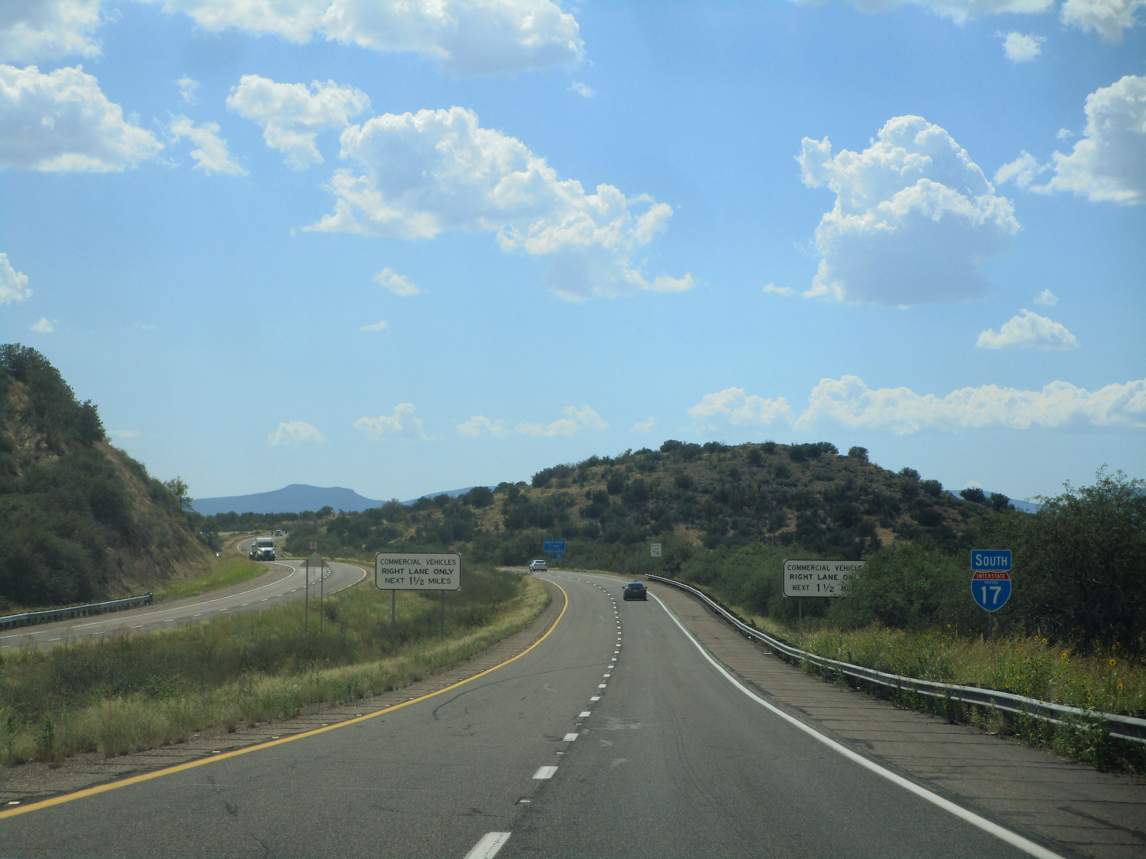
Interstate 17 looking south from exit 298.

Guide signage facing west at exit 252 from Interstate 17.

Guide signage to Interstate 17 facing northwest at exit 248.
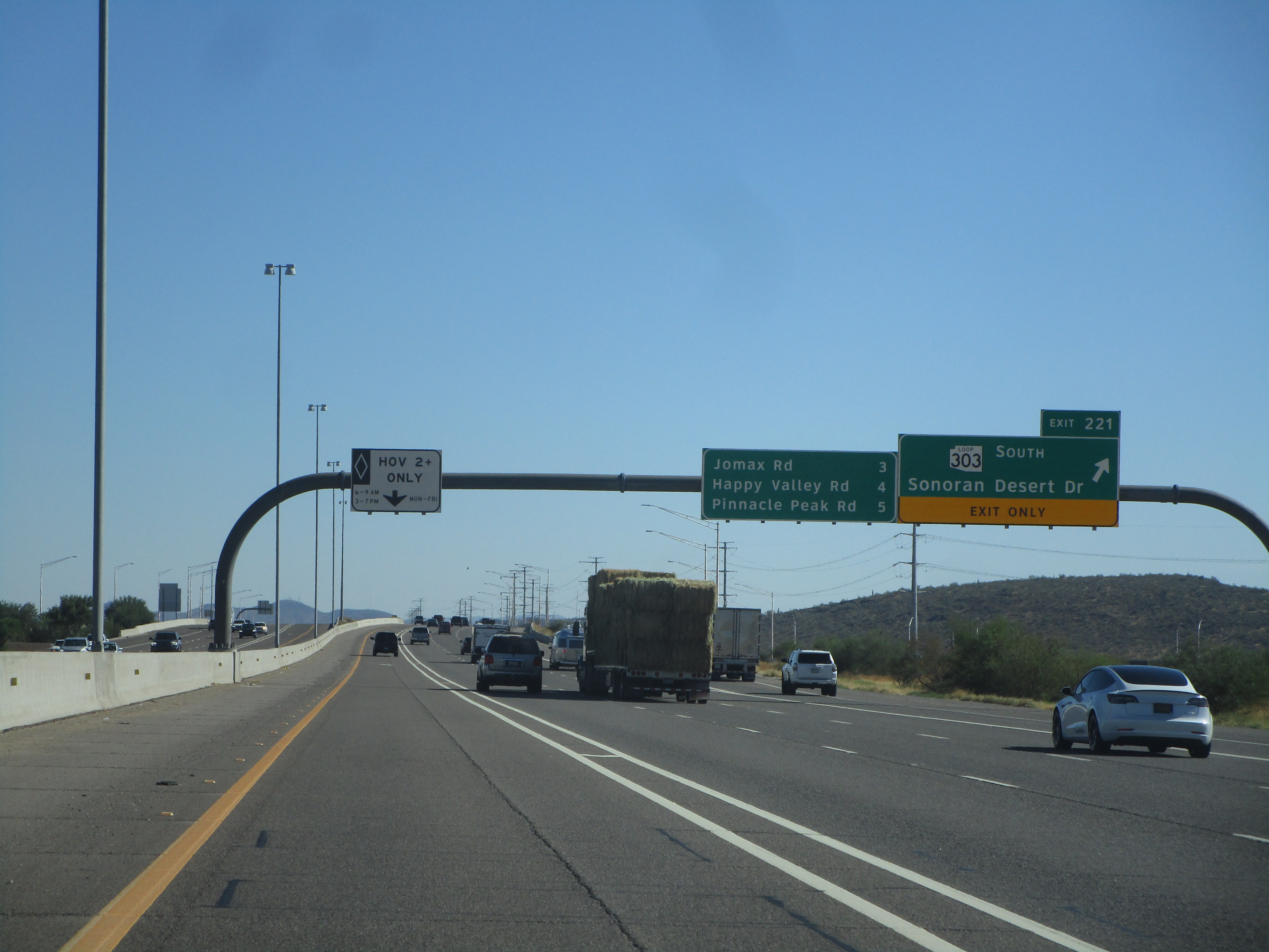
Exit 221 leads to the northeastern end of Arizona Loop 303, a bypass around the northwestern side of Phoenix. This scene looks south along Interstate 17 at exit 221.
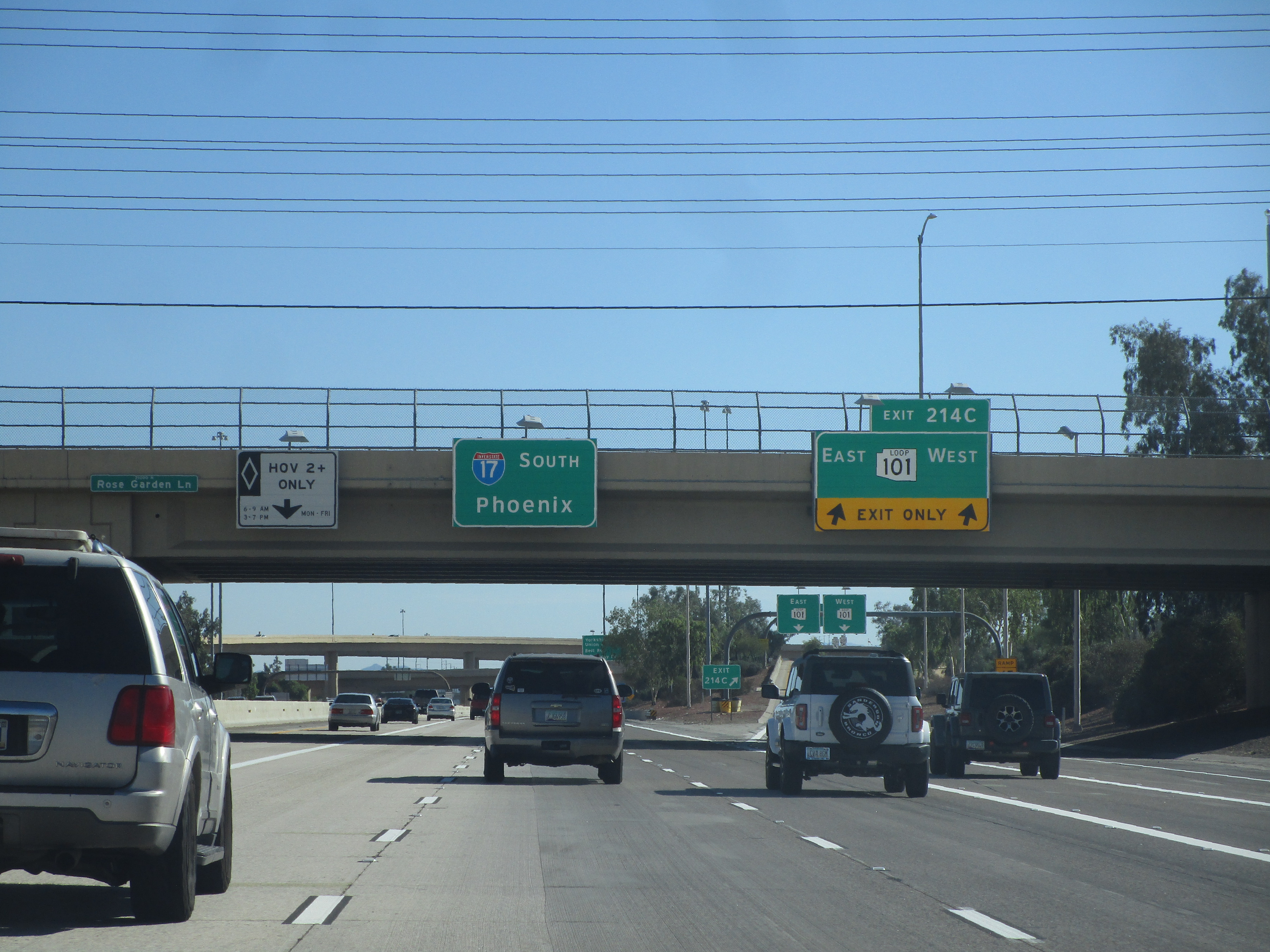
Interstate 17 looking south at the interchange with Arizona Loop 101 (exit 214C).

Interstate 17 heads south through Phoenix's north side, approaching Dunlap Avenue.

Interstate 17 first proceeds beyond Interstate 10, then it bends easterly to meet Interstate 10 again. Interstate 10 forms the northern and eastern sides of the square of freeways surrounding Downtown Phoenix; Interstate 17 forms the western and southern sides. Here is Interstate 17 proceeding south at the northwestern corner of that square.

As Interstate 17 is forming the western and southern sides of the freeway square surrounding Downtown Phoenix, it is concurrent with US Route 60.
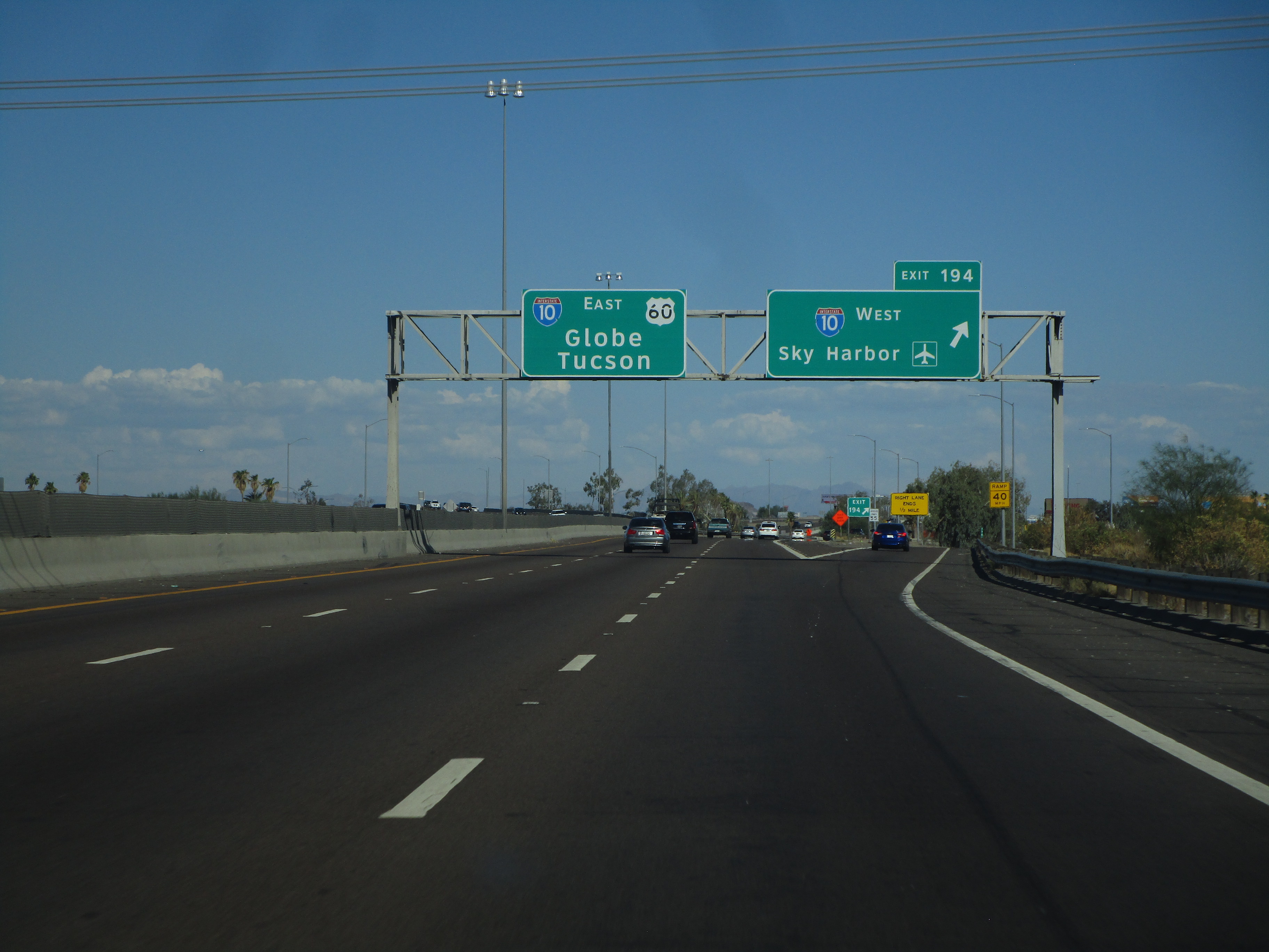
This gore point represents the last decision made by drivers on Interstate 17, as Interstate 17 ends at Interstate 10 at the southeastern corner of downtown Phoenix.
