Ohio State Route 38 marks the western edge of central Ohio, running south from Maryville to Bloomingburg. The route is about 50 miles long, skewering through London midway through its course. The northern end is at the central intersection of downtown Maryville, at a former alignment of US Route 36. Though the east-west street no longer has a numbered highway designation, the northern continuation of the roadway continues the start of Ohio Route 31. The southern end of Ohio Route 38 is just south of Bloomingburg, at US Route 62 (Ohio Route 3 is concurrent with US Route 62 at this point as well). Most travelers reaching the southern end continues south of US Route 62 into Washington Court House.
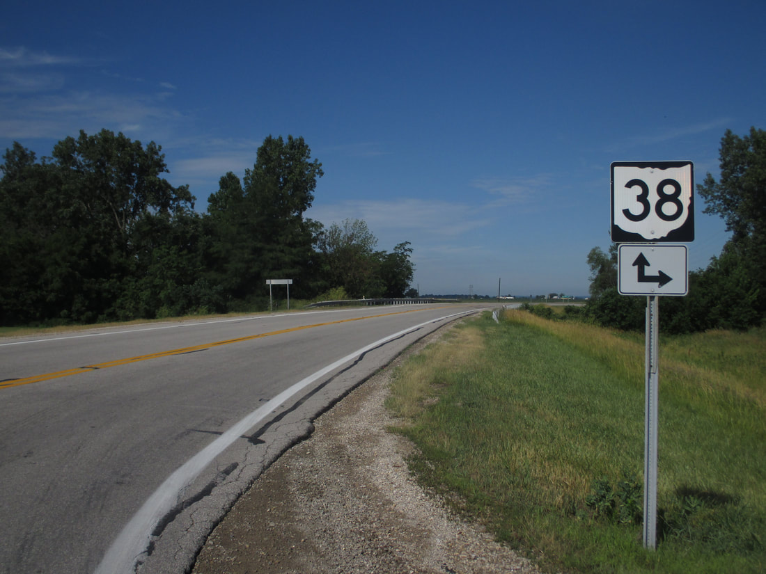
My photo of Ohio State Route 38 signage comes from the meeting with Ohio Route 161. Ohio Route 38 comes from the north to join Ohio Route 161 west for a very short concurrency, about 5 miles west of Plain City. The whole point of the concurrency is to provide a single bridge over Little Darby Creek that services both routes. Westbound travelers on Ohio Route 161 will see this guide marker signaling the start of the short concurrency. This photo was taken on the way home from Columbus in June 2016.
Back to Ohio Routes 1 through 99.
Back to the Ohio main page.
Back to the home page.
Back to Ohio Routes 1 through 99.
Back to the Ohio main page.
Back to the home page.

