Ohio State Route 522 is a fairly short route in a part of southern Ohio that's east of Portsmouth but north of Ironton. The route begins at US Route 52 along a northward-flowing jog in the Ohio River, and it ascends into the hills to the east. The western end of Ohio Route 522 used to be at the south end of Wheelersburg, at a two-lane road hosting the designation of US Route 52. Since US Route 52 got moved onto a new freeway built to the west, Ohio Route 522 now uses the old US Route 52 south for a mile or two, so it can reach an interchange with the new freeway. That freeway interchange is now the terminus of Ohio Route 522, and from there, it runs north along the old alignment to a right turn toward the east. The highway zigzags up into the hills. Halfway through its journey, Ohio Route 522 crosses out of Scioto County into western Lawrence County, and it splits with Ohio Route 650. The zigzagging only becomes more erratic at this point. After 16 miles in total, Ohio Route 522 ends at Ohio Route 93, in an unincorporated place called Lawrence.
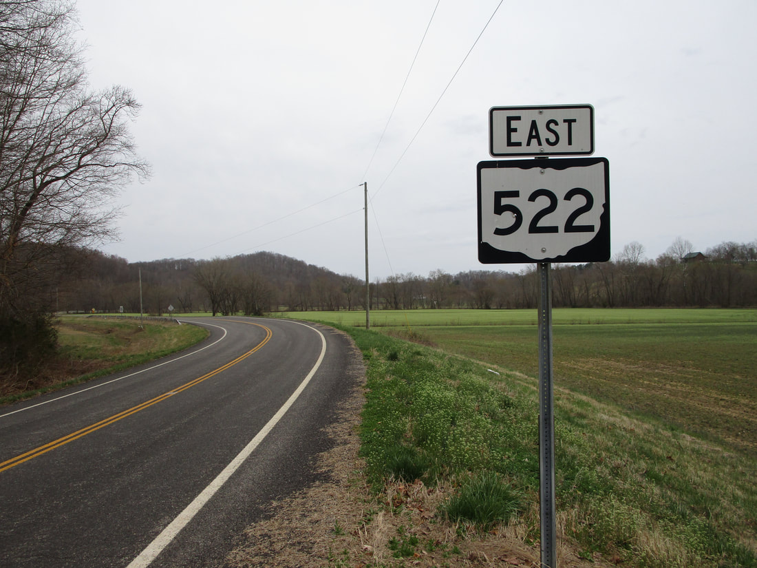
My photo for Ohio Route 522 shows the first eastbound trailblazer at the interchange with the US Route 52 freeway. As the westward flow of the Ohio River bends northerly for a short spell, so too does US Route 52. A standard diamond interchange forms the western extent of Ohio Route 522. Ohio Route 522 begins by pointing east and immediately bending north to get away from the interchange. That bend to the north is shown in the picture, which also includes a look at the first trailblazer for Ohio Route 522. This photo was taken in March 2021, during my tour around the southeastern quarter of Ohio.
Back to Ohio Routes 500-599.
Back to the Ohio main page.
Back to the home page.
Back to Ohio Routes 500-599.
Back to the Ohio main page.
Back to the home page.

