Ohio State Route 662 is a short north-south route, mainly in far western Guernsey County. The southern beginning occurs along Ohio Route 209 west of Cambridge. From there, Ohio Route 662 heads north for 8 miles, until it reaches the spot where Guernsey, Coshocton, and Muskingum Counties all meet (the triple point). Ohio Route 662, having clipped the northeast corner of Coshocton County and barely entered Muskingum County, ends at Ohio Route 93 south of Plainfield, Ohio. Ohio Route 662 winds through the hills and enters no towns. Ohio Route 658 parallels Ohio Route 662 to the east, and behaves very similarly; it's probably easy to get these two highways confused.
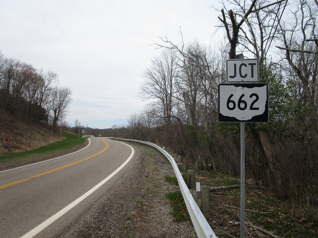
My photo for Ohio Route 662 signage shows a westbound junction marker along Ohio Route 209. The signage depicted announces to westbound travelers that the southern beginning to Ohio Route 209 is coming up soon. This photo was taken in March 2021, during the tour of southeastern Ohio.
Back to Ohio Routes 600-699.
Back to the Ohio main page.
Back to the home page.
Back to Ohio Routes 600-699.
Back to the Ohio main page.
Back to the home page.

