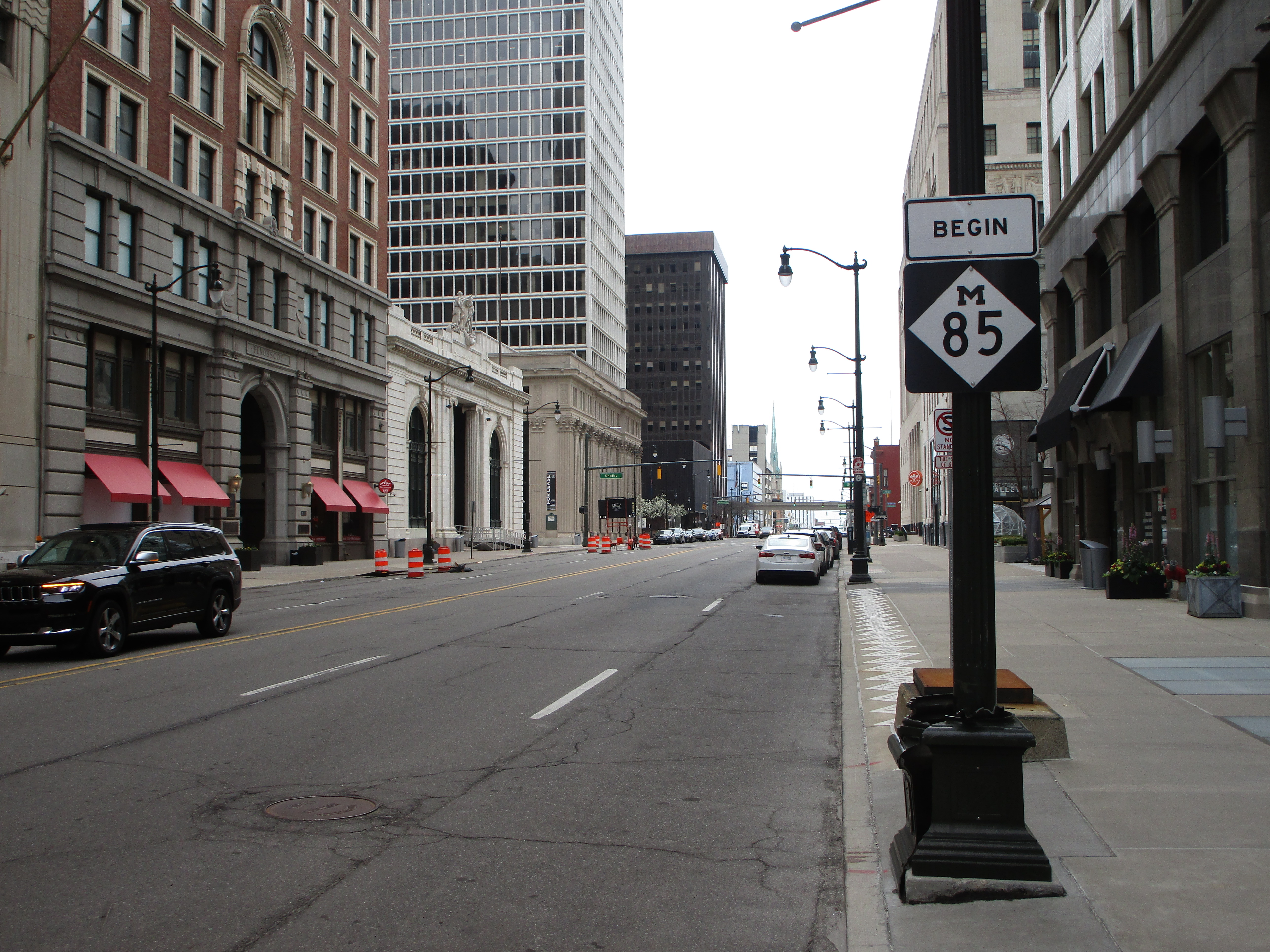
Michigan Highway 85 radiates out of Downtown Detroit to the southwest, in such a way that the route hugs the eastern edge of the State of Michigan until it ends. Michigan Highway 85 has the closest proximity to the Detroit River of any state-maintained route, for as long as it spans. The northern end of Michigan Highway 85 is at the corner of Fort Street and Griswold Street in downtown Detroit. Michigan Highway 85 heads southwesterly down Fort Street. Michigan Highway 85 and Fort Street, which are basically synonymous, shift their courses to southerly at Lincoln Park. Ultimately, Michigan Highway 85 will merge or split with Interstate 75 at the exit numbered "28". This southern terminus is near Rockwood, Michigan.
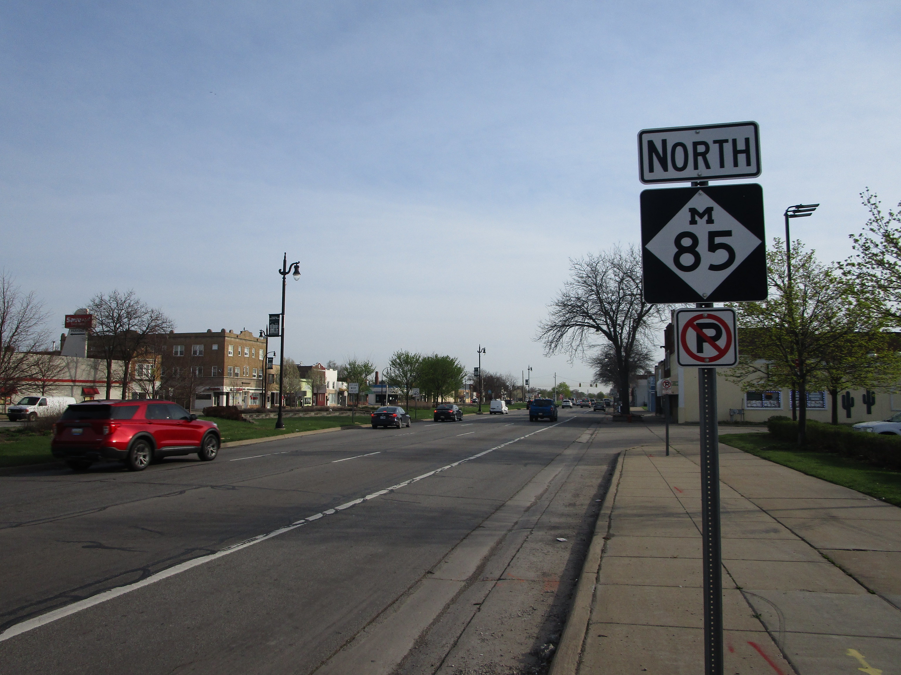
My photo of Michigan Highway 85 comes from Lincoln Park, where the route meets Michigan Highway 39. Depicted is the northbound reassurance marker travelers see when they turn off of Michigan Highway 39 onto Michigan Highway 85. This photo was taken in April 2021, during the trip around Metro Detroit and the Michigan Thumb.
Here are just a few additional photos taken from points along Michigan Highway 85:
Here are just a few additional photos taken from points along Michigan Highway 85:

Michigan 85 at a Michigan left near the Northline.

Michigan 85's northern end in Downtown Detroit.

Michigan 85's northern end in Downtown Detroit also has a begin marker, across the street from the sign shown in the previous photo.

