Michigan Highway 51 is a north-south highway from Niles to near Paw Paw, in southwest Michigan. The northern end is along Interstate 94 just west of Paw Paw. From its initial interchange, Michigan Highway 51 heads south to Decatur, where it begins to jog westerly. After jogging westerly, it returns to its overall southerly pathing, through Dowagiac to Niles. Michigan Highway 51 continues to its final stretch south of Niles, bound for the Indiana border. The southern extent of the route at the Indiana border transitions to Indiana Route 933, at a point just north of South Bend, Indiana.
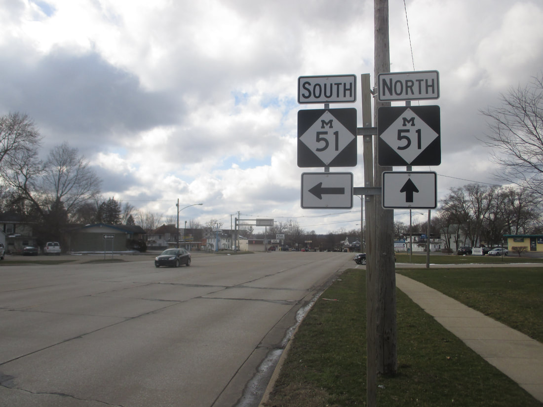
My photo of Michigan Highway 51 comes from Niles, where Michigan Highway turns westerly after coming from the south. The signage shown indicates to westbound travelers that a left turn will put them on Michigan Highway 51 southbound, and that staying straight will put them on Michigan Highway 51 northbound. These westbound travelers are on Michigan Highway 60, which ends here (the business alignment, anyway). A short drive around southwest Michigan in April 2018 gave me the chance to snap this photo.
Back to the Michigan main page.
Back to the home page.
Back to the Michigan main page.
Back to the home page.
