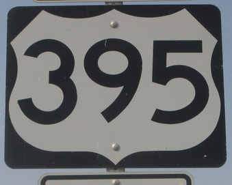
US Route 395 is a very long route for a three-digit US route, forming the most prominent north-south highway through eastern Washington, eastern Oregon, and eastern California. The portion in California cuts into the western corner of Nevada, providing the main north-south route through Reno and Carson City. The southern end is just north of the Riverside-San Bernardino area, at Interstate 15 in Hesperia, California. The northern end is the Canadian border in northeastern Washington. US Route 395 forms the main north-south route in Spokane and the Tri-Cities in Washington. It passes through mostly desolate areas of eastern Oregon before hugging the eastern side of the Sierra Nevada Mountains of California. In eastern California, US Route 395 is the closest highway to Mount Whitney, the tallest mountain in the contiguous United States. The highway is sandwiched between Death Valley National Park and the area of Sequoia and Kings Canyon National Parks. US Route 395 covers so much ground in inland portions of the Pacific Coast states that it can be hard to believe it's a 3-digit route.
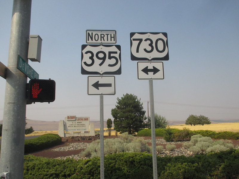
My photo for US Route 395 is at the junction where US Route 395 joins US Route 730 for a short bit, in its quest to join Interstate 82 north across the Columbia River. The Columbia River forms the border between Washington and Oregon in this region, so this is the northern edge of Oregon at a town named Umatilla. In August 2018, when I took this photo, the bridge over the Columbia River, shared by Interstate 82 and US Route 395, was closed. So my route from Glacier National Park to the Columbia River Gorge, part of my drive west to Astoria, Oregon, had to deviate from US Route 395 in the Tri-Cities, following US Route 12 and US Route 730 along the southeast side of the river. I decided to photograph both route markers for US Route 395 and US Route 730, at this sign assembly sitting on the northeast corner of the intersection.
Back to the nationwide main page.
Back to the home page.
Back to the nationwide main page.
Back to the home page.


