US Route 68States traversed: Kentucky and Ohio
|
|
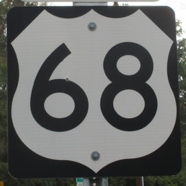
US Route 68 is a two-faced, strange route in Kentucky and Ohio. In Kentucky, US Route 68 begins in Paducah and runs along the southern side of the state, up to a point in south-central Kentucky due south of Louisville. At that point in Edmonton, Kentucky, US Route 68 changes into a northward route through Lexington and Maysville. US Route 68 crosses the Ohio River at Maysville into Ohio, and heads north to end in Findlay at an angling Interstate 75. At Findlay, Interstate 75 comes from the southwest and turns northerly, replacing US Route 68 as the northward route along this line of longitude. The western end in Paducah is at US Route 62 just north of Interstate 24. It goes southeast from there across Land Between the Lakes to Edmonton, northeast from there to Maysville, north through Springfield, Ohio, and north some more to Findlay.
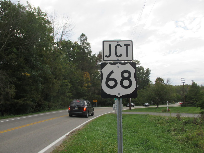
My photo for US Route 68 is the westbound junction marker posted along Ohio Route 343, a route running south of and parallel to Interstate 70. This is in Yellow Springs, Ohio, which is just east of Dayton and just south of Springfield. The first leg of my Northeast trip of October 2015 took me down the Interstate 70 corridor, where I got some signs for my Ohio collection, plus this one.
Back to the nationwide main page.
Back to the home page.
Back to the nationwide main page.
Back to the home page.
