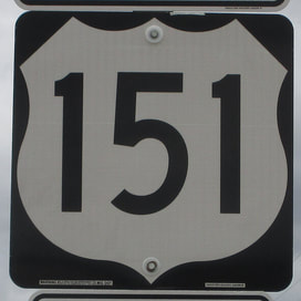
US Route 151 is an important diagonal highway across Wisconsin and northeastern Iowa, with a generally northeast-southwest angle. It's an important highway to people in Cedar Rapids and Dubuque in Iowa, as well as people in Madison, Fond du Lac, and Manitowoc, in Wisconsin. US Route 151 actually has its northeastern end in Manitowoc, at US Route 10, just shy of the point where US Route 10 begins its ferry crossing across Lake Michigan. US Route 151 heads southwest from there through Fond du Lac to Madison, where it serves as the main surface route through downtown, along Madison's famous isthmus between two lakes. US Route 151 continues past Madison concurrent with US Route 18 until Dodgeville, where US Route 151 heads southwest to cross the Mississippi River into Dubuque, Iowa. US Route 151 continues southwest from Dubuque to Cedar Rapids and beyond, though US Route 151 becomes a pretty insignificant route southwest of Cedar Rapids. US Route 151 passes through Iowa's Amana Colonies before it finally ends at Interstate 80, at a rural interchange west of Iowa City, Iowa.
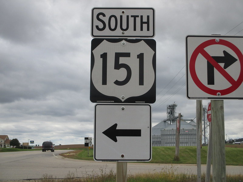
My photo for US Route 151 comes from the small town of Belmont, Wisconsin, at the northern end of Wisconsin Highway 126. The sign assembly depicted faces south, on the north side of an interchange where US Route 151 is aligned east-west for a time. The photo was taken during a day trip around southwestern Wisconsin, which took place in October 2016, as a last hurrah before the cold weather set in. I was happy to find a US Route 151 marker that wasn't a unisign-- a rarity in the state of Wisconsin.
Back to the nationwide main page.
Back to the home page.
Back to the nationwide main page.
Back to the home page.


