Ohio State Route 84 is a route near Interstate 90 and the Lake Erie shoreline, northeast of Cleveland. The route originates in the Cleveland suburbs and makes it to the Pennsylvania border, near Conneaut. The western beginning of Ohio Route 84 stems northerly from US Route 6, where Willoughby Hills meets Wickliffe, in the southwestern corner of Lake County. Ohio Route 84 soon corrects toward the east, through the heart of Wickliffe. Beyond Wickliffe, Ohio Route 84 heads northeasterly, sandwiched between US Route 20 and Interstate 90, a pair of routes that already are close to each other to begin with. Interstate 90, a freeway, is the primary highway in this area, with US Route 20 serving as a major arterial, leaving Ohio Route 84 to play a tertiary role. This is the case as Ohio Route 84 continues through Willoughby, Mentor, Painesville, and beyond. Ohio Route 84 then winds through the center of Ashtabula, staying between US Route 20 and Interstate 90 until it meets Ohio Route 193 at the hamlet of Kingsville. Ohio Route 84 joins Ohio Route 193 southeast for a short spell, crossing beyond Interstate 90 to enter its final easterly stretch. This final easterly stretch passes south of Conneaut to reach the Pennsylvania border, feeding into Pennsylvania Highway 226.
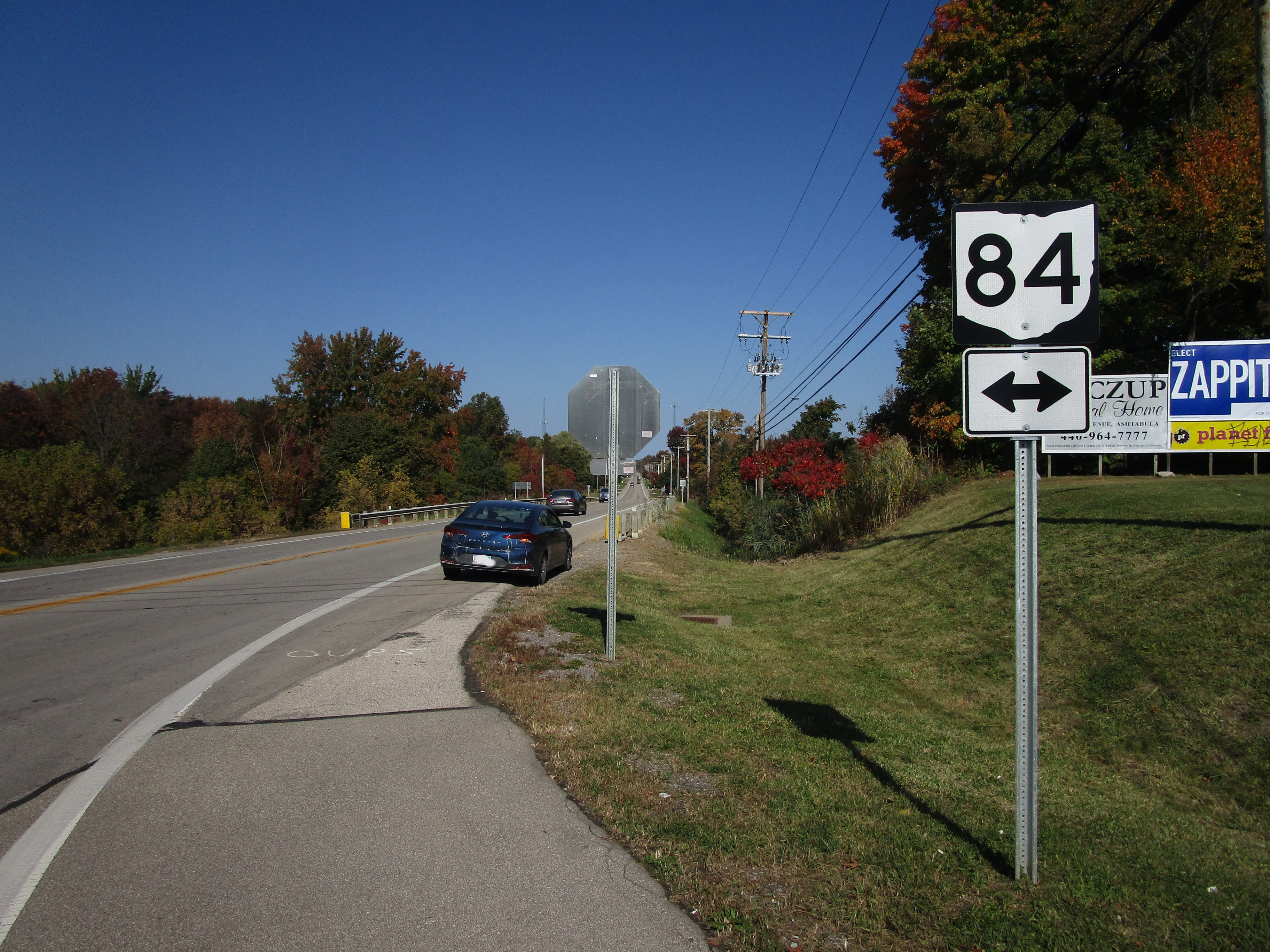
My photo of Ohio State Route 84 signage comes from a 4-way intersection with Ohio Route 45 a few miles west of Ashtabula. US Route 20 lies just to the north, and Interstate 90 lies just to the south, as usual. Northbound travelers on Ohio Route 45 will see this guide marker pointing out the intersection with Ohio Route 84 from the stop sign for which they're required to stop. This photo was taken during the grand tour of northeastern Ohio in October 2022.
Back to Ohio Routes 1-99.
Back to the Ohio main page.
Back to the home page.
Back to Ohio Routes 1-99.
Back to the Ohio main page.
Back to the home page.

