Ohio State Route 94 runs north-south for 55 miles in northeastern Ohio. It parallels Interstate 77 to the west, from the Cleveland suburbs down to Mount Eaton in Wayne County. The northern end departs from US Route 42 (and Ohio Route 3) in Brooklyn, a suburb of Cleveland. As Ohio Route 94 proceeds southerly, it passes through Parma, and then leaves the Cleveland metropolitan area. Near Interstate 76, it serves as the main north-south thoroughfare through Wadsworth. Later, Ohio Route 94 meets US Route 30 at Dalton. The southern end of Ohio Route 94 is in Mount Eaton, at US Route 250. At this junction serving as the southern end of Ohio Route 94, Ohio Route 241 comes from the east to take over as the southerly route.
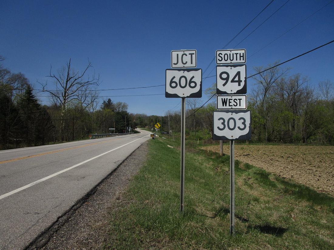
My photo of Ohio State Route 94 comes from the point where it joins Ohio Route 303 west near Brunswick. East of Brunswick, Ohio, Ohio Route 94's southerly course is interrupted by a short jog westward along Ohio Route 303. Right after Ohio Route 94 turns westerly along Ohio Route 303, the newly-formed concurrency meets the northern end of Ohio Route 606. That's why this photo shows a junction marker for Ohio Route 606 right next to the first westbound pair of trailblazers for Ohio Routes 94 and 303. The aperture looks west at all of these signs seen by westbound travelers. This photo was taken in April 2021, on a short detour from Interstate 80 westbound on the way home from Virginia and Pennsylvania.
Back to Ohio Routes 1-99.
Back to the Ohio main page.
Back to the home page.
Back to Ohio Routes 1-99.
Back to the Ohio main page.
Back to the home page.
