Michigan Highway 28 is the northerly of the two east-west highways spanning most of the Upper Peninsula. The southerly such route is US Route 2. The town of Wakefield, less than ten miles from the Upper Peninsula's western extent, is home to the western end of Michigan Highway 28. Westbound traffic converges with US Route 2 in Wakefield (i.e. it's the western endpoint). Nearly the entire northern half of the Upper Peninsula has Michigan Highway 28 running across it; the highway serves places like Ishpeming, Marquette, Munising, McMillan, and Brimley (via Michigan Highway 221). Traffic nearing the eastern end of Michigan Highway 28 will join Interstate 75 a short distance north to Sault Ste. Marie. Michigan Highway 28 doesn't continue much farther eastward beyond Interstate 75, ending at Michigan Highway 129 just south of Sault Ste. Marie. The eastern edge of the Upper Peninsula, marked by the southwardly-descending Canadian border, lies less than ten miles east of this eastern endpoint.
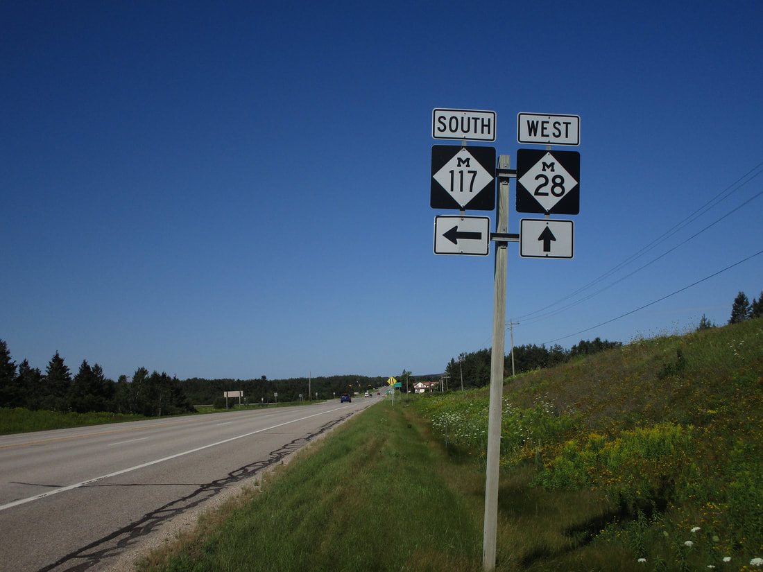
My photo of Michigan Highway 28 shows a guide assembly for westbound traffic at the junction with Michigan Highway 117. This intersection is just southwest of Newberry. Michigan Highway 28 basically serves Newberry too; reaching that town just requires a short jaunt northward on Michigan Highway 123. The photo shows signage that faces east for traffic on Michigan Highway 28 looking for the turn onto Michigan Highway 117 south. It was snapped in August 2020 along the trip to Pictured Rocks, Tahquamenon Falls, Mackinac Island, and Traverse City.
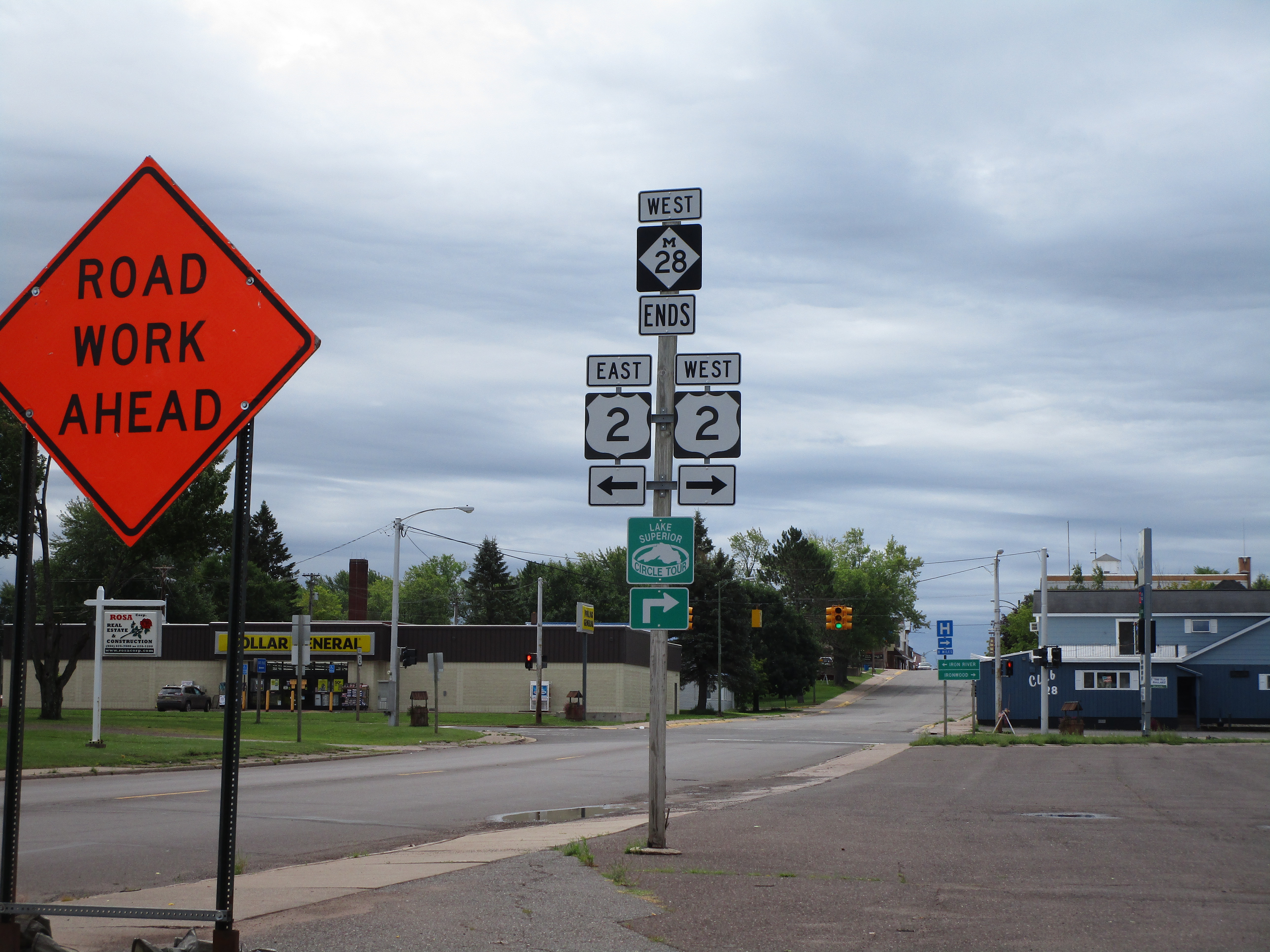
Here are some more photos along Michigan Highway 28, Michigan's longest state highway:
Here are some more photos along Michigan Highway 28, Michigan's longest state highway:
Michigan Highway 28 gets its western start at US Route 2 in Wakefield.

Michigan Highway 28 and Michigan Highway 64 share a short concurrency from Merriwether to Bergland in Gogebic County.
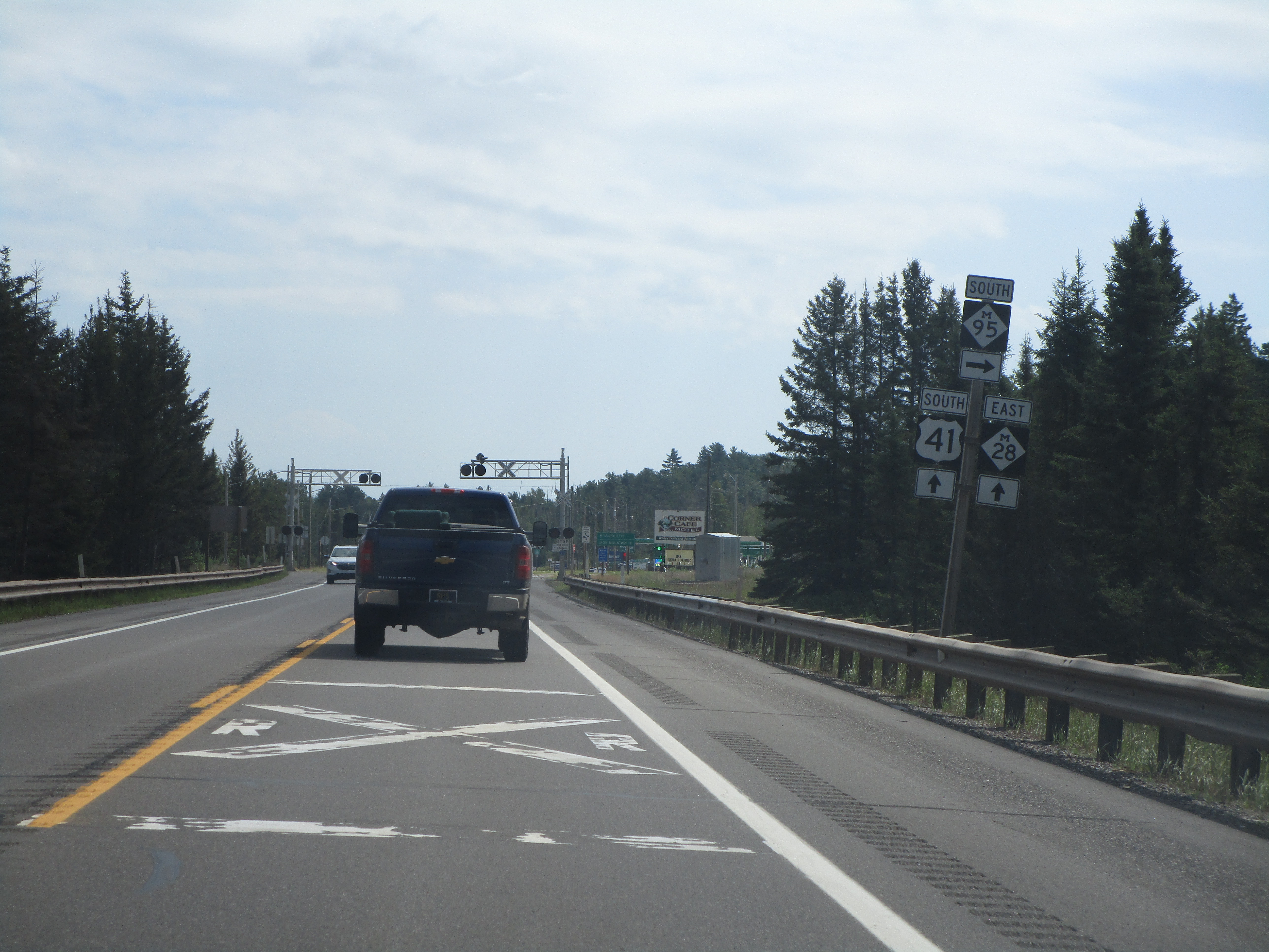
Michigan Highway 28 has a long concurrency with US Route 41 in the middle of the Upper Peninsula, and this concurrency meets Michigan Highway 95 near Champion, Michigan.
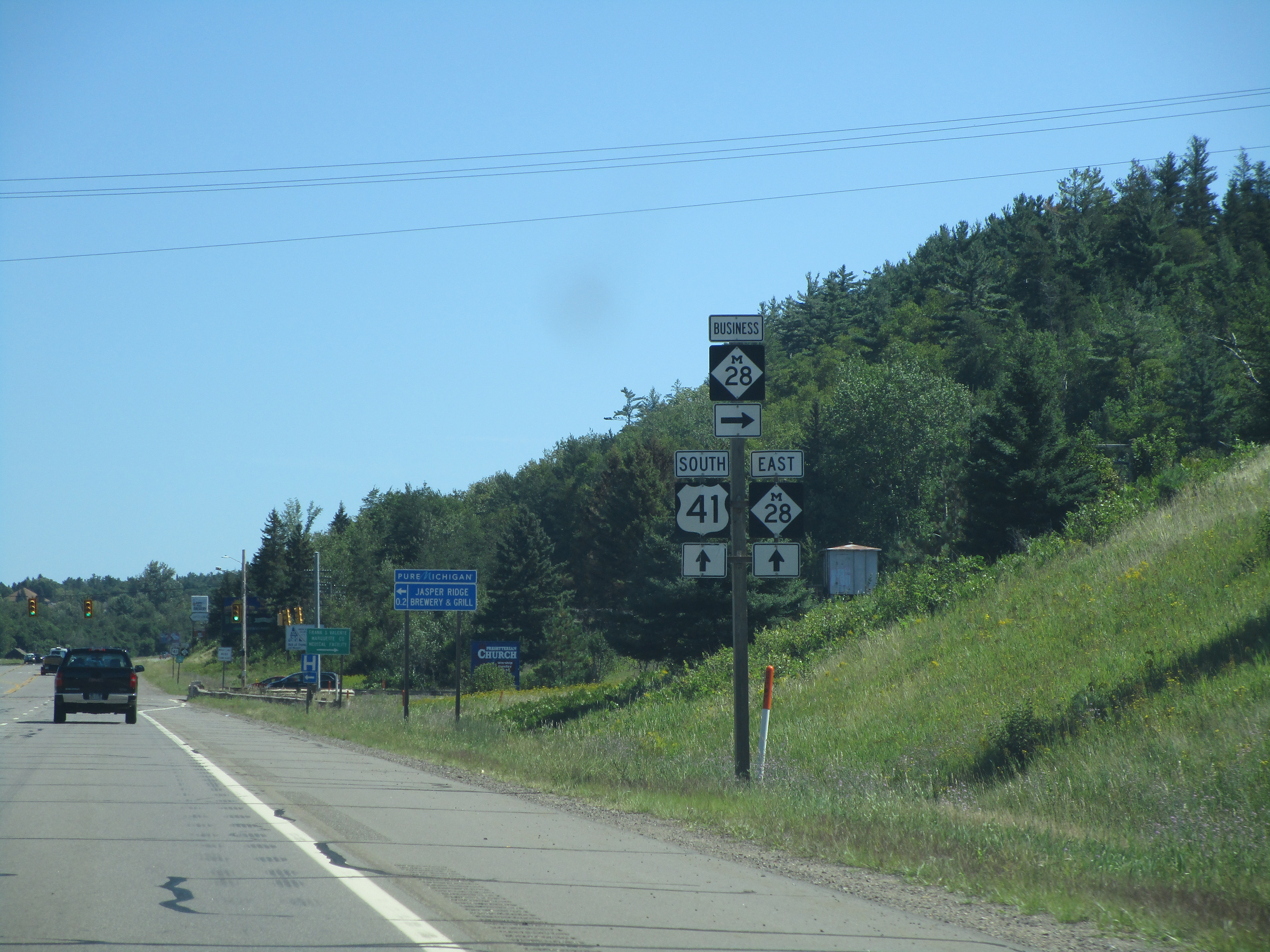
Michigan Highway 28 has a little separate business route that serves Ishpeming and Negaunee, two mining towns just west of Marquette. This photo was taken facing east at the west end of the business route.

Michigan Highway 28 at the northern end of Michigan Highway 117, near Newberry.

Michigan Highway 123's western end is near Newberry as well, and Michigan Highway 28 gives that route its start.

Michigan Highway 28's eastern end at Michigan Highway 129, just east of Interstate 75.
