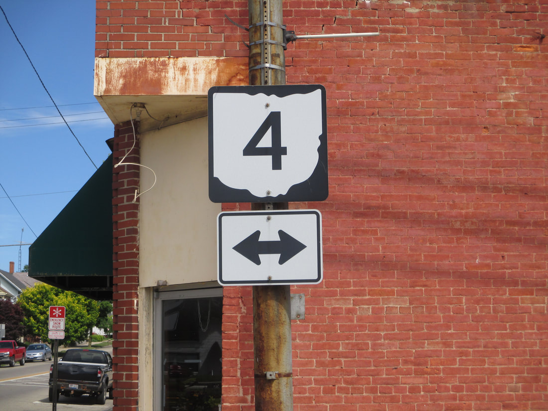
Ohio State Route 4 connects Cincinnati, Dayton, Springfield, and Sandusky, running from the southern edge of the state to the northern edge. The southern end is at US Route 42 on the north side of Cincinnati. From there, Ohio Route 4 heads north to Dayton, bowing west to serve the city of Hamilton. Next, Ohio Route 4 heads for Middletown, and it is at about this point where Ohio Route 4 begins heading northeasterly rather than northerly. Ohio Route 4 cuts right through Dayton and heads to Springfield after that. Springfield has Ohio Route 4 running more east-west, but beyond Springfield, Ohio Route 4 goes northeasterly again to Marysville. Then, Ohio Route 4 heads north-northeasterly to Marion and Bucyrus. The remainder of Ohio Route 4 continues north-northeasterly through rural areas, until it reaches Sandusky. Ohio Route 4 ends in downtown Sandusky, at US Route 6.
My photo of Ohio State Route 4 signage comes from Mechanicsburg a town between Springfield and Marysville. Ohio Route 29 runs northwest-southwest through Mechanicsburg, crossing Ohio Route 4, a northeast-southwest route. Both diagonal routes meet at a 4-way intersection central to Mechanicsburg. The guide marker faces southeast at northwestward travelers on Ohio Route 29, at the intersection with Ohio Route 4. Note that this intersection is also the southern extent of Ohio Route 559. This photo was taken in June 2016 as I was using back roads on my way home from Columbus.
Back to Ohio Routes 1 through 99.
Back to the Ohio main page.
Back to the home page.
Back to Ohio Routes 1 through 99.
Back to the Ohio main page.
Back to the home page.

