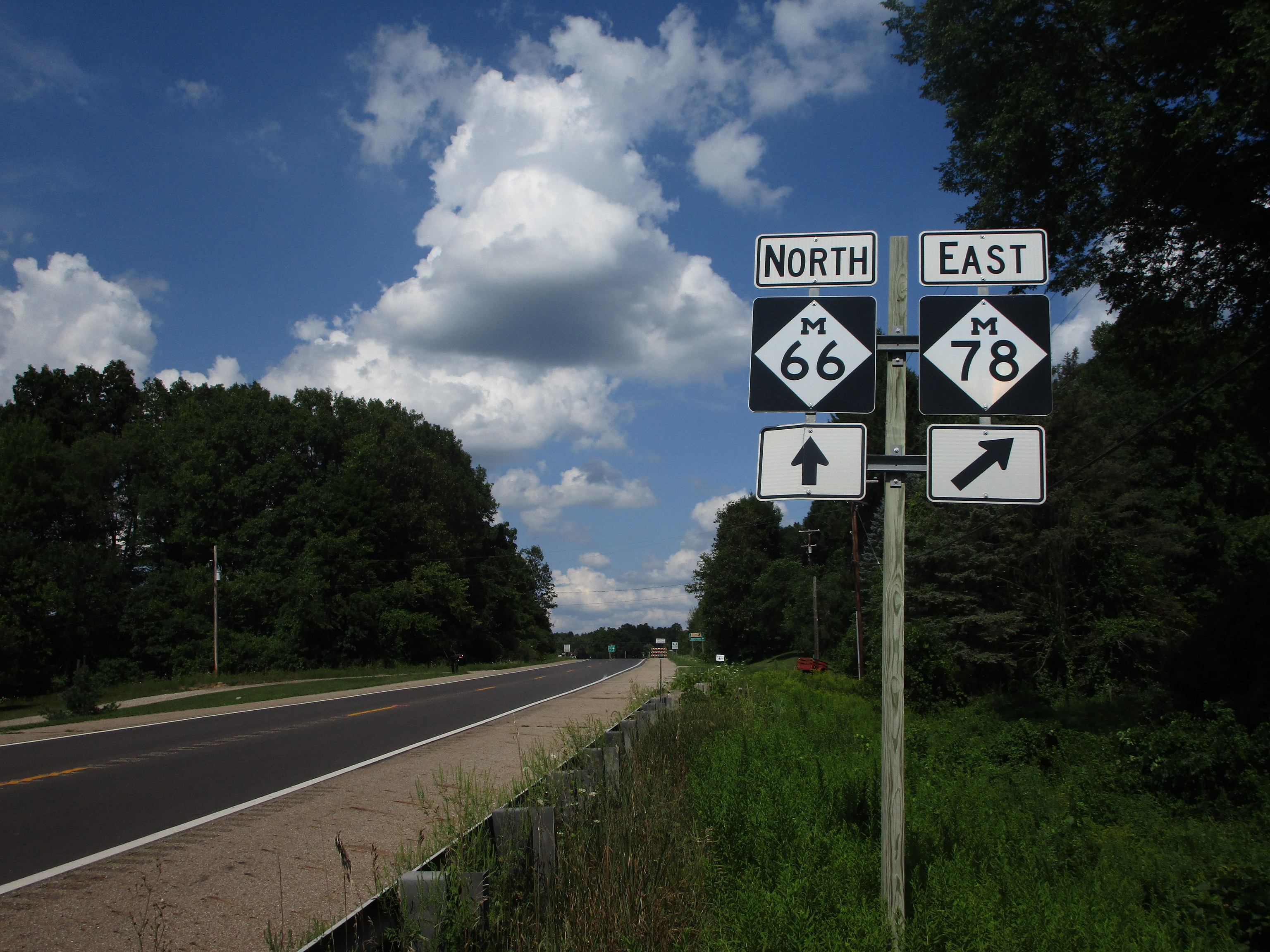
Michigan Highway 78 is a short east-west highway north of Battle Creek and Marshall. The western end is at Michigan Highway 66, which runs north out of Battle Creek. Michigan Highway 78 heads east from there through the town of Bellevue. Only two miles beyond Bellevue, Michigan Highway 78 ends at Interstate 69. All in all, Michigan Highway 78 is only about eight to nine miles long, but for some reason, the highway is lined with reassurance markers with exceedingly small symbology (see above).
My photo of a Michigan Highway 78 sign comes from the western end at Michigan Highway 66, just north of Battle Creek. The weird emaciated Michigan Highway 78 markers are posted all along Michigan Highway 78, so I had to look along another adjoining highway to find an acceptable route marker. The signage depicted faces south along Michigan Highway 66, showing northbound travelers where the split onto Michigan Highway 78 occurs. This photo was taken on the way home from my trip to northern Michigan in August 2020.
Back to the Michigan main page.
Back to the home page.
Back to the Michigan main page.
Back to the home page.

